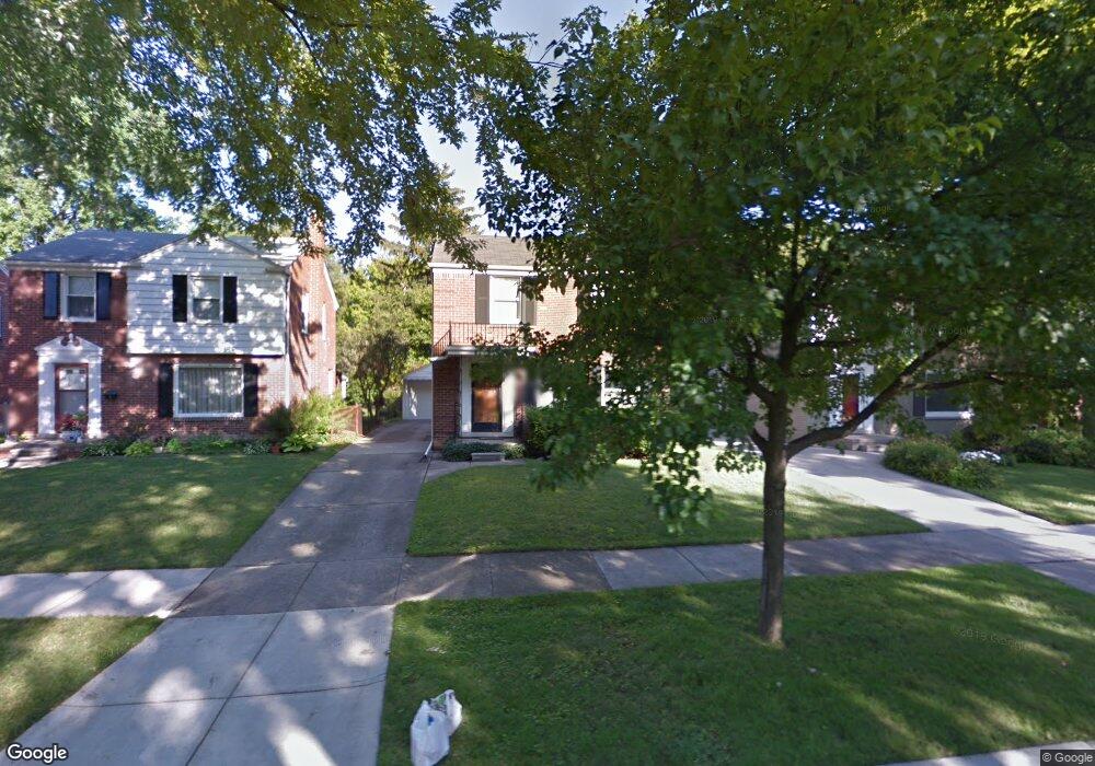
19217 Raymond St Grosse Pointe Woods, MI 48236
Estimated Value: $242,000 - $291,000
3
Beds
2
Baths
1,450
Sq Ft
$181/Sq Ft
Est. Value
About This Home
This home is located at 19217 Raymond St, Grosse Pointe Woods, MI 48236 and is currently estimated at $263,112, approximately $181 per square foot. 19217 Raymond St is a home located in Wayne County with nearby schools including John Monteith Elementary School, Brownell Middle School, and Grosse Pointe North High School.
Ownership History
Date
Name
Owned For
Owner Type
Purchase Details
Closed on
Mar 28, 2024
Sold by
Johnson Scott Alexander
Bought by
Johnson Scott Alexander and Mcnamara Meghan Quinn
Current Estimated Value
Purchase Details
Closed on
Feb 27, 2002
Sold by
Couch David A
Bought by
Johnson Scott A
Purchase Details
Closed on
Sep 29, 1997
Sold by
Yuhn Mark C
Bought by
David A and Couch Lisa J
Create a Home Valuation Report for This Property
The Home Valuation Report is an in-depth analysis detailing your home's value as well as a comparison with similar homes in the area
Home Values in the Area
Average Home Value in this Area
Purchase History
| Date | Buyer | Sale Price | Title Company |
|---|---|---|---|
| Johnson Scott Alexander | -- | None Listed On Document | |
| Johnson Scott A | $200,000 | -- | |
| David A | $138,000 | -- |
Source: Public Records
Tax History Compared to Growth
Tax History
| Year | Tax Paid | Tax Assessment Tax Assessment Total Assessment is a certain percentage of the fair market value that is determined by local assessors to be the total taxable value of land and additions on the property. | Land | Improvement |
|---|---|---|---|---|
| 2025 | $2,144 | $114,900 | $0 | $0 |
| 2024 | $2,144 | $108,300 | $0 | $0 |
| 2023 | $2,062 | $96,800 | $0 | $0 |
| 2022 | $3,230 | $88,700 | $0 | $0 |
| 2021 | $3,079 | $89,200 | $0 | $0 |
| 2020 | $3,170 | $87,900 | $0 | $0 |
| 2019 | $1,877 | $80,400 | $0 | $0 |
| 2018 | $1,845 | $67,000 | $0 | $0 |
| 2017 | $2,144 | $65,100 | $0 | $0 |
| 2016 | $2,922 | $63,900 | $0 | $0 |
| 2015 | $5,065 | $63,600 | $0 | $0 |
| 2013 | $4,890 | $49,900 | $0 | $0 |
| 2012 | -- | $51,200 | $15,600 | $35,600 |
Source: Public Records
Map
Nearby Homes
- 19299 Raymond St
- 19226 Eastborne St
- 19242 Eastborne St
- 5910 Hillcrest St
- 21747 Newcastle Rd
- 21746 Moross Rd
- 19000 Chandler Park Dr
- 21674 Prestwick Ave
- 5273 Hillcrest St
- 21519 Sloan Dr
- 5228 Hillcrest St
- 18721 Chandler Park Dr
- 483 Allard Ave
- 1780 Broadstone Rd
- 463 Lexington Rd
- 5522 Ashley St
- 450 Roland Rd
- 21248 Newcastle Rd
- 21225 Bournemouth St
- 21315 Prestwick Ave
- 19229 Raymond St
- 19209 Raymond St
- 19201 Raymond St
- 19235 Raymond St
- 19243 Raymond St
- 19216 Linville St
- 19228 Linville St
- 19210 Linville St
- 19234 Linville St
- 19202 Linville St
- 19251 Raymond St
- 19242 Linville St
- 19210 Raymond St
- 19228 Raymond St
- 19234 Raymond St
- 19202 Raymond St
- 19259 Raymond St
- 19250 Linville St
- 19242 Raymond St
- 19258 Linville St