19217 SE Highway 212 Damascus, OR 97089
Estimated Value: $631,000 - $735,000
3
Beds
3
Baths
2,250
Sq Ft
$306/Sq Ft
Est. Value
About This Home
This home is located at 19217 SE Highway 212, Damascus, OR 97089 and is currently estimated at $688,835, approximately $306 per square foot. 19217 SE Highway 212 is a home located in Clackamas County with nearby schools including Deep Creek - Damascus K-8 School, Sam Barlow High School, and Deep Creek-Damascus K-8 School.
Ownership History
Date
Name
Owned For
Owner Type
Purchase Details
Closed on
Mar 4, 2025
Sold by
Morrison Gary D and Morrison Sally A
Bought by
Morrison Living Trust and Morrison
Current Estimated Value
Purchase Details
Closed on
Oct 16, 1998
Sold by
Morrison Gary D and Morrison Sally A
Bought by
Morrison Gary D and Morrison Sally A
Home Financials for this Owner
Home Financials are based on the most recent Mortgage that was taken out on this home.
Original Mortgage
$65,000
Interest Rate
6.6%
Create a Home Valuation Report for This Property
The Home Valuation Report is an in-depth analysis detailing your home's value as well as a comparison with similar homes in the area
Home Values in the Area
Average Home Value in this Area
Purchase History
| Date | Buyer | Sale Price | Title Company |
|---|---|---|---|
| Morrison Living Trust | -- | None Listed On Document | |
| Morrison Gary D | -- | Pacific Nw Title |
Source: Public Records
Mortgage History
| Date | Status | Borrower | Loan Amount |
|---|---|---|---|
| Previous Owner | Morrison Gary D | $65,000 |
Source: Public Records
Tax History Compared to Growth
Tax History
| Year | Tax Paid | Tax Assessment Tax Assessment Total Assessment is a certain percentage of the fair market value that is determined by local assessors to be the total taxable value of land and additions on the property. | Land | Improvement |
|---|---|---|---|---|
| 2025 | $5,476 | $340,965 | -- | -- |
| 2024 | $5,231 | $331,034 | -- | -- |
| 2023 | $5,231 | $321,393 | $0 | $0 |
| 2022 | $4,799 | $312,033 | $0 | $0 |
| 2021 | $4,646 | $302,945 | $0 | $0 |
| 2020 | $4,516 | $294,122 | $0 | $0 |
| 2019 | $4,408 | $285,556 | $0 | $0 |
| 2018 | $4,188 | $277,239 | $0 | $0 |
| 2017 | $4,018 | $269,164 | $0 | $0 |
| 2016 | $3,412 | $261,324 | $0 | $0 |
| 2015 | $3,886 | $253,713 | $0 | $0 |
| 2014 | $3,746 | $246,323 | $0 | $0 |
Source: Public Records
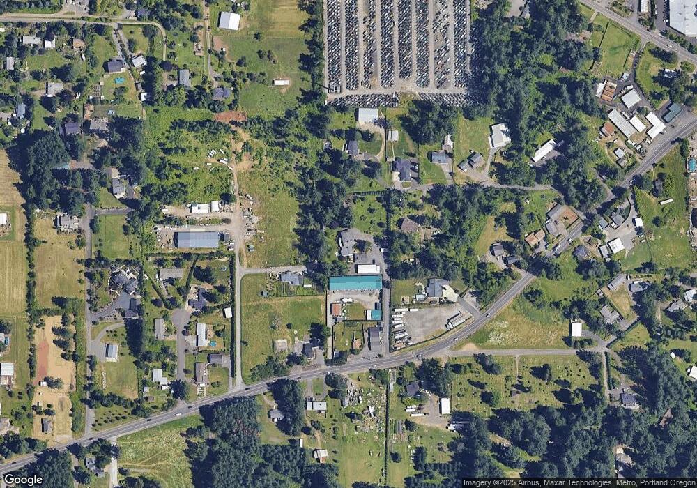
Map
Nearby Homes
- 18680 SE Highway 212
- 14543 SE West Park Ct
- 18027 SE Emi St
- 14120 SE Brent Ave
- 0 SE Armstrong Cir
- 14548 SE 172nd Ave
- 13633 SE 178th Ave
- 15400 SE Barlow Ct
- 20320 SE Walgren Rd
- 14790 SE 172nd Ave
- 17156 SE Macanudo St
- 15694 SE Upman Way
- 20160 SE Foster Rd
- 15566 SE Melinda Ct
- 15556 SE Gladys Rose Way
- 12672 SE 172nd Ave
- 17310 SE Crossroads Ave
- 16911 SE Siri Ct
- 12035 SE Wiese Rd
- 17483 SE Acadia St
- 19211 SE Highway 212
- 14547 SE Red Dirt Rd
- 14532 SE Red Dirt Rd
- 14579 SE Red Dirt Rd
- 19455 SE Highway 212
- 14500 SE Red Dirt Rd
- 19285 SE Highway 212
- 14562 SE Red Dirt Rd
- 19191 SE Highway 212
- 14596 SE Red Dirt Rd
- 19551 SE Highway 212
- 19127 SE Highway 212
- 19601 SE Highway 212
- 19360 SE Highway 212
- 14820 SE North Ct
- 14896 SE North Ct
- 19511 SE Highway 212
- 14817 SE North Ct
- 19609 SE Chitwood Rd
- 19020 SE Sunnyside Rd