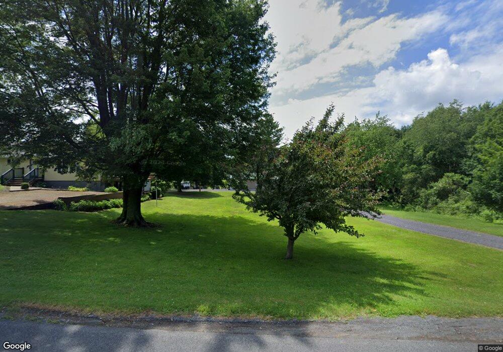
1922 Andrews Rd Sterling, NY 13156
Estimated Value: $198,000 - $272,234
2
Beds
3
Baths
1,798
Sq Ft
$134/Sq Ft
Est. Value
About This Home
This home is located at 1922 Andrews Rd, Sterling, NY 13156 and is currently estimated at $241,309, approximately $134 per square foot. 1922 Andrews Rd is a home located in Cayuga County with nearby schools including Fairley School, Kenney Middle School, and Hannibal High School.
Ownership History
Date
Name
Owned For
Owner Type
Purchase Details
Closed on
Jun 27, 2000
Sold by
Randall- Le Flore
Bought by
Scott William
Current Estimated Value
Purchase Details
Closed on
Nov 15, 1999
Sold by
Maryann Le Flore Randall-
Bought by
Le Flore Randall
Purchase Details
Closed on
Jul 31, 1995
Sold by
Cloutier Michael L
Bought by
Flore Randall-Maryann
Purchase Details
Closed on
Feb 8, 1993
Sold by
Whiting Sharon Ward
Bought by
Cloutier Michael L
Create a Home Valuation Report for This Property
The Home Valuation Report is an in-depth analysis detailing your home's value as well as a comparison with similar homes in the area
Home Values in the Area
Average Home Value in this Area
Purchase History
| Date | Buyer | Sale Price | Title Company |
|---|---|---|---|
| Scott William | $65,000 | Gregory Scicchitano | |
| Le Flore Randall | -- | None | |
| Flore Randall-Maryann | $77,900 | -- | |
| Cloutier Michael L | $74,900 | -- |
Source: Public Records
Tax History Compared to Growth
Tax History
| Year | Tax Paid | Tax Assessment Tax Assessment Total Assessment is a certain percentage of the fair market value that is determined by local assessors to be the total taxable value of land and additions on the property. | Land | Improvement |
|---|---|---|---|---|
| 2024 | $4,773 | $118,000 | $19,100 | $98,900 |
| 2023 | $4,634 | $118,000 | $19,100 | $98,900 |
| 2022 | $4,305 | $118,000 | $19,100 | $98,900 |
| 2021 | $4,422 | $118,000 | $19,100 | $98,900 |
| 2020 | $2,515 | $118,000 | $19,100 | $98,900 |
| 2019 | $1,435 | $118,000 | $19,100 | $98,900 |
| 2018 | $3,499 | $118,000 | $19,100 | $98,900 |
| 2017 | $3,563 | $118,000 | $19,100 | $98,900 |
| 2016 | $3,528 | $118,000 | $19,100 | $98,900 |
| 2015 | -- | $130,000 | $19,100 | $110,900 |
| 2014 | -- | $130,000 | $19,100 | $110,900 |
Source: Public Records
Map
Nearby Homes
- 1767 State Route 104a
- 18 Chapel Rd
- 0 Old State Rd Unit 104 R1586509
- 34 Blythe Rd
- 14607 Martville Rd
- 14912 Center Rd
- 14479 Martville Rd
- 1832 Onionville Rd
- 8139 State Route 104
- 70 Oswego St
- 29 Rochester St
- 14315 Martville Rd
- 23 Pollard Rd
- 14424 State Route 38
- 15088 W Creek Rd
- 15072 W Creek Rd
- 225 Rochester St Unit 221
- 16225 Ontario Shores Dr
- 1449 Cr-7
- 0 Middle Rd
- 1934 Andrews Rd
- 1915 Andrews Rd
- 17 Wall St
- 1846 Andrews Rd
- 000 Wall St
- 32 Wall St
- 254 Kent Rd
- 1814 Andrews Rd
- 1817 Andrews Rd
- 67 Wall St
- 373 Parsons Rd
- 1798 Andrews Rd
- 1980 State Route 104a
- 2000 State Route 104a
- 1945 State Route 104a
- 2010 State Route 104a
- 1892 State Route 104a
- 1892 State Route 104a Unit A
- 00 Wall St
- 15081 Kent Rd
