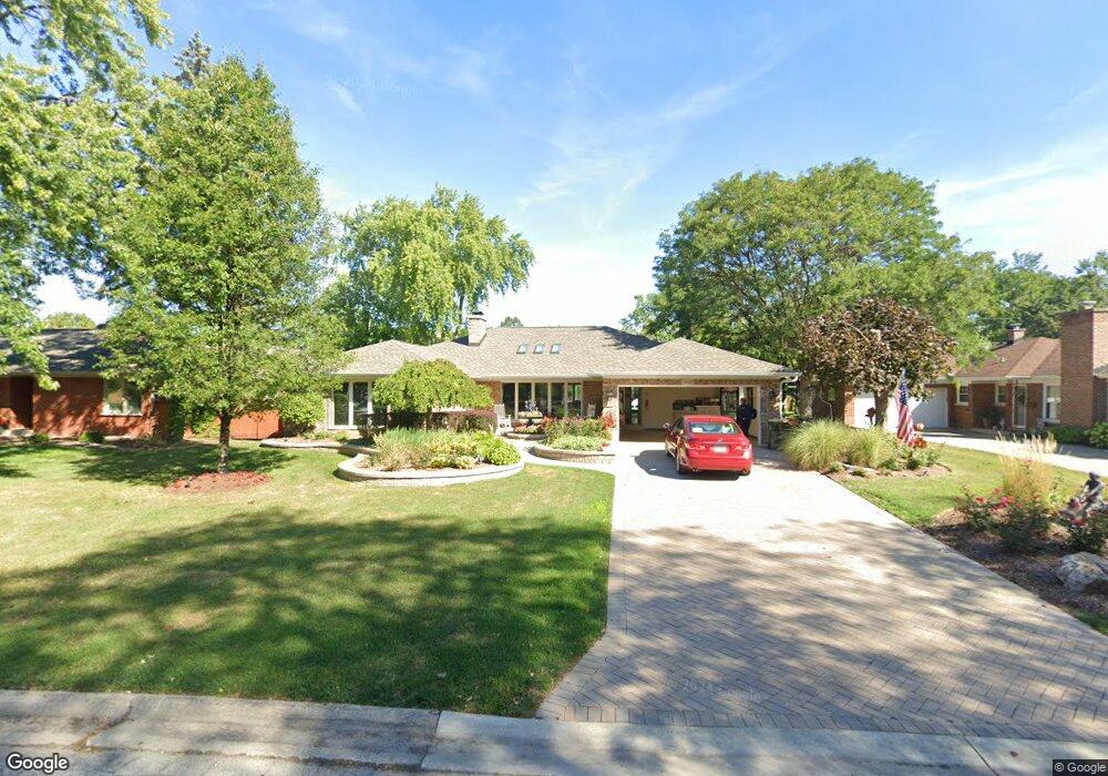
1922 De Cook Ave Park Ridge, IL 60068
Estimated Value: $630,000 - $810,612
4
Beds
3
Baths
2,966
Sq Ft
$251/Sq Ft
Est. Value
About This Home
This home is located at 1922 De Cook Ave, Park Ridge, IL 60068 and is currently estimated at $744,903, approximately $251 per square foot. 1922 De Cook Ave is a home located in Cook County with nearby schools including Franklin Elementary School, Emerson Middle School, and Maine East High School.
Ownership History
Date
Name
Owned For
Owner Type
Purchase Details
Closed on
Oct 2, 2000
Sold by
Kalbfleisch Pat
Bought by
Brogan Joseph and Brogan Ilyse M
Current Estimated Value
Home Financials for this Owner
Home Financials are based on the most recent Mortgage that was taken out on this home.
Original Mortgage
$252,500
Interest Rate
7.87%
Create a Home Valuation Report for This Property
The Home Valuation Report is an in-depth analysis detailing your home's value as well as a comparison with similar homes in the area
Home Values in the Area
Average Home Value in this Area
Purchase History
| Date | Buyer | Sale Price | Title Company |
|---|---|---|---|
| Brogan Joseph | $352,500 | -- |
Source: Public Records
Mortgage History
| Date | Status | Borrower | Loan Amount |
|---|---|---|---|
| Previous Owner | Brogan Joseph | $252,500 |
Source: Public Records
Tax History Compared to Growth
Tax History
| Year | Tax Paid | Tax Assessment Tax Assessment Total Assessment is a certain percentage of the fair market value that is determined by local assessors to be the total taxable value of land and additions on the property. | Land | Improvement |
|---|---|---|---|---|
| 2024 | $14,842 | $58,000 | $12,231 | $45,769 |
| 2023 | $14,194 | $58,000 | $12,231 | $45,769 |
| 2022 | $14,194 | $58,000 | $12,231 | $45,769 |
| 2021 | $15,372 | $53,873 | $9,784 | $44,089 |
| 2020 | $14,829 | $53,873 | $9,784 | $44,089 |
| 2019 | $14,883 | $60,532 | $9,784 | $50,748 |
| 2018 | $13,138 | $49,344 | $8,561 | $40,783 |
| 2017 | $13,099 | $49,344 | $8,561 | $40,783 |
| 2016 | $12,854 | $49,344 | $8,561 | $40,783 |
| 2015 | $13,344 | $45,887 | $7,032 | $38,855 |
| 2014 | $13,097 | $45,887 | $7,032 | $38,855 |
| 2013 | $12,388 | $45,887 | $7,032 | $38,855 |
Source: Public Records
Map
Nearby Homes
- 2200 Walnut St
- 8253 N Western Ave
- 1819 Glenview Ave
- 1712 Woodland Ave
- 8619 W Park Ln
- 1720 Greendale Ave
- 1710 Dempster St Unit A
- 1044 N Knight Ave
- 1035 N Dee Rd
- 8810 Briar Ct Unit 1B
- 1144 N Greenwood Ave
- 8846 Dee Rd Unit E
- 1316 N Northwest Hwy
- 8901 N Western Ave Unit A211
- 1025 N Knight Ave
- 1717 Oakton St
- 1815 Oakton St Unit 2A
- 1420 Oakton St
- 2308 Oakton St
- 8517 W Madison Dr
- 1912 De Cook Ave
- 1932 De Cook Ave
- 1902 De Cook Ave
- 1933 Burton Ln
- 1942 De Cook Ave Unit 2
- 1923 Burton Ln
- 1943 Burton Ln
- 1921 De Cook Ave
- 1921 De Cook Ave
- 1911 De Cook Ave
- 1892 De Cook Ave
- 1953 Burton Ln
- 1952 De Cook Ave
- 1901 De Cook Ave
- 1941 De Cook Ave
- 1903 Burton Ln
- 1903 Burton Ln
- 1963 Burton Ln
- 1891 De Cook Ave
- 1882 De Cook Ave