1922 Elizabeth Ln Unit 130 Jenison, MI 49428
Estimated Value: $187,000 - $213,000
1
Bed
1
Bath
894
Sq Ft
$221/Sq Ft
Est. Value
About This Home
This home is located at 1922 Elizabeth Ln Unit 130, Jenison, MI 49428 and is currently estimated at $197,871, approximately $221 per square foot. 1922 Elizabeth Ln Unit 130 is a home located in Ottawa County with nearby schools including Sandy Hill Elementary School, Jenison Junior High School, and Jenison High School.
Ownership History
Date
Name
Owned For
Owner Type
Purchase Details
Closed on
Sep 13, 2024
Sold by
Mildred A Wing Irrevocable Trust
Bought by
Brown Nicholas
Current Estimated Value
Home Financials for this Owner
Home Financials are based on the most recent Mortgage that was taken out on this home.
Original Mortgage
$10,000
Outstanding Balance
$9,888
Interest Rate
6.47%
Estimated Equity
$187,983
Purchase Details
Closed on
Sep 30, 2008
Sold by
Wing Mildred A
Bought by
Wing Mildred A and Mildred A Wing Irrevocable Tru
Purchase Details
Closed on
Feb 10, 2005
Sold by
Drenth Barbara and Steenstra Joann
Bought by
Wing Mildred
Home Financials for this Owner
Home Financials are based on the most recent Mortgage that was taken out on this home.
Original Mortgage
$75,600
Interest Rate
5.83%
Mortgage Type
Purchase Money Mortgage
Purchase Details
Closed on
May 30, 2002
Sold by
Steenstra Mary
Bought by
Drenth Barbara and Steenstra Joann
Create a Home Valuation Report for This Property
The Home Valuation Report is an in-depth analysis detailing your home's value as well as a comparison with similar homes in the area
Home Values in the Area
Average Home Value in this Area
Purchase History
| Date | Buyer | Sale Price | Title Company |
|---|---|---|---|
| Brown Nicholas | $180,000 | Ata National Title Group | |
| Wing Mildred A | -- | None Available | |
| Wing Mildred | $94,900 | Chicago Title Of Mi | |
| Drenth Barbara | -- | -- |
Source: Public Records
Mortgage History
| Date | Status | Borrower | Loan Amount |
|---|---|---|---|
| Open | Brown Nicholas | $10,000 | |
| Open | Brown Nicholas | $168,000 | |
| Previous Owner | Wing Mildred | $75,600 |
Source: Public Records
Tax History Compared to Growth
Tax History
| Year | Tax Paid | Tax Assessment Tax Assessment Total Assessment is a certain percentage of the fair market value that is determined by local assessors to be the total taxable value of land and additions on the property. | Land | Improvement |
|---|---|---|---|---|
| 2025 | $1,179 | $100,400 | $0 | $0 |
| 2024 | $1,023 | $91,000 | $0 | $0 |
| 2023 | $977 | $81,800 | $0 | $0 |
| 2022 | $1,072 | $69,400 | $0 | $0 |
| 2021 | $1,041 | $64,700 | $0 | $0 |
| 2020 | $1,030 | $62,700 | $0 | $0 |
| 2019 | $1,031 | $57,700 | $0 | $0 |
| 2018 | $961 | $51,500 | $0 | $0 |
| 2017 | $944 | $49,500 | $0 | $0 |
| 2016 | $939 | $46,300 | $0 | $0 |
| 2015 | $896 | $37,900 | $0 | $0 |
| 2014 | $896 | $36,800 | $0 | $0 |
Source: Public Records
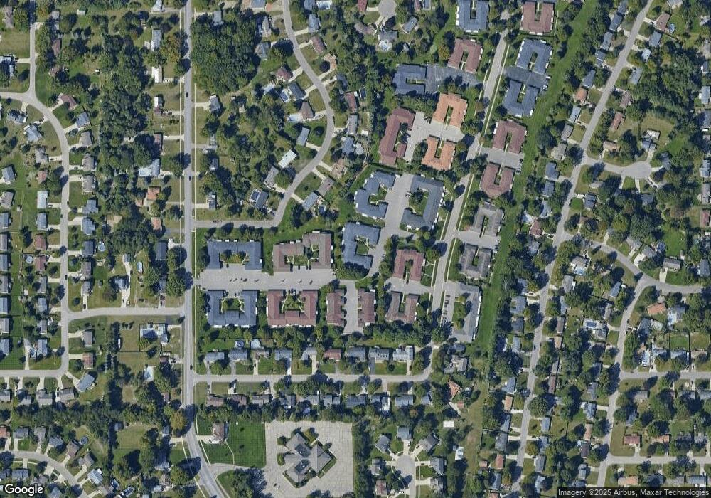
Map
Nearby Homes
- 7165 Keystone Ct
- 7314 Pinegrove Dr
- 7373 Pinegrove Dr Unit 109
- 2159 Tyler St
- 7342 Cherry Ave
- 7107 Westwood Dr
- 7461 Pinegrove Dr Unit 29
- 7444 Pinegrove Dr Unit 59
- 2101 Rosewood St
- 2194 Oak Hollow Dr
- 7445 Westwood Dr
- 7502 22nd Ave
- 2200 Rosewood St
- 7357 Coconut Dr
- 7425 Boulder Bluff Dr Unit 112
- 7523 Boulder Bluff Dr Unit 82
- 7450 Boulder Bluff Dr Unit 66
- 7450 Boulder Bluff Dr Unit 61
- 3205 Deer Haven Dr
- 1937 Mulberry Ln
- 1920 Elizabeth Ln Unit 129
- 1926 Elizabeth Ln Unit 132
- 1918 Elizabeth Ln Unit 128
- 1916 Elizabeth Ln Unit 127
- 1914 Elizabeth Ln
- 1916 Elizabeth Ln W Unit 127
- 1912 Elizabeth Ln
- 1908 Elizabeth Ln Unit 123
- 1906 Elizabeth Ln Unit 122
- 1910 Elizabeth Ln
- 1910 Elizabeth Ln Unit 124
- 1904 Elizabeth Ln
- 98 Elizabeth Ln
- 1921 Elizabeth Ln
- 1921 Elizabeth Ln Unit 120
- 1973 Pinegrove Dr
- 1919 Elizabeth Ln Unit 119
- 1915 Elizabeth Ln W Unit 117
- 1901 Elizabeth Ln W Unit 110
- 1894 Elizabeth Ln Unit 93