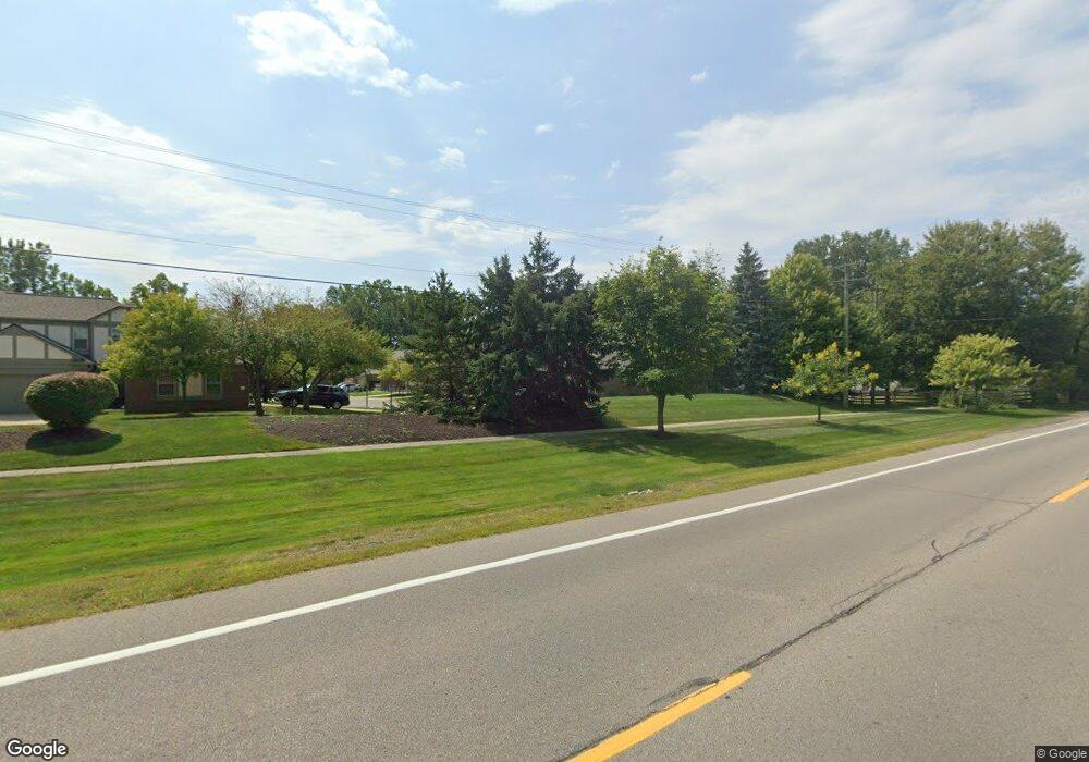
1922 Hawks Nest Ct Canton, MI 48188
Estimated Value: $291,242 - $306,000
--
Bed
3
Baths
1,387
Sq Ft
$216/Sq Ft
Est. Value
About This Home
This home is located at 1922 Hawks Nest Ct, Canton, MI 48188 and is currently estimated at $299,061, approximately $215 per square foot. 1922 Hawks Nest Ct is a home located in Wayne County with nearby schools including Canton High School, Salem High School, and Plymouth High School.
Ownership History
Date
Name
Owned For
Owner Type
Purchase Details
Closed on
Jan 20, 2021
Sold by
Ananthapadmanaban Idambaram and Chidambaram Neelambigai
Bought by
Moore Tonya D
Current Estimated Value
Home Financials for this Owner
Home Financials are based on the most recent Mortgage that was taken out on this home.
Original Mortgage
$196,278
Outstanding Balance
$175,179
Interest Rate
2.71%
Mortgage Type
FHA
Estimated Equity
$123,882
Purchase Details
Closed on
Aug 24, 2012
Sold by
Smith Paul L and Bremer Kimberly A
Bought by
Ananthapadmanaban Chidambaram and Chidambaram Neelambigai
Purchase Details
Closed on
Apr 27, 2012
Sold by
Smith Janice M
Bought by
Bremer Kimberly A
Create a Home Valuation Report for This Property
The Home Valuation Report is an in-depth analysis detailing your home's value as well as a comparison with similar homes in the area
Home Values in the Area
Average Home Value in this Area
Purchase History
| Date | Buyer | Sale Price | Title Company |
|---|---|---|---|
| Moore Tonya D | $199,900 | Fidelity National Title | |
| Moore Tonya D | $199,900 | None Listed On Document | |
| Ananthapadmanaban Chidambaram | $118,000 | Bankers Title Settlement Ser | |
| Bremer Kimberly A | -- | None Available |
Source: Public Records
Mortgage History
| Date | Status | Borrower | Loan Amount |
|---|---|---|---|
| Open | Moore Tonya D | $196,278 | |
| Closed | Moore Tonya D | $196,278 |
Source: Public Records
Tax History Compared to Growth
Tax History
| Year | Tax Paid | Tax Assessment Tax Assessment Total Assessment is a certain percentage of the fair market value that is determined by local assessors to be the total taxable value of land and additions on the property. | Land | Improvement |
|---|---|---|---|---|
| 2025 | $1,975 | $133,700 | $0 | $0 |
| 2024 | $1,975 | $112,800 | $0 | $0 |
| 2023 | $1,883 | $107,600 | $0 | $0 |
| 2022 | $4,141 | $99,300 | $0 | $0 |
| 2021 | $2,783 | $96,900 | $0 | $0 |
| 2020 | $4,533 | $94,900 | $0 | $0 |
| 2019 | $4,486 | $90,190 | $0 | $0 |
| 2018 | $2,209 | $87,580 | $0 | $0 |
| 2017 | $4,185 | $83,900 | $0 | $0 |
| 2016 | $4,264 | $84,700 | $0 | $0 |
| 2015 | $5,973 | $74,780 | $0 | $0 |
| 2013 | $5,786 | $60,290 | $0 | $0 |
| 2010 | -- | $62,140 | $31,000 | $31,140 |
Source: Public Records
Map
Nearby Homes
- 41481 Cumberland Dr
- 41441 Cumberland Dr
- 41928 Old Bridge Rd
- 2006 S Lilley Rd
- 2435 S Haggerty Rd
- 2340 S Lilley Rd
- 1803 Pinecroft Dr Unit 171
- 2322 Arcadia Dr Unit 254
- 40488 Glen Eagle Ln Unit 75
- 1530 Fairfax Dr
- 42272 Beechwood Ct
- 42384 Beechwood Ct
- 2855 Tall Oak Ln
- 41567 SiMcOe Dr
- 2942 Tall Oak Ln
- 1834 Maple Park Dr W Unit 9
- 000 S Lotz Rd
- 2098 Preserve Cir W Unit 80
- 41191 Southwind Dr
- 41270 Southwind Dr Unit 99
- 1922 Hawks Nest Ct Unit 58
- 1994 Hawks Nest Ct
- 1994 Hawks Nest Ct Unit 54
- 2008 Hawks Nest Ct Unit 53
- 2024 Hawks Nest Ct Unit 52
- 1914 Hawks Nest Ct
- 2040 Hawks Nest Ct
- 1944 Hawks Nest Ct
- 1944 Hawks Nest Ct Unit 56
- 1993 Hawks Nest Ct
- 2011 Hawks Nest Ct
- 1957 Hawks Nest Ct Unit 47
- 1975 Hawks Nest Ct Unit 48
- 1936 Hawks Nest Ct
- 41553 Palmer Rd
- 1939 Hawks Nest Ct
- 1982 Hawks Nest Ct
- 1903 Hawks Nest Ct Unit 45
- 1903 Hawks Nest Ct
- 1903 Hawks Nest Ct Unit 9, 45