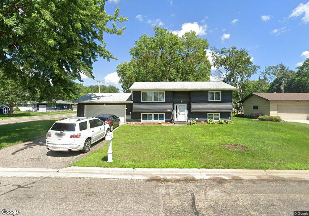
1922 Keystone Dr Albert Lea, MN 56007
Estimated Value: $203,000 - $240,000
4
Beds
2
Baths
1,010
Sq Ft
$220/Sq Ft
Est. Value
About This Home
This home is located at 1922 Keystone Dr, Albert Lea, MN 56007 and is currently estimated at $221,796, approximately $219 per square foot. 1922 Keystone Dr is a home located in Freeborn County with nearby schools including Hawthorne Elementary School, Southwest Middle School, and Albert Lea Senior High School.
Ownership History
Date
Name
Owned For
Owner Type
Purchase Details
Closed on
May 6, 2021
Sold by
Christensen Sheryl L
Bought by
Christensen Sheryl L and Christensen Francis Richad
Current Estimated Value
Home Financials for this Owner
Home Financials are based on the most recent Mortgage that was taken out on this home.
Original Mortgage
$133,496
Interest Rate
2.96%
Mortgage Type
FHA
Purchase Details
Closed on
Nov 16, 2019
Sold by
Espinosa Sandra Sandra
Bought by
Christensen Sheryl Sheryl
Home Financials for this Owner
Home Financials are based on the most recent Mortgage that was taken out on this home.
Interest Rate
3.75%
Create a Home Valuation Report for This Property
The Home Valuation Report is an in-depth analysis detailing your home's value as well as a comparison with similar homes in the area
Home Values in the Area
Average Home Value in this Area
Purchase History
| Date | Buyer | Sale Price | Title Company |
|---|---|---|---|
| Christensen Sheryl L | -- | None Available | |
| Christensen Sheryl Sheryl | $50,000 | -- |
Source: Public Records
Mortgage History
| Date | Status | Borrower | Loan Amount |
|---|---|---|---|
| Previous Owner | Christensen Sheryl L | $133,496 | |
| Previous Owner | Christensen Sheryl Sheryl | -- |
Source: Public Records
Tax History
| Year | Tax Paid | Tax Assessment Tax Assessment Total Assessment is a certain percentage of the fair market value that is determined by local assessors to be the total taxable value of land and additions on the property. | Land | Improvement |
|---|---|---|---|---|
| 2025 | $2,526 | $200,000 | $17,500 | $182,500 |
| 2024 | $2,462 | $185,700 | $17,500 | $168,200 |
| 2023 | $2,652 | $178,400 | $17,500 | $160,900 |
| 2022 | $2,142 | $190,700 | $17,500 | $173,200 |
| 2021 | $1,816 | $140,200 | $17,500 | $122,700 |
| 2020 | $1,774 | $120,200 | $21,000 | $99,200 |
| 2019 | $1,560 | $110,100 | $19,300 | $90,800 |
| 2018 | $1,472 | $0 | $0 | $0 |
| 2016 | $1,448 | $0 | $0 | $0 |
| 2015 | $1,808 | $0 | $0 | $0 |
| 2014 | $1,780 | $0 | $0 | $0 |
| 2012 | $1,654 | $0 | $0 | $0 |
Source: Public Records
Map
Nearby Homes
- 705 Glenview Dr
- 2021 Bridge Ave
- 2141 Harmony Ave
- 1626 Keystone Dr
- 1609 Keystone Dr
- 1612 Hale Dr
- 1808 Lakewood Ave
- 1117 Eastgate Rd
- 307 E Richway Dr
- xxx Hi Tec Ave
- 103 W Richway Dr
- 1902 Brookside Dr
- TBD Bridgeport Subdivision
- 1106 Foothills Cir
- 1807 Brookside Dr
- XXXX Bridge Ave N
- 1814 Brookside Cir
- 415 E Hawthorne St
- 1306 Crestview Rd
- 406 Robin Rd
- 1918 Keystone Dr
- 1921 Grand Ave
- 1917 Grand Ave
- 1914 Keystone Dr
- 2001 Grand Ave
- 1921 Keystone Dr
- 1917 Keystone Dr
- 1913 Grand Ave
- 1910 Keystone Dr
- 2005 Grand Ave
- 1913 Keystone Dr
- 1909 Grand Ave
- 2011 Grand Ave
- 1909 Keystone Dr
- 1922 Grand Ave
- 1906 Keystone Dr
- 1918 Grand Ave
- 2002 Grand Ave
- 1905 Grand Ave
- 1914 Grand Ave
Your Personal Tour Guide
Ask me questions while you tour the home.