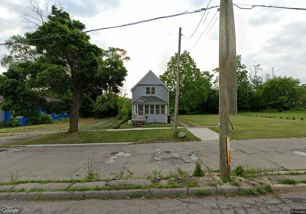
1922 Lewis St Flint, MI 48506
Eastside NeighborhoodEstimated Value: $38,000 - $54,000
4
Beds
1
Bath
1,204
Sq Ft
$39/Sq Ft
Est. Value
About This Home
This home is located at 1922 Lewis St, Flint, MI 48506 and is currently estimated at $47,482, approximately $39 per square foot. 1922 Lewis St is a home located in Genesee County with nearby schools including Potter School, Flint Cultural Center Academy, and WAY Academy of Flint.
Ownership History
Date
Name
Owned For
Owner Type
Purchase Details
Closed on
Sep 22, 2021
Sold by
Genesee County Land Bank Authority
Bought by
Primeau Norman Allen
Current Estimated Value
Purchase Details
Closed on
Dec 19, 2019
Sold by
Genesee County Treasurer
Bought by
Genesee County Land Bank Authority
Purchase Details
Closed on
Sep 4, 2004
Sold by
Witak Walter and Witak Elizabeth
Bought by
Adams Roger R and Reidell Patricia A
Purchase Details
Closed on
Dec 21, 1993
Sold by
Thomas Caroline Burns
Bought by
Witak Walter and Witak Elizabeth M
Create a Home Valuation Report for This Property
The Home Valuation Report is an in-depth analysis detailing your home's value as well as a comparison with similar homes in the area
Home Values in the Area
Average Home Value in this Area
Purchase History
| Date | Buyer | Sale Price | Title Company |
|---|---|---|---|
| Primeau Norman Allen | $3,500 | None Available | |
| Genesee County Land Bank Authority | -- | None Available | |
| Adams Roger R | $16,000 | -- | |
| Witak Walter | $1,000 | First American Title Ins Co |
Source: Public Records
Tax History Compared to Growth
Tax History
| Year | Tax Paid | Tax Assessment Tax Assessment Total Assessment is a certain percentage of the fair market value that is determined by local assessors to be the total taxable value of land and additions on the property. | Land | Improvement |
|---|---|---|---|---|
| 2025 | $829 | $14,100 | $0 | $0 |
| 2024 | $756 | $13,800 | $0 | $0 |
| 2023 | $746 | $11,800 | $0 | $0 |
| 2022 | $0 | $9,600 | $0 | $0 |
| 2021 | $0 | $0 | $0 | $0 |
| 2020 | $268 | $0 | $0 | $0 |
| 2019 | $493 | $7,200 | $0 | $0 |
| 2018 | $939 | $5,800 | $0 | $0 |
| 2017 | $600 | $0 | $0 | $0 |
| 2016 | $448 | $0 | $0 | $0 |
| 2015 | -- | $0 | $0 | $0 |
| 2014 | -- | $0 | $0 | $0 |
| 2012 | -- | $4,700 | $0 | $0 |
Source: Public Records
Map
Nearby Homes
- 1529 Broadway Blvd
- 1273 Broadway Blvd
- 1215 Bennett Ave
- 1513 Jane Ave
- 1449 New York Ave
- 1379 Washington Ave
- 1454 Delaware Ave
- 1622 New York Ave
- 1629 New York Ave
- 1805 Bennett Ave
- 1445 Maryland Ave
- 1814 Mabel Ave
- 1644 Pennsylvania Ave
- 1721 New York Ave
- 1318 Cronk Ave
- 2225 Arlington Ave
- 1518 Leith St
- 1622 Arlington Ave
- 1501 Arlington Ave
- 1526 Montana Ave
- 1918 Lewis St
- 1414 Broadway Blvd
- 1412 Broadway Blvd
- 1910 Lewis St
- 1417 Davison Rd
- 1405 Davison Rd
- 1421 Davison Rd
- 2002 Lewis St
- 1356 Broadway Blvd
- 1415 Broadway Blvd
- 1422 Broadway Blvd
- 1427 Davison Rd
- 1425 Broadway Blvd
- 1354 Broadway Blvd
- 1355 Davison Rd
- 1410 Davison Rd
- 1442 Broadway Blvd
- 1351 Davison Rd
- 2022 Lewis St
- 1441 Broadway Blvd