1922 Lopez Way Point Roberts, WA 98281
Estimated Value: $454,437 - $610,000
2
Beds
2
Baths
1,540
Sq Ft
$335/Sq Ft
Est. Value
About This Home
This home is located at 1922 Lopez Way, Point Roberts, WA 98281 and is currently estimated at $515,359, approximately $334 per square foot. 1922 Lopez Way is a home located in Whatcom County with nearby schools including Point Roberts Primary School, Blaine Middle School, and Blaine High School.
Ownership History
Date
Name
Owned For
Owner Type
Purchase Details
Closed on
May 16, 2017
Sold by
Richardson Kara and Richardson Jeffrey Roy Malachi
Bought by
Kara Richardson Family Revocable Living and Richardson Kara
Current Estimated Value
Purchase Details
Closed on
Oct 27, 2008
Sold by
Richardson Kara
Bought by
Richardson Kara and Richardson Jeffrey Roy Malachi
Purchase Details
Closed on
May 31, 2006
Sold by
Lamont Gordon and Lamont Lori
Bought by
Richardson Kara
Purchase Details
Closed on
May 26, 2006
Sold by
Richardson Darren
Bought by
Richardson Kara
Create a Home Valuation Report for This Property
The Home Valuation Report is an in-depth analysis detailing your home's value as well as a comparison with similar homes in the area
Home Values in the Area
Average Home Value in this Area
Purchase History
| Date | Buyer | Sale Price | Title Company |
|---|---|---|---|
| Kara Richardson Family Revocable Living | -- | None Available | |
| Richardson Kara | -- | None Available | |
| Richardson Kara | $110,280 | Whatcom Land Title | |
| Richardson Kara | -- | Whatcom Land Title |
Source: Public Records
Tax History Compared to Growth
Tax History
| Year | Tax Paid | Tax Assessment Tax Assessment Total Assessment is a certain percentage of the fair market value that is determined by local assessors to be the total taxable value of land and additions on the property. | Land | Improvement |
|---|---|---|---|---|
| 2024 | $3,279 | $412,156 | $126,473 | $285,683 |
| 2023 | $3,279 | $400,658 | $114,975 | $285,683 |
| 2022 | $3,533 | $365,898 | $105,000 | $260,898 |
| 2021 | $3,518 | $361,215 | $100,320 | $260,895 |
| 2020 | $3,499 | $334,454 | $92,888 | $241,566 |
| 2019 | $3,239 | $320,816 | $89,100 | $231,716 |
| 2018 | $3,166 | $288,410 | $80,100 | $208,310 |
| 2017 | $2,744 | $275,448 | $76,500 | $198,948 |
| 2016 | $2,975 | $270,047 | $75,000 | $195,047 |
| 2015 | $3,164 | $284,687 | $77,288 | $207,399 |
| 2014 | -- | $297,617 | $80,800 | $216,817 |
| 2013 | -- | $284,503 | $77,600 | $206,903 |
Source: Public Records
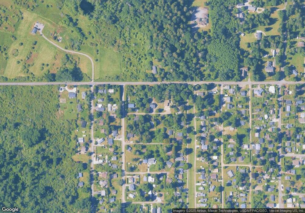
Map
Nearby Homes
- 1927 Orcas View Way
- 1920 Patos Way
- 634 S Beach Rd
- 1911 Apa Rd
- 661 Driftwood Ln
- 1940 Apa Rd
- 1934 Waters Rd
- 1881 Edwards Dr
- 698 Kendor Dr
- 0 6 39 Acres South Beach Rd
- 675 Sylvia Dr
- 1976 Cedar Park Dr
- lot 14 Cedar Park Dr Unit 14
- 2 Benson Rd
- 2045 Apa Rd
- Lot 2 Greenwood Dr
- Lot 3 Edwards Dr
- 19 Harbor Seal Dr
- 8 Heather Way
- 1587 Harbor Seal Dr
- 0 Lot 70 Lopez Way
- 1930 Lopez Way
- 1921 Lopez Way
- 1910 Lopez Way
- 1823 Lopez Way
- 624 Largaud Dr
- 619 Bells Grove
- 615 Bells Grove
- 0 Apa-Lot 2 Rd Unit NWM2170313
- 613 Bells Grove
- 1920 Orcas Way
- 0 Apa-Lot 1 Rd Unit NWM2170305
- 1934 Orcas Way
- 636 Largaud Dr
- 619 Largaud Dr
- 615 Largaud Dr
- 1795 Apa Rd
- 635 Bells Grove
- 1931 Orcas Way
- 639 Bells Grove