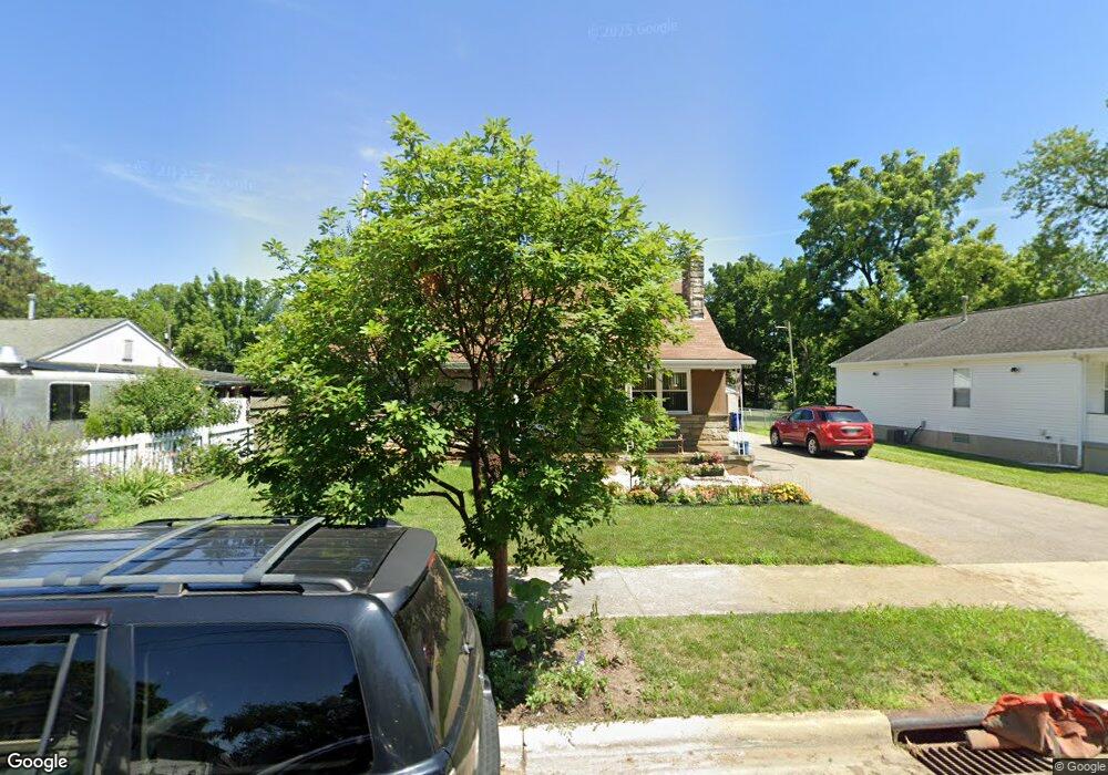
1922 Minnesota Ave Columbus, OH 43211
East Linden NeighborhoodEstimated Value: $181,000 - $199,000
4
Beds
2
Baths
1,350
Sq Ft
$140/Sq Ft
Est. Value
About This Home
This home is located at 1922 Minnesota Ave, Columbus, OH 43211 and is currently estimated at $189,652, approximately $140 per square foot. 1922 Minnesota Ave is a home located in Franklin County with nearby schools including Linden STEM Academy (K-6), Linden-Mckinley Stem School On Arcadia, and Focus Learning Academy of Central Columbus.
Ownership History
Date
Name
Owned For
Owner Type
Purchase Details
Closed on
Mar 30, 1998
Sold by
Erfurt Edward W and Intervivos Trust Of Beatrice N
Bought by
Greater Columbus Habitat For Humanity
Current Estimated Value
Purchase Details
Closed on
Jan 31, 1978
Bought by
Yorde Robert J
Create a Home Valuation Report for This Property
The Home Valuation Report is an in-depth analysis detailing your home's value as well as a comparison with similar homes in the area
Home Values in the Area
Average Home Value in this Area
Purchase History
| Date | Buyer | Sale Price | Title Company |
|---|---|---|---|
| Greater Columbus Habitat For Humanity | -- | -- | |
| Yorde Robert J | $26,000 | -- |
Source: Public Records
Tax History Compared to Growth
Tax History
| Year | Tax Paid | Tax Assessment Tax Assessment Total Assessment is a certain percentage of the fair market value that is determined by local assessors to be the total taxable value of land and additions on the property. | Land | Improvement |
|---|---|---|---|---|
| 2024 | $1,916 | $52,500 | $10,570 | $41,930 |
| 2023 | $1,920 | $52,500 | $10,570 | $41,930 |
| 2022 | $601 | $20,340 | $3,500 | $16,840 |
| 2021 | $602 | $20,340 | $3,500 | $16,840 |
| 2020 | $1,058 | $20,340 | $3,500 | $16,840 |
| 2019 | $1,041 | $17,160 | $3,050 | $14,110 |
| 2018 | $1,139 | $17,160 | $3,050 | $14,110 |
| 2017 | $1,203 | $17,160 | $3,050 | $14,110 |
| 2016 | $1,366 | $20,620 | $3,260 | $17,360 |
| 2015 | $1,240 | $20,620 | $3,260 | $17,360 |
| 2014 | $1,243 | $20,620 | $3,260 | $17,360 |
| 2013 | $720 | $24,220 | $3,815 | $20,405 |
Source: Public Records
Map
Nearby Homes
- 1985 Aberdeen Ave
- 1967 Denune Ave
- 1995 Minnesota Ave
- 2480 Parkwood Ave
- 2096 Minnesota Ave
- 00 Minnesota Ave
- 01 Minnesota Ave
- 1326 Minnesota Ave
- 1938 Myrtle Ave
- 2055 Earl Ave
- 2765 Joyce Ave
- 2771 Fern Ave
- 2585 Perdue Ave
- 1799 Harold Place
- 1853 E Lakeview Ave
- 1691 E Weber Rd
- 1669 Manchester Ave
- 2040 Loretta Ave
- 1864 E Hudson St
- 2810 Baughman Ave
- 1930 Minnesota Ave
- 1916 Minnesota Ave
- 1940 Minnesota Ave
- 1908 Minnesota Ave
- 1944 Minnesota Ave
- 0 Minnesota Ave
- 1925 Minnesota Ave
- 1915 Minnesota Ave
- 1931 Minnesota Ave
- 1902 Minnesota Ave
- 0 Minnesota Ave
- 1935 Minnesota Ave
- 1948 Minnesota Ave
- 1905 Minnesota Ave
- 1941 Minnesota Ave
- 1899 Minnesota Ave
- 1894 Minnesota Ave
- 1954 Minnesota Ave
- 1947 Minnesota Ave
- 1893 Minnesota Ave