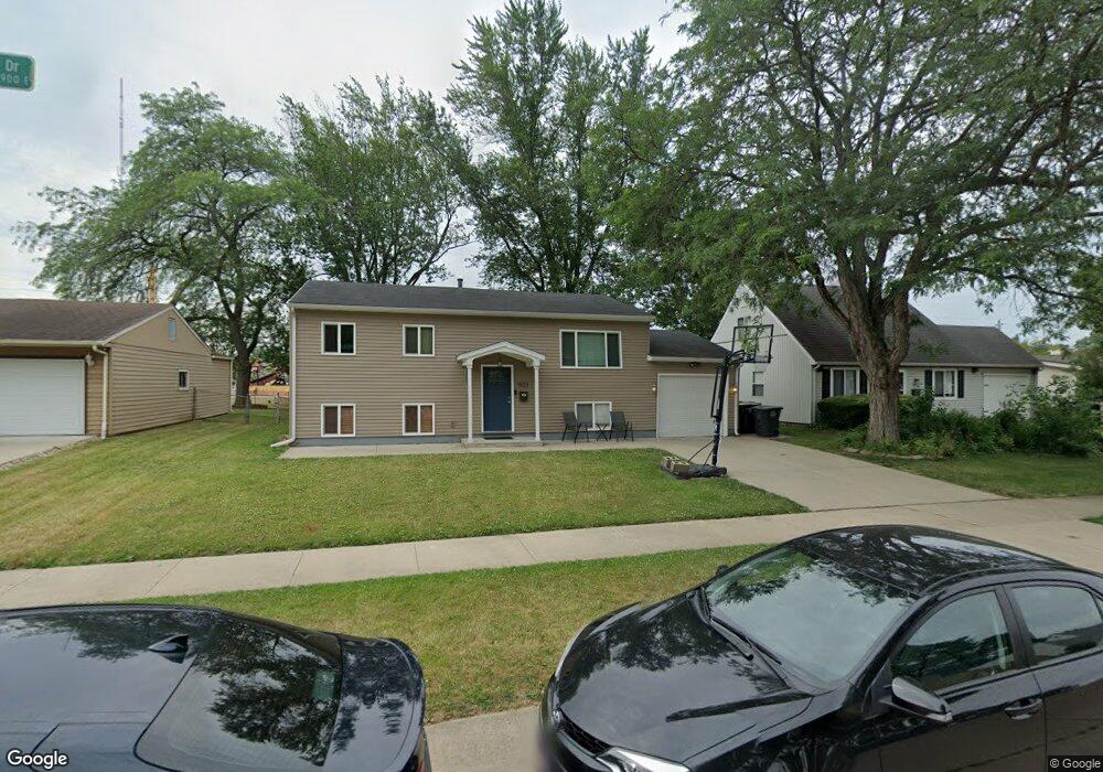
1922 Renfrew Dr South Bend, IN 46614
Scottsdale NeighborhoodEstimated Value: $211,000 - $230,000
3
Beds
2
Baths
1,728
Sq Ft
$128/Sq Ft
Est. Value
About This Home
This home is located at 1922 Renfrew Dr, South Bend, IN 46614 and is currently estimated at $221,519, approximately $128 per square foot. 1922 Renfrew Dr is a home located in St. Joseph County with nearby schools including Marshall Traditional School, Hay Elementary School, and Clay Intermediate Center.
Ownership History
Date
Name
Owned For
Owner Type
Purchase Details
Closed on
Nov 1, 2019
Sold by
Dennig Brian and Dennig Erin
Bought by
Dennig Brian D and Dennig Erin
Current Estimated Value
Home Financials for this Owner
Home Financials are based on the most recent Mortgage that was taken out on this home.
Original Mortgage
$100,122
Interest Rate
3.75%
Mortgage Type
FHA
Create a Home Valuation Report for This Property
The Home Valuation Report is an in-depth analysis detailing your home's value as well as a comparison with similar homes in the area
Home Values in the Area
Average Home Value in this Area
Purchase History
| Date | Buyer | Sale Price | Title Company |
|---|---|---|---|
| Dennig Brian D | -- | Near North Title Group |
Source: Public Records
Mortgage History
| Date | Status | Borrower | Loan Amount |
|---|---|---|---|
| Closed | Dennig Brian D | $100,122 |
Source: Public Records
Tax History Compared to Growth
Tax History
| Year | Tax Paid | Tax Assessment Tax Assessment Total Assessment is a certain percentage of the fair market value that is determined by local assessors to be the total taxable value of land and additions on the property. | Land | Improvement |
|---|---|---|---|---|
| 2024 | $1,909 | $183,600 | $37,600 | $146,000 |
| 2023 | $1,861 | $158,700 | $37,600 | $121,100 |
| 2022 | $1,904 | $158,700 | $37,600 | $121,100 |
| 2021 | $1,538 | $129,500 | $18,500 | $111,000 |
| 2020 | $1,319 | $112,100 | $16,400 | $95,700 |
| 2019 | $1,202 | $116,700 | $15,900 | $100,800 |
| 2018 | $1,146 | $96,900 | $13,200 | $83,700 |
| 2017 | $1,164 | $96,100 | $13,200 | $82,900 |
| 2016 | $1,181 | $96,100 | $13,200 | $82,900 |
| 2014 | $1,017 | $86,700 | $11,000 | $75,700 |
Source: Public Records
Map
Nearby Homes
- 1951 Broadford Dr
- 1957 Broadford Dr
- 1725 Thornhill Dr
- 1719 Thornhill Dr
- 1515 Strathmore Ct
- 4909 Selkirk Dr
- 4555 Macdougall Ct
- 1834 Saint Michaels Ct
- 17746 Hartman St
- 1413 Orkney Ct
- 1512 Oakdale Dr
- 1426 Oakdale Dr
- 4312 Sampson St
- 5653 Danbury Dr
- 60506 Woodstock Dr
- 5912 York Rd
- 5434 Raleigh Dr
- 5541 Deer Hollow Dr
- 4039 Coral Dr
- 5173 Finch Dr
- 1916 Renfrew Dr
- 1928 Renfrew Dr
- 1934 Renfrew Dr
- 1910 Renfrew Dr
- 5023 Kirkshire Dr
- 1940 Renfrew Dr
- 1902 Renfrew Dr
- 5022 Kirkshire Dr
- 1909 Renfrew Dr
- 1937 Renfrew Dr
- 5026 Blackford Dr E
- 1864 Renfrew Dr
- 5015 Kirkshire Dr
- 1943 Renfrew Dr
- 5014 Kirkshire Dr
- 1952 Renfrew Dr
- 5018 Blackford Dr E
- 1936 Broadford Dr
- 1858 Renfrew Dr
- 1949 Renfrew Dr