1922 S Mannheim Rd West Chester, IL 60154
--
Bed
--
Bath
--
Sq Ft
0.6
Acres
About This Home
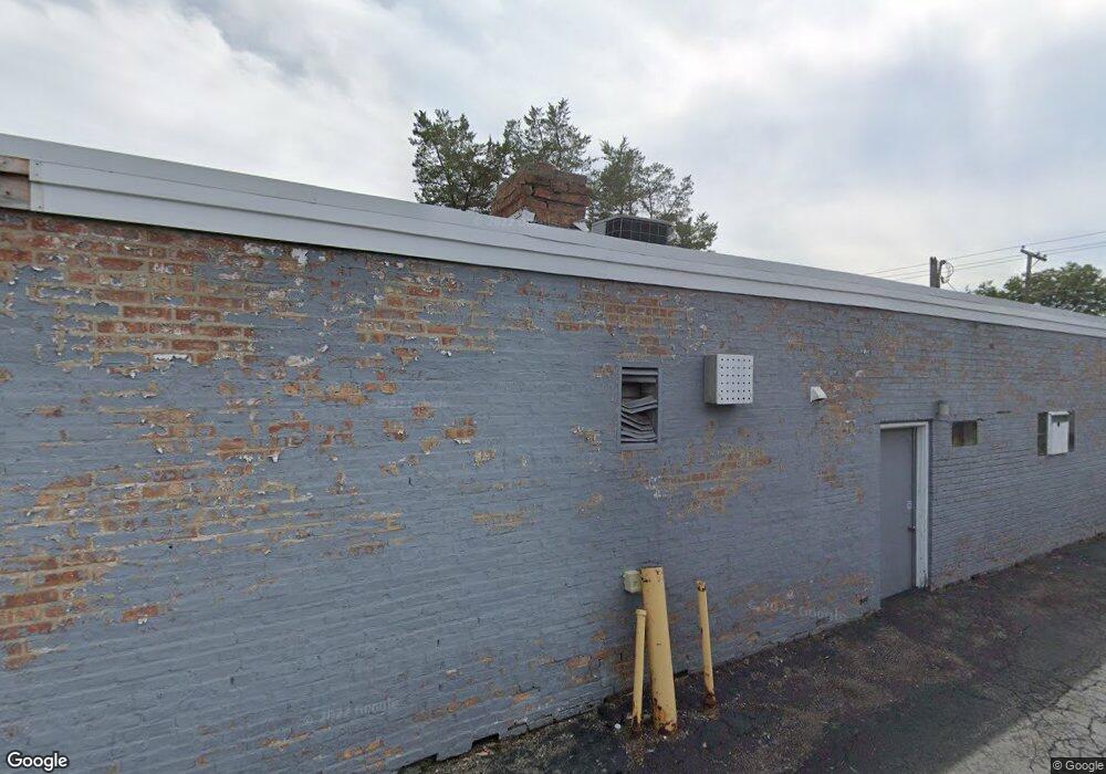
This home is located at 1922 S Mannheim Rd, West Chester, IL 60154. 1922 S Mannheim Rd is a home located in Cook County with nearby schools including Westchester Primary School, Westchester Intermediate School, and Westchester Middle School.
Ownership History
Date
Name
Owned For
Owner Type
Purchase Details
Closed on
Oct 16, 2023
Sold by
Katris Demetrios
Bought by
Demetrios Katris And Georgia Katris Revocable and Katris
Purchase Details
Closed on
May 17, 2023
Sold by
Reveliotis Nick
Bought by
Reveliotis Family Joint Revocable Declaration
Purchase Details
Closed on
Mar 3, 2023
Sold by
Katris Anastasios
Bought by
Anastasios Katris and Anastasios Panagiota Katris
Purchase Details
Closed on
Aug 24, 2007
Sold by
Chicago Title Land Trust Co
Bought by
Reveliotis Nick and Katris Demetrios
Home Financials for this Owner
Home Financials are based on the most recent Mortgage that was taken out on this home.
Original Mortgage
$105,600
Interest Rate
7.05%
Mortgage Type
Commercial
Create a Home Valuation Report for This Property
The Home Valuation Report is an in-depth analysis detailing your home's value as well as a comparison with similar homes in the area
Home Values in the Area
Average Home Value in this Area
Purchase History
| Date | Buyer | Sale Price | Title Company |
|---|---|---|---|
| Demetrios Katris And Georgia Katris Revocable | -- | First American Title | |
| Reveliotis Family Joint Revocable Declaration | -- | None Listed On Document | |
| Anastasios Katris | -- | Attorneys Title Guaranty Fund | |
| Reveliotis Nick | $132,000 | Chicago Title Land Trust Co |
Source: Public Records
Mortgage History
| Date | Status | Borrower | Loan Amount |
|---|---|---|---|
| Previous Owner | Reveliotis Nick | $105,600 |
Source: Public Records
Tax History Compared to Growth
Tax History
| Year | Tax Paid | Tax Assessment Tax Assessment Total Assessment is a certain percentage of the fair market value that is determined by local assessors to be the total taxable value of land and additions on the property. | Land | Improvement |
|---|---|---|---|---|
| 2024 | $2,456 | $9,357 | $9,188 | $169 |
| 2023 | $2,917 | $9,357 | $9,188 | $169 |
| 2022 | $2,917 | $9,561 | $9,188 | $373 |
| 2021 | $2,779 | $9,410 | $9,187 | $223 |
| 2020 | $2,698 | $9,352 | $9,187 | $165 |
| 2019 | $2,144 | $7,590 | $7,218 | $372 |
| 2018 | $2,033 | $7,292 | $7,218 | $74 |
| 2017 | $1,994 | $7,292 | $7,218 | $74 |
| 2016 | $2,031 | $6,964 | $6,890 | $74 |
| 2015 | $2,005 | $6,964 | $6,890 | $74 |
| 2014 | $1,959 | $6,964 | $6,890 | $74 |
| 2013 | $1,751 | $6,964 | $6,890 | $74 |
Source: Public Records
Map
Nearby Homes
- 1908 Belleview Ave
- 10461 Dorchester St
- 1803 Balmoral Ave
- 10324 Wight St
- 1921 Buckingham Ave
- 1860 Buckingham Ave
- 10630 W Cermak Rd Unit 2E
- 1811 Downing Ave
- 10567 Waterford Dr
- 1847 Newcastle Ave
- 10531 Camelot St
- 2205 Mayfair Ave
- 2230 Kensington Ave
- 10524 Camelot St
- 1907 Suffolk Ave
- 10610 Essex St
- 2337 Kensington Ave
- 1900 Manchester Ave
- 10511 Preston St
- 1816 Manchester Ave
- 1920 S Mannheim Rd
- 1921 Belleview Ave
- 1915 Belleview Ave
- 1925 Belleview Ave
- 1905 S Mannheim Rd
- 1937 S Mannheim Rd
- 1907 S Mannheim Rd
- 1909 Belleview Ave
- 1929 Belleview Ave
- 1938 S Mannheim Rd
- 1905 Belleview Ave
- 1926 S Mannheim Rd
- 1929 S Mannheim Rd
- 1935 Belleview Ave
- 1867 Belleview Ave
- 1901 S Mannheim Rd
- 1925 S Mannheim Rd
- 1941 Belleview Ave
- 1939 S Mannheim Rd
- 1863 Belleview Ave