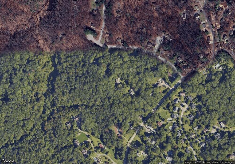
1922 Severn Grove Rd Annapolis, MD 21401
Parole NeighborhoodEstimated Value: $822,000 - $1,041,000
--
Bed
4
Baths
2,852
Sq Ft
$327/Sq Ft
Est. Value
About This Home
This home is located at 1922 Severn Grove Rd, Annapolis, MD 21401 and is currently estimated at $933,923, approximately $327 per square foot. 1922 Severn Grove Rd is a home located in Anne Arundel County with nearby schools including Rolling Knolls Elementary School, Wiley H. Bates Middle School, and Annapolis High School.
Ownership History
Date
Name
Owned For
Owner Type
Purchase Details
Closed on
Feb 6, 2024
Sold by
Bradpiece Bernard and Wells Cynthia
Bought by
Bernard Bradpiece and Bernard Cynthia Louise
Current Estimated Value
Purchase Details
Closed on
Dec 23, 1999
Sold by
Wynstone Development Llc
Bought by
Bradpiece Bernard and Wells Cynthia
Purchase Details
Closed on
Nov 8, 1999
Sold by
Wynstone Developement Llc
Bought by
Cairns Fran
Create a Home Valuation Report for This Property
The Home Valuation Report is an in-depth analysis detailing your home's value as well as a comparison with similar homes in the area
Home Values in the Area
Average Home Value in this Area
Purchase History
| Date | Buyer | Sale Price | Title Company |
|---|---|---|---|
| Bernard Bradpiece | -- | None Listed On Document | |
| Bernard Bradpiece | -- | None Listed On Document | |
| Bradpiece Bernard | $380,683 | -- | |
| Cairns Fran | $372,840 | -- |
Source: Public Records
Tax History Compared to Growth
Tax History
| Year | Tax Paid | Tax Assessment Tax Assessment Total Assessment is a certain percentage of the fair market value that is determined by local assessors to be the total taxable value of land and additions on the property. | Land | Improvement |
|---|---|---|---|---|
| 2025 | $6,335 | $662,100 | $255,100 | $407,000 |
| 2024 | $6,335 | $627,500 | $0 | $0 |
| 2023 | $5,678 | $592,900 | $0 | $0 |
| 2022 | $5,735 | $558,300 | $255,100 | $303,200 |
| 2021 | $11,287 | $558,300 | $255,100 | $303,200 |
| 2020 | $5,515 | $558,300 | $255,100 | $303,200 |
| 2019 | $5,451 | $575,500 | $275,100 | $300,400 |
| 2018 | $5,836 | $575,500 | $275,100 | $300,400 |
| 2017 | $5,148 | $575,500 | $0 | $0 |
| 2016 | -- | $616,700 | $0 | $0 |
| 2015 | -- | $582,900 | $0 | $0 |
| 2014 | -- | $549,100 | $0 | $0 |
Source: Public Records
Map
Nearby Homes
- 553 Choptank Cove Ct
- 1974 Scotts Crossing Way
- 4 Roosevelt Dr
- 1737 Point no Point Dr
- 2000 Monticello Dr
- 2000 Phillips Terrace Unit 4
- 2075 Old Admiral Ct
- 668 N Bestgate Rd
- 343 Dubois Rd
- 341 Dubois Rd
- 522 Epping Forest Rd
- 2026 Gov Thomas Bladen Way Unit 102
- 2026 Gov Thomas Bladen Way Unit 203
- 336 Epping Way
- 1868 Lynnfield Dr
- 319 Epping Way
- 228 Dubois Rd
- 1715 Porters Hill Rd
- 357 Overlook Trail
- 2175 Glencrest Cir
- 115 Kingswood Rd
- 1924 Severn Grove Rd
- 109 Kingswood Rd
- 113 Kingswood Rd
- 119 Kingswood Rd
- 1920 Severn Grove Rd
- 105 Kingswood Rd
- 1930 Severn Grove Rd
- 1916 Severn Grove Rd
- 114 Kingswood Rd
- 1936 Severn Grove Rd
- 112 Lancaster Ct
- 116 Kingswood Rd
- 101 Kingswood Rd
- 208 Kirchner Ct
- 1906 Manor Grove Rd
- 104 Kingswood Rd
- 1952 Severn Grove Rd
- 1942 Severn Grove Rd
- 1933 Severn Grove Rd
