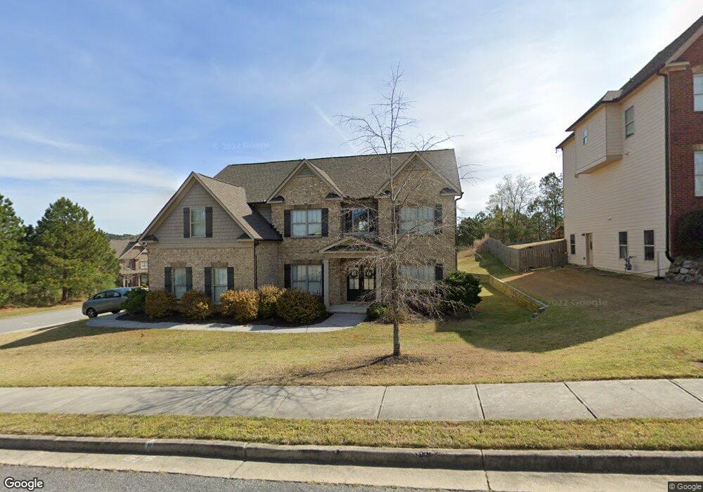
1922 Side Branch Way Lawrenceville, GA 30045
Estimated Value: $488,367 - $574,000
5
Beds
4
Baths
3,120
Sq Ft
$169/Sq Ft
Est. Value
About This Home
This home is located at 1922 Side Branch Way, Lawrenceville, GA 30045 and is currently estimated at $527,092, approximately $168 per square foot. 1922 Side Branch Way is a home located in Gwinnett County with nearby schools including W.J. Cooper Elementary School, McConnell Middle School, and Archer High School.
Ownership History
Date
Name
Owned For
Owner Type
Purchase Details
Closed on
Sep 30, 2015
Sold by
Sr Homes Llc
Bought by
Oneal Lisa and Oneal Thomas
Current Estimated Value
Home Financials for this Owner
Home Financials are based on the most recent Mortgage that was taken out on this home.
Original Mortgage
$284,648
Outstanding Balance
$223,110
Interest Rate
3.93%
Mortgage Type
FHA
Estimated Equity
$303,982
Purchase Details
Closed on
Mar 31, 2015
Sold by
Tribble Mill Investment Co Llc
Bought by
Sr Homes Llc
Purchase Details
Closed on
Mar 30, 2015
Sold by
Golfside Development Grp Llc
Bought by
Tribble Mill Investment Co Llc
Purchase Details
Closed on
Apr 30, 2012
Sold by
Robomac 2 Llc
Bought by
Nbc Resolutions Llc
Purchase Details
Closed on
Mar 5, 2012
Sold by
Bank Of The Ozarks
Bought by
Robomac 2 Llc
Create a Home Valuation Report for This Property
The Home Valuation Report is an in-depth analysis detailing your home's value as well as a comparison with similar homes in the area
Home Values in the Area
Average Home Value in this Area
Purchase History
| Date | Buyer | Sale Price | Title Company |
|---|---|---|---|
| Oneal Lisa | $289,900 | -- | |
| Sr Homes Llc | -- | -- | |
| Tribble Mill Investment Co Llc | $150,000 | -- | |
| Nbc Resolutions Llc | $142,000 | -- | |
| Robomac 2 Llc | $142,500 | -- | |
| Bank Of The Ozarks | -- | -- |
Source: Public Records
Mortgage History
| Date | Status | Borrower | Loan Amount |
|---|---|---|---|
| Open | Oneal Lisa | $284,648 |
Source: Public Records
Tax History Compared to Growth
Tax History
| Year | Tax Paid | Tax Assessment Tax Assessment Total Assessment is a certain percentage of the fair market value that is determined by local assessors to be the total taxable value of land and additions on the property. | Land | Improvement |
|---|---|---|---|---|
| 2025 | $6,967 | $186,880 | $36,320 | $150,560 |
| 2024 | $7,247 | $192,920 | $40,000 | $152,920 |
| 2023 | $7,247 | $192,920 | $40,000 | $152,920 |
| 2022 | $6,498 | $172,600 | $37,600 | $135,000 |
| 2021 | $5,127 | $131,960 | $30,000 | $101,960 |
| 2020 | $5,157 | $131,960 | $30,000 | $101,960 |
| 2019 | $4,965 | $131,960 | $30,000 | $101,960 |
| 2018 | $4,662 | $123,080 | $24,400 | $98,680 |
| 2016 | $4,250 | $112,920 | $24,400 | $88,520 |
| 2015 | $508 | $12,600 | $12,600 | $0 |
| 2014 | $232 | $4,800 | $4,800 | $0 |
Source: Public Records
Map
Nearby Homes
- 1638 Great Shoals Cir
- 1498 Great Shoals Cir
- 1871 Alcovy Bluff Way
- 1028 River Forest Point
- 1932 River Crest Way
- 1859 Alcovy Shoals Bluff
- 1268 Side Step Trace
- 2018 Great Shoals Cir
- 1328 Blazing Star Rd SE
- 1474 Union Station Ct SE
- 1935 Alcovy Trails Dr
- 1492 Station Ridge Ct SE
- 1329 Station Ridge Dr
- 1302 Ida Woods Ln
- 1273 Royal Ives Ct
- 1632 Great Shoals Dr
- 1240 Grayson Oaks Dr
- 1332 Melrose Woods Ln
- 1201 Tribble Woods Ct Unit 2
- 1922 Side Branch Way Unit 167C
- 1461 Low Water Way Unit 168C
- 1461 Low Water Way
- 1471 Low Water Way Unit 167C
- 1471 Low Water Way
- 1912 Side Branch Way
- 1912 Side Branch Way Unit 166C
- 1451 Low Water Way Unit 169C
- 1451 Low Water Way
- 1942 Side Branch Way Unit 150C
- 1478 Low Water Way Unit 150
- 1478 Low Water Way
- 1923 Side Branch Way
- 1468 Low Water Way Unit 149
- 1902 Side Branch Way Unit 165C
- 1902 Side Branch Way
- 1578 Great Shoals Cir
- 1568 Great Shoals Cir
- 1441 Low Water Way Unit 170C
- 1441 Low Water Way
