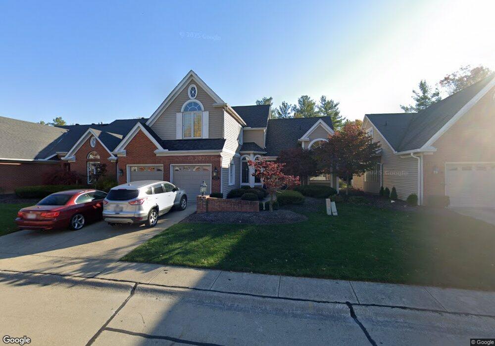
19221 Bridge Path Strongsville, OH 44136
Estimated Value: $359,332 - $411,000
4
Beds
4
Baths
2,454
Sq Ft
$160/Sq Ft
Est. Value
About This Home
This home is located at 19221 Bridge Path, Strongsville, OH 44136 and is currently estimated at $393,333, approximately $160 per square foot. 19221 Bridge Path is a home located in Cuyahoga County with nearby schools including Strongsville High School and Saint Ambrose Catholic School.
Ownership History
Date
Name
Owned For
Owner Type
Purchase Details
Closed on
Apr 29, 2008
Sold by
Northcutt Dennis L
Bought by
Manney Sharon
Current Estimated Value
Purchase Details
Closed on
May 7, 2001
Sold by
Bailey Joan
Bought by
Northcutt Dennis L
Home Financials for this Owner
Home Financials are based on the most recent Mortgage that was taken out on this home.
Original Mortgage
$192,000
Interest Rate
6.49%
Purchase Details
Closed on
May 25, 2000
Sold by
Eric Turner
Bought by
Turnr Eric
Purchase Details
Closed on
Nov 20, 1991
Bought by
Turner Eric
Purchase Details
Closed on
Jan 1, 1987
Bought by
Framingham Group Inc
Create a Home Valuation Report for This Property
The Home Valuation Report is an in-depth analysis detailing your home's value as well as a comparison with similar homes in the area
Home Values in the Area
Average Home Value in this Area
Purchase History
| Date | Buyer | Sale Price | Title Company |
|---|---|---|---|
| Manney Sharon | $210,000 | Executive Title Agency | |
| Northcutt Dennis L | $240,000 | First Partners Title | |
| Turnr Eric | -- | -- | |
| Turner Eric | $210,000 | -- | |
| Framingham Group Inc | -- | -- |
Source: Public Records
Mortgage History
| Date | Status | Borrower | Loan Amount |
|---|---|---|---|
| Previous Owner | Northcutt Dennis L | $192,000 |
Source: Public Records
Tax History
| Year | Tax Paid | Tax Assessment Tax Assessment Total Assessment is a certain percentage of the fair market value that is determined by local assessors to be the total taxable value of land and additions on the property. | Land | Improvement |
|---|---|---|---|---|
| 2025 | $5,136 | $109,410 | $20,860 | $88,550 |
| 2024 | $5,137 | $109,410 | $20,860 | $88,550 |
| 2023 | $5,576 | $89,050 | $16,420 | $72,630 |
| 2022 | $5,535 | $89,040 | $16,420 | $72,630 |
| 2021 | $5,492 | $89,040 | $16,420 | $72,630 |
| 2020 | $5,641 | $80,920 | $14,910 | $66,010 |
| 2019 | $5,475 | $231,200 | $42,600 | $188,600 |
| 2018 | $4,969 | $80,920 | $14,910 | $66,010 |
| 2017 | $5,183 | $78,130 | $12,780 | $65,350 |
| 2016 | $5,141 | $78,130 | $12,780 | $65,350 |
| 2015 | $5,214 | $78,130 | $12,780 | $65,350 |
| 2014 | $5,214 | $78,130 | $12,780 | $65,350 |
Source: Public Records
Map
Nearby Homes
- 16506 Sunwood Oval
- 16524 Timberline Dr
- 18848 Pearl Rd
- 17922 Cambridge Oval
- 17163 Golden Star Dr
- 18764 Ledgestone Dr
- 18040 Woodside Crossing N
- 19044 Quail Hollow Dr
- 17134 Rabbit Run Dr
- 88 N Carpenter Rd
- 16244 Delmont Ave
- 15446 Drake Rd
- 19595 Cross Trail N
- 20067 Killians Grove
- 14766 Boston Rd
- 19496 Echo Dr
- 14401 Trenton Ave
- 4242 Bennington Blvd
- 14686 Drake Rd
- 4232 Mayfair Dr
- 19209 Bridge Path
- 19177 Bridge Path
- 19214 Bridge Path
- 19236 Bridge Path
- 18900 Saratoga Trail
- 19192 Bridge Path
- 18956 Saratoga Trail
- 19155 Bridge Path
- 19160 Bridge Path
- 19012 Saratoga Trail
- 18844 Saratoga Trail
- 17690 Brick Mill Run
- 19148 Bridge Path
- 19123 Bridge Path
- 19086 Bridge Path
- 19066 Saratoga Trail
- 17728 Brick Mill Run
- 18788 Saratoga Trail
- 19101 Bridge Path
- 17774 Brick Mill Run
Your Personal Tour Guide
Ask me questions while you tour the home.