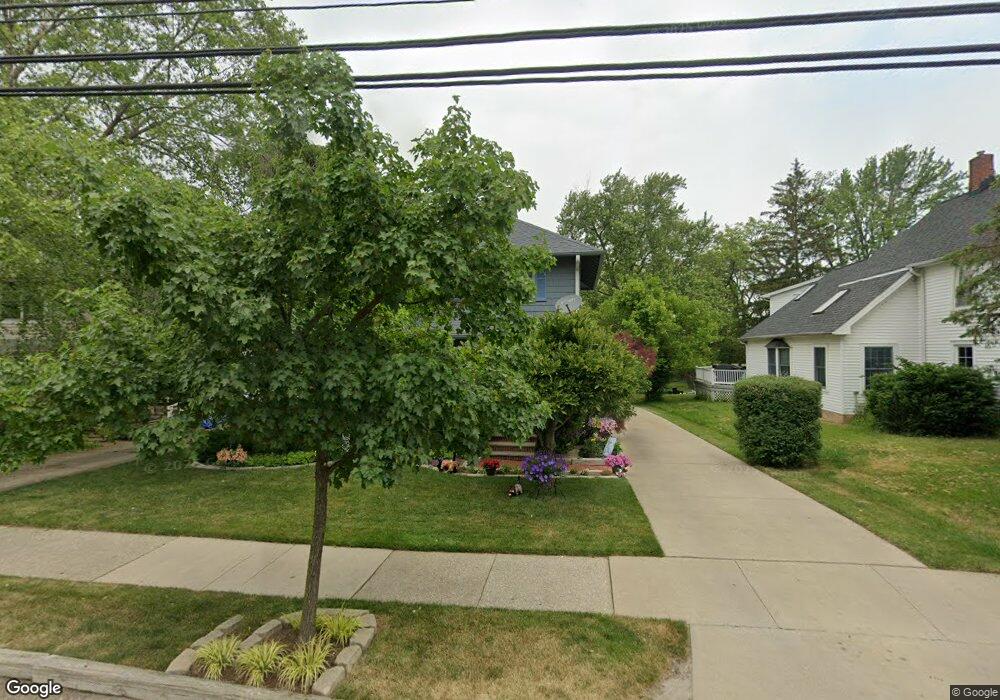
19226 Westwood Dr Strongsville, OH 44149
Estimated Value: $233,993 - $279,000
3
Beds
1
Bath
1,474
Sq Ft
$178/Sq Ft
Est. Value
About This Home
This home is located at 19226 Westwood Dr, Strongsville, OH 44149 and is currently estimated at $261,998, approximately $177 per square foot. 19226 Westwood Dr is a home located in Cuyahoga County with nearby schools including Strongsville High School and Sts Joseph & John Interparochial School.
Ownership History
Date
Name
Owned For
Owner Type
Purchase Details
Closed on
Mar 28, 1997
Sold by
Bartley James E
Bought by
Mclellon Mark A and Starr Judith M
Current Estimated Value
Home Financials for this Owner
Home Financials are based on the most recent Mortgage that was taken out on this home.
Original Mortgage
$112,000
Outstanding Balance
$14,278
Interest Rate
7.73%
Mortgage Type
New Conventional
Estimated Equity
$247,720
Purchase Details
Closed on
Sep 6, 1988
Sold by
Jackson John Vii
Bought by
James Bartley E
Purchase Details
Closed on
Aug 25, 1978
Sold by
Zerby Mildred
Bought by
Jackson John Vii
Purchase Details
Closed on
Jun 22, 1978
Sold by
Zerby Elvin and Zerby Mildred
Bought by
Zerby Mildred
Purchase Details
Closed on
Jan 1, 1975
Bought by
Zerby Elvin and Zerby Mildred
Create a Home Valuation Report for This Property
The Home Valuation Report is an in-depth analysis detailing your home's value as well as a comparison with similar homes in the area
Home Values in the Area
Average Home Value in this Area
Purchase History
| Date | Buyer | Sale Price | Title Company |
|---|---|---|---|
| Mclellon Mark A | $127,000 | -- | |
| James Bartley E | $86,500 | -- | |
| Jackson John Vii | $56,000 | -- | |
| Zerby Mildred | -- | -- | |
| Zerby Elvin | -- | -- |
Source: Public Records
Mortgage History
| Date | Status | Borrower | Loan Amount |
|---|---|---|---|
| Open | Mclellon Mark A | $112,000 |
Source: Public Records
Tax History Compared to Growth
Tax History
| Year | Tax Paid | Tax Assessment Tax Assessment Total Assessment is a certain percentage of the fair market value that is determined by local assessors to be the total taxable value of land and additions on the property. | Land | Improvement |
|---|---|---|---|---|
| 2024 | $2,640 | $66,010 | $9,555 | $56,455 |
| 2023 | $2,793 | $53,770 | $13,060 | $40,710 |
| 2022 | $2,798 | $53,760 | $13,060 | $40,710 |
| 2021 | $2,776 | $53,760 | $13,060 | $40,710 |
| 2020 | $3,072 | $44,070 | $10,710 | $33,360 |
| 2019 | $2,982 | $125,900 | $30,600 | $95,300 |
| 2018 | $2,614 | $44,070 | $10,710 | $33,360 |
| 2017 | $2,568 | $38,710 | $8,470 | $30,240 |
| 2016 | $2,547 | $38,710 | $8,470 | $30,240 |
| 2015 | $2,509 | $38,710 | $8,470 | $30,240 |
| 2014 | $2,509 | $37,600 | $8,230 | $29,370 |
Source: Public Records
Map
Nearby Homes
- 13099 Olympus Way
- 13156 Olympus Way
- 13066 Olympus Way
- 19160 Wheelers Ln
- 14112 Settlers Way
- 19620 Porters Ln Unit 15F
- 12539 Olympus Way
- 12694 Ionia Ct
- 12385 Corinth Ct
- 12647 Edgepark Cir
- 18248 Meadow Ln
- 13236 Tomson Dr
- 20078 Trapper Trail
- 18336 Falling Water Rd
- 17809 Cliffside Dr Unit 4926
- 12651 Alameda Dr
- 19513 Lunn Rd
- 17945 Cliffside Dr
- 17289 Akita Ct Unit 4508
- 11499 Pearl Rd Unit A106
- 19230 Westwood Dr
- 19194 Westwood Dr
- 19262 Westwood Dr
- 19256 Westwood Dr
- 19190 Westwood Dr
- 19227 Westwood Dr
- 19255 Westwood Dr
- 19199 Westwood Dr
- 19162 Westwood Dr
- 19259 Westwood Dr
- 19136 Westwood Dr
- 19292 Westwood Dr
- 19289 Westwood Dr
- 19132 Westwood Dr
- 19191 Westwood Dr
- 19322 Westwood Dr
- 19293 Westwood Dr
- 19163 Westwood Dr
- 19128 Westwood Dr
- 19327 Westwood Dr