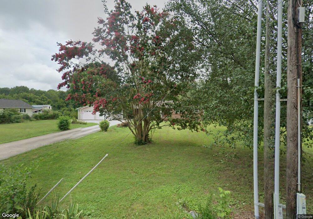
1923 Carter Grove Rd Hazel Green, AL 35750
Estimated Value: $295,000 - $370,000
3
Beds
2
Baths
2,300
Sq Ft
$144/Sq Ft
Est. Value
About This Home
This home is located at 1923 Carter Grove Rd, Hazel Green, AL 35750 and is currently estimated at $332,099, approximately $144 per square foot. 1923 Carter Grove Rd is a home located in Madison County with nearby schools including Madison Cross Roads Elementary School, Sparkman Middle School, and Sparkman High School.
Ownership History
Date
Name
Owned For
Owner Type
Purchase Details
Closed on
Nov 29, 2010
Sold by
Glass Ronnie Lee and Glass Ghelma Irene
Bought by
Dance Curtis Cornwall and Dance Amy Ladawn
Current Estimated Value
Home Financials for this Owner
Home Financials are based on the most recent Mortgage that was taken out on this home.
Original Mortgage
$162,356
Outstanding Balance
$107,410
Interest Rate
4.4%
Mortgage Type
FHA
Estimated Equity
$224,689
Create a Home Valuation Report for This Property
The Home Valuation Report is an in-depth analysis detailing your home's value as well as a comparison with similar homes in the area
Home Values in the Area
Average Home Value in this Area
Purchase History
| Date | Buyer | Sale Price | Title Company |
|---|---|---|---|
| Dance Curtis Cornwall | -- | -- |
Source: Public Records
Mortgage History
| Date | Status | Borrower | Loan Amount |
|---|---|---|---|
| Open | Dance Curtis Cornwall | $162,356 |
Source: Public Records
Tax History Compared to Growth
Tax History
| Year | Tax Paid | Tax Assessment Tax Assessment Total Assessment is a certain percentage of the fair market value that is determined by local assessors to be the total taxable value of land and additions on the property. | Land | Improvement |
|---|---|---|---|---|
| 2025 | $904 | $26,740 | $8,000 | $18,740 |
| 2024 | $904 | $25,920 | $8,000 | $17,920 |
| 2023 | $874 | $25,920 | $8,000 | $17,920 |
| 2022 | $679 | $20,300 | $4,760 | $15,540 |
| 2021 | $627 | $18,880 | $4,760 | $14,120 |
| 2020 | $591 | $17,880 | $4,750 | $13,130 |
| 2019 | $573 | $17,390 | $4,750 | $12,640 |
| 2018 | $535 | $16,360 | $0 | $0 |
| 2017 | $535 | $16,360 | $0 | $0 |
| 2016 | $535 | $16,360 | $0 | $0 |
| 2015 | $535 | $16,360 | $0 | $0 |
| 2014 | $531 | $16,240 | $0 | $0 |
Source: Public Records
Map
Nearby Homes
- 1494 Carter Grove Rd
- 2.28 ACRES Scott Rd
- 1439 Carter Grove Rd
- Lot 5 Scott Rd
- Lot 3 Scott Rd
- 1637 Scott Rd
- 1239 Scott Rd
- 114 Treva Ln
- 118 Treva Ln
- 131 Water Tank Rd
- 1055 Scott Rd
- 124 Randall Mullins Rd
- 102 Treva Ln
- 133 Andys Dr
- 517 Rolan Gooch Rd
- 351 Randall Mullins Rd
- 1 acre Honea Rd
- 8055 State Line Rd
- 8369 State Line Rd
- 2385 Bobo Section Rd
- 1933 Carter Grove Rd
- 1909 Carter Grove Rd
- 1901 Carter Grove Rd
- 1945 Carter Grove Rd
- 1916 Carter Grove Rd
- 1934 Carter Grove Rd
- 1887 Carter Grove Rd
- 1894 Carter Grove Rd
- 1955 Carter Grove Rd
- 1965 Carter Grove Rd
- 1869 Carter Grove Rd
- 1880 Carter Grove Rd
- 1958 Carter Grove Rd
- 1853 Carter Grove Rd
- 1975 Carter Grove Rd
- 1997 Carter Grove Rd
- 3273 Bobo Section Rd
- 3309 Bobo Section Rd
- 3253 Bobo Section Rd
- 1994 Carter Grove Rd