Estimated Value: $233,000 - $265,000
3
Beds
2
Baths
1,692
Sq Ft
$148/Sq Ft
Est. Value
About This Home
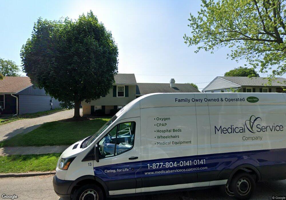
This home is located at 1923 Commonwealth Dr, Xenia, OH 45385 and is currently estimated at $249,625, approximately $147 per square foot. 1923 Commonwealth Dr is a home located in Greene County with nearby schools including Xenia High School, Summit Academy Community School for Alternative Learners - Xenia, and Legacy Christian Academy.
Ownership History
Date
Name
Owned For
Owner Type
Purchase Details
Closed on
May 25, 2021
Sold by
Cornell Jesse A and Cornell Julie
Bought by
Soppe Joshua and Soppe Kara
Current Estimated Value
Home Financials for this Owner
Home Financials are based on the most recent Mortgage that was taken out on this home.
Original Mortgage
$179,450
Outstanding Balance
$162,115
Interest Rate
2.9%
Mortgage Type
New Conventional
Estimated Equity
$87,510
Purchase Details
Closed on
Nov 25, 2019
Sold by
Thompson Louis R and Thompson Sandra E
Bought by
Cornell Jesse A and Cornell Julie
Home Financials for this Owner
Home Financials are based on the most recent Mortgage that was taken out on this home.
Original Mortgage
$110,700
Interest Rate
3.6%
Mortgage Type
New Conventional
Purchase Details
Closed on
May 25, 2005
Sold by
Thompson Louis R and Thompson Sandra E
Bought by
Thompson Louis R and Thompson Sandra E
Purchase Details
Closed on
Jan 1, 1987
Bought by
Thompson Louis R and Thompson Thompson
Create a Home Valuation Report for This Property
The Home Valuation Report is an in-depth analysis detailing your home's value as well as a comparison with similar homes in the area
Home Values in the Area
Average Home Value in this Area
Purchase History
| Date | Buyer | Sale Price | Title Company |
|---|---|---|---|
| Soppe Joshua | -- | None Listed On Document | |
| Cornell Jesse A | $123,000 | None Available | |
| Thompson Louis R | -- | -- | |
| Thompson Louis R | $52,000 | -- |
Source: Public Records
Mortgage History
| Date | Status | Borrower | Loan Amount |
|---|---|---|---|
| Open | Soppe Joshua | $179,450 | |
| Previous Owner | Cornell Jesse A | $110,700 |
Source: Public Records
Tax History Compared to Growth
Tax History
| Year | Tax Paid | Tax Assessment Tax Assessment Total Assessment is a certain percentage of the fair market value that is determined by local assessors to be the total taxable value of land and additions on the property. | Land | Improvement |
|---|---|---|---|---|
| 2024 | $3,002 | $70,160 | $10,930 | $59,230 |
| 2023 | $3,002 | $70,160 | $10,930 | $59,230 |
| 2022 | $2,562 | $51,070 | $6,430 | $44,640 |
| 2021 | $2,140 | $42,090 | $6,430 | $35,660 |
| 2020 | $2,050 | $42,090 | $6,430 | $35,660 |
| 2019 | $1,284 | $34,190 | $6,290 | $27,900 |
| 2018 | $1,287 | $34,190 | $6,290 | $27,900 |
| 2017 | $1,137 | $34,190 | $6,290 | $27,900 |
| 2016 | $1,137 | $30,770 | $6,290 | $24,480 |
| 2015 | $570 | $30,770 | $6,290 | $24,480 |
| 2014 | $545 | $30,770 | $6,290 | $24,480 |
Source: Public Records
Map
Nearby Homes
- 1866 Roxbury Dr
- 1403 Texas Dr
- 1908 Whitt St
- 1255 Colorado Dr
- 1778 Arapaho Dr
- 1829 Gayhart Dr
- 1769 Gayhart Dr
- 1107 Arkansas Dr
- 2499 Jenny Marie Dr
- 1272 Bellbrook Ave
- 1618 Navajo Dr
- 2540 Jenny Marie Dr
- 1653 Seneca Dr
- 2421 Louisiana Dr
- 1208 Bellbrook Ave
- 2540 Cornwall Dr
- 2345 Tennessee Dr
- 2257 Maryland Dr
- 0 Berkshire Dr Unit 942854
- 910 Wright Ave
- 1937 Commonwealth Dr
- 1909 Commonwealth Dr
- 1951 Commonwealth Dr
- 1895 Commonwealth Dr
- 1916 Commonwealth Dr
- 1973 Crase Dr
- 1902 Commonwealth Dr
- 1890 Commonwealth Dr
- 1965 Commonwealth Dr
- 2070 Wimbledon Dr
- 2060 Wimbledon Dr
- 1972 Crase Dr
- 1876 Commonwealth Dr
- 1895 Roxbury Dr
- 1867 Commonwealth Dr
- 1879 Roxbury Dr
- 2048 Wimbledon Dr
- 1867 Roxbury Dr
- 1970 Commonwealth Dr
- 2034 Wimbledon Dr