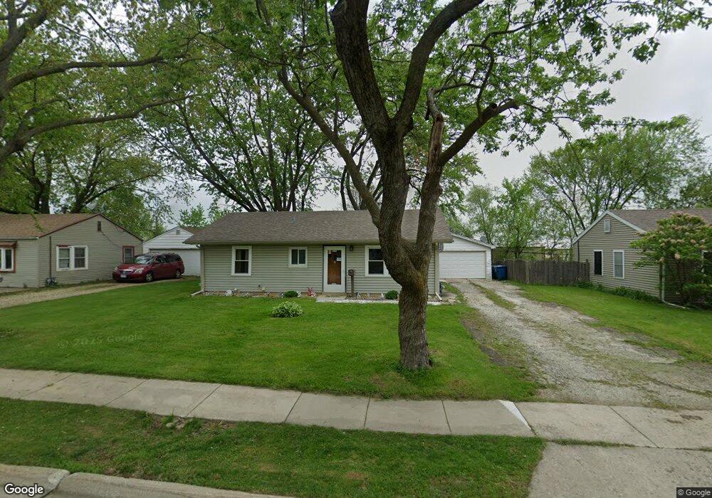
1923 Cowing Ln Crest Hill, IL 60403
Cunningham NeighborhoodEstimated Value: $190,060 - $243,000
Studio
--
Bath
--
Sq Ft
8,712
Sq Ft Lot
About This Home
This home is located at 1923 Cowing Ln, Crest Hill, IL 60403 and is currently estimated at $219,515. 1923 Cowing Ln is a home located in Will County with nearby schools including Chaney Elementary School, Lockport Township High School East, and Cathedral Of St Raymond School.
Ownership History
Date
Name
Owned For
Owner Type
Purchase Details
Closed on
Apr 13, 2005
Sold by
First Midwest Bank
Bought by
Schultz James
Current Estimated Value
Home Financials for this Owner
Home Financials are based on the most recent Mortgage that was taken out on this home.
Original Mortgage
$130,813
Outstanding Balance
$67,986
Interest Rate
5.89%
Mortgage Type
FHA
Estimated Equity
$151,529
Purchase Details
Closed on
May 7, 1994
Sold by
Thayer Donald C and Thayer Janet L
Bought by
First National Bank Of Joliet
Create a Home Valuation Report for This Property
The Home Valuation Report is an in-depth analysis detailing your home's value as well as a comparison with similar homes in the area
Home Values in the Area
Average Home Value in this Area
Purchase History
| Date | Buyer | Sale Price | Title Company |
|---|---|---|---|
| Schultz James | $133,000 | Cti | |
| First National Bank Of Joliet | -- | -- |
Source: Public Records
Mortgage History
| Date | Status | Borrower | Loan Amount |
|---|---|---|---|
| Open | Schultz James | $130,813 |
Source: Public Records
Tax History
| Year | Tax Paid | Tax Assessment Tax Assessment Total Assessment is a certain percentage of the fair market value that is determined by local assessors to be the total taxable value of land and additions on the property. | Land | Improvement |
|---|---|---|---|---|
| 2024 | $3,980 | $58,614 | $20,917 | $37,697 |
| 2023 | $3,980 | $52,620 | $18,778 | $33,842 |
| 2022 | $3,385 | $45,796 | $16,342 | $29,454 |
| 2021 | $3,194 | $43,038 | $15,358 | $27,680 |
| 2020 | $3,117 | $41,623 | $14,853 | $26,770 |
| 2019 | $2,938 | $39,453 | $14,079 | $25,374 |
| 2018 | $2,657 | $35,461 | $12,655 | $22,806 |
| 2017 | $2,545 | $33,476 | $11,947 | $21,529 |
| 2016 | $2,345 | $31,374 | $11,197 | $20,177 |
| 2015 | $2,226 | $30,924 | $10,654 | $20,270 |
| 2014 | $2,226 | $28,901 | $9,957 | $18,944 |
| 2013 | $2,226 | $29,491 | $10,160 | $19,331 |
Source: Public Records
Map
Nearby Homes
- 1811 N Raynor Ave
- 1905 Innercircle Dr
- 1817 Kelly Ave
- 1621 Innercircle Dr Unit 1
- 1523 N May St
- 1310 Harvest Dr
- 1616 Wilcox St
- 1511 Waverly Place
- Vacant Heiden Ave
- 1822 Barthelone Ave
- 1424 Root St
- 1405 Frederick St
- 1235 Norley Ave
- 1684 Willow Circle Dr
- 1317 Waverly Place
- 1402 Boston Ave
- 1310 Hosmer St
- 1310 Burry St
- 1317 N Raynor Ave
- 1314 Catherine St
- 1925 Cowing Ln
- 1921 Cowing Ln
- 1927 Cowing Ln
- 1919 Cowing Ln
- 1914 Cowing Ln
- 1929 Cowing Ln
- 1916 Cowing Ln
- 1912 Cowing Ln Unit 2
- 1917 Cowing Ln
- 1918 Cowing Ln
- 1931 Cowing Ln
- 1931 Cowing Ln
- 1910 Cowing Ln
- 921 Brian Dr Unit D
- 1915 Cowing Ln
- 1908 Cowing Ln
- 1920 Cowing Ln
- 1913 Cowing Ln
- 1933 Cowing Ln
- 1911 Cowing Ln
Your Personal Tour Guide
Ask me questions while you tour the home.