1923 Dillman Rd Martinsville, IN 46151
Estimated Value: $466,000 - $571,000
4
Beds
2
Baths
3,248
Sq Ft
$165/Sq Ft
Est. Value
About This Home
This home is located at 1923 Dillman Rd, Martinsville, IN 46151 and is currently estimated at $535,443, approximately $164 per square foot. 1923 Dillman Rd is a home located in Morgan County with nearby schools including Martinsville High School.
Ownership History
Date
Name
Owned For
Owner Type
Purchase Details
Closed on
Jul 19, 2024
Sold by
Crabb Jared M
Bought by
Floyd Ryan and Floyd Sheriann
Current Estimated Value
Purchase Details
Closed on
Feb 26, 2010
Sold by
Knox Wesley E and Knox Laura B
Bought by
Crabb Jared M
Home Financials for this Owner
Home Financials are based on the most recent Mortgage that was taken out on this home.
Original Mortgage
$184,000
Interest Rate
5.01%
Mortgage Type
New Conventional
Create a Home Valuation Report for This Property
The Home Valuation Report is an in-depth analysis detailing your home's value as well as a comparison with similar homes in the area
Home Values in the Area
Average Home Value in this Area
Purchase History
| Date | Buyer | Sale Price | Title Company |
|---|---|---|---|
| Floyd Ryan | $420,000 | Title Alliance | |
| Crabb Jared M | -- | -- |
Source: Public Records
Mortgage History
| Date | Status | Borrower | Loan Amount |
|---|---|---|---|
| Previous Owner | Crabb Jared M | $184,000 |
Source: Public Records
Tax History Compared to Growth
Tax History
| Year | Tax Paid | Tax Assessment Tax Assessment Total Assessment is a certain percentage of the fair market value that is determined by local assessors to be the total taxable value of land and additions on the property. | Land | Improvement |
|---|---|---|---|---|
| 2024 | $2,353 | $438,700 | $103,200 | $335,500 |
| 2023 | $2,205 | $431,800 | $103,200 | $328,600 |
| 2022 | $1,885 | $415,500 | $103,200 | $312,300 |
| 2021 | $1,294 | $309,600 | $69,900 | $239,700 |
| 2020 | $1,086 | $286,100 | $55,500 | $230,600 |
| 2019 | $1,143 | $271,700 | $55,500 | $216,200 |
| 2018 | $1,064 | $264,400 | $55,500 | $208,900 |
| 2017 | $1,121 | $276,200 | $55,500 | $220,700 |
| 2016 | $1,064 | $256,300 | $55,500 | $200,800 |
| 2014 | $655 | $199,200 | $44,000 | $155,200 |
| 2013 | $655 | $202,900 | $44,000 | $158,900 |
Source: Public Records
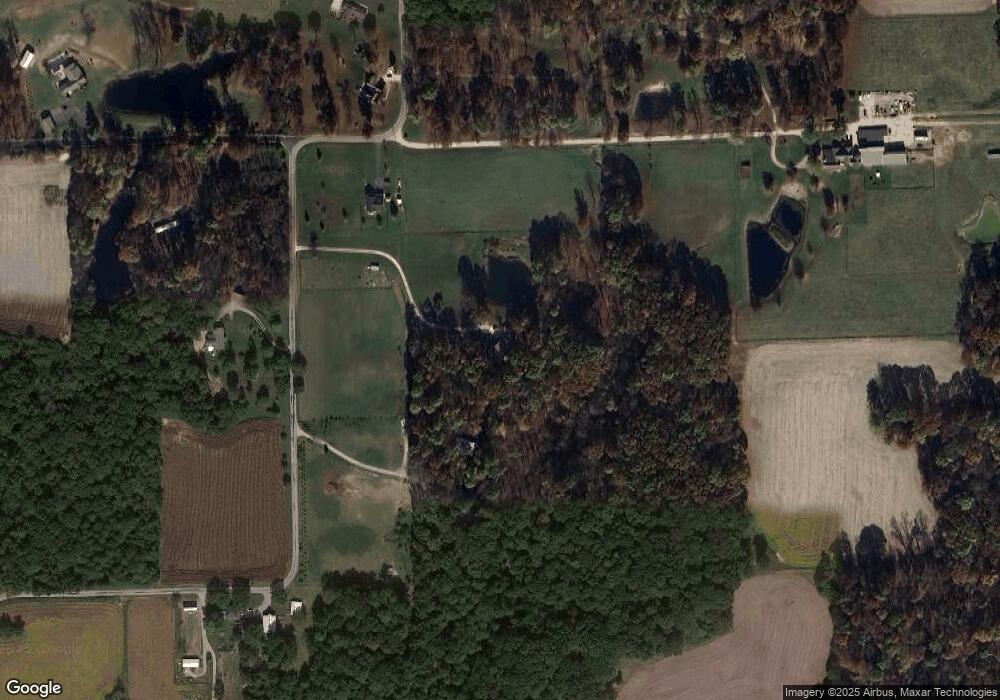
Map
Nearby Homes
- 8405 Mcwhorter Rd
- 8385 Mcwhorter Rd
- 8205 Mcwhorter Rd
- 901 Carter Rd
- 8577 State Road 44
- 7813 W 50 S
- 0 Banta Rd Unit MBR21966792
- 7303 W Division Rd
- 0 Skunk Hollow Rd
- Tract 3 Skunk Hollow Rd
- Tract 2 Skunk Hollow Rd
- 4360 Williams Rd
- 1156 Cope Rd
- 583 Old Moore Ln
- 0 Old Moore Rd
- 7975 New Harmony Rd
- TBD Maple Grove Rd
- 7158 New Harmony Rd
- 600 Old Moore Rd
- 8000 New Harmony Rd
- 1813 Dillman Rd
- 1991 Dillman Rd
- 1830 Dillman Rd
- 2018 Dillman Rd
- 1982 Dillman Rd
- 2032 Dillman Rd
- 2035 Dillman Rd
- 2039 Dillman Rd
- 2048 Dillman Rd
- 1619 Dillman Rd
- 1305 Dillman Rd
- 2102 Dillman Rd
- 2116 Dillman Rd
- 2115 Dillman Rd
- 8450 Mcwhorter Rd
- 8481 Black Oak Dr
- 8481 Dillman Rd
- 8463 Black Oak Dr
- 8447 Black Oak Dr
- 8526 Black Oak Dr