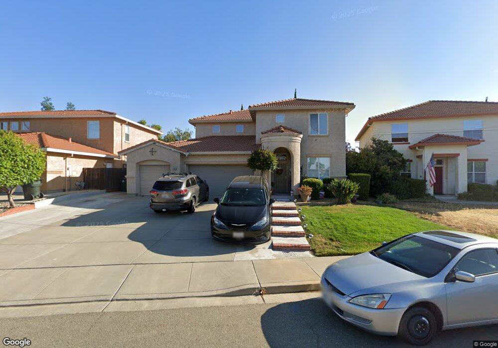
1923 Mount Conness Way Antioch, CA 94531
Lone Tree Valley NeighborhoodEstimated Value: $685,000 - $708,000
About This Home
This home is located at 1923 Mount Conness Way, Antioch, CA 94531 and is currently estimated at $696,140, approximately $270 per square foot. 1923 Mount Conness Way is a home located in Contra Costa County with nearby schools including Lone Tree Elementary School, Dallas Ranch Middle School, and Deer Valley High School.
Ownership History
We collect this data history from publicly available records. To have your information removed, we recommend requesting removal directly through your county’s website.
Purchase Details
Home Financials for this Owner
Home Financials are based on the most recent Mortgage that was taken out on this home.Home Values in the Area
Average Home Value in this Area
Purchase History
We collect this data history from publicly available records. To have your information removed, we recommend requesting removal directly through your county’s website.
| Date | Buyer | Sale Price | Title Company |
|---|---|---|---|
| $224,500 | Old Republic Title Company |
Mortgage History
We collect this data history from publicly available records. To have your information removed, we recommend requesting removal directly through your county’s website.
| Date | Status | Borrower | Loan Amount |
|---|---|---|---|
| Open | $202,050 |
Tax History
We collect this data history from publicly available records. To have your information removed, we recommend requesting removal directly through your county’s website.
| Year | Tax Paid | Tax Assessment Tax Assessment Total Assessment is a certain percentage of the fair market value that is determined by local assessors to be the total taxable value of land and additions on the property. | Land | Improvement |
|---|---|---|---|---|
| 2025 | $4,877 | $400,778 | $78,374 | $322,404 |
| 2024 | $4,589 | $392,921 | $76,838 | $316,083 |
| 2023 | $4,589 | $385,218 | $75,332 | $309,886 |
| 2022 | $4,519 | $377,665 | $73,855 | $303,810 |
| 2021 | $4,385 | $370,260 | $72,407 | $297,853 |
| 2019 | $4,285 | $359,279 | $70,260 | $289,019 |
| 2018 | $4,124 | $352,235 | $68,883 | $283,352 |
| 2017 | $4,039 | $345,330 | $67,533 | $277,797 |
| 2016 | $3,941 | $338,559 | $66,209 | $272,350 |
| 2015 | $4,199 | $333,475 | $65,215 | $268,260 |
| 2014 | $4,819 | $326,944 | $63,938 | $263,006 |
Map
- 1895 Mount Conness Way
- 1900 Kern Mountain Way
- 2009 Tioga Pass Way
- 1841 Kern Mountain Way
- 1883 Mount Goethe Way
- 2072 Schell Mountain Way
- 2096 Mokelumne Dr
- 2117 Mark Twain Dr
- 1846 Sanger Peak Way
- 1806 Gardenia Ct
- 1653 Observation Ct
- 1630 Mount Silliman Way
- 2421 Silveria Way
- 5104 Trailridge Ct
- 1758 Nandina Ct
- 1736 Nandina Ct
- 2096 Goldpine Way
- 5059 Glenhollow Way
- 1301 Amberdale Ct
- 2487 Stanford Way
- 1927 Mount Conness Way
- 1915 Mount Conness Way
- 1948 Kern Mountain Way
- 1922 Mount Conness Way
- 1918 Mount Conness Way
- 1944 Kern Mountain Way
- 1911 Kelsey Peak Ct
- 1914 Mount Conness Way
- 1940 Kern Mountain Way
- 1909 Kelsey Peak Ct
- 1937 Kern Mountain Way
- 1954 Badger Pass Way
- 1958 Badger Pass Way
- 1910 Mount Conness Way
- 1950 Badger Pass Way
- 1936 Kern Mountain Way
- 1962 Badger Pass Way
- 1946 Badger Pass Way
- 5205 Kelsey Peak Way
- 1966 Badger Pass Way
Ask me questions while you tour the home.