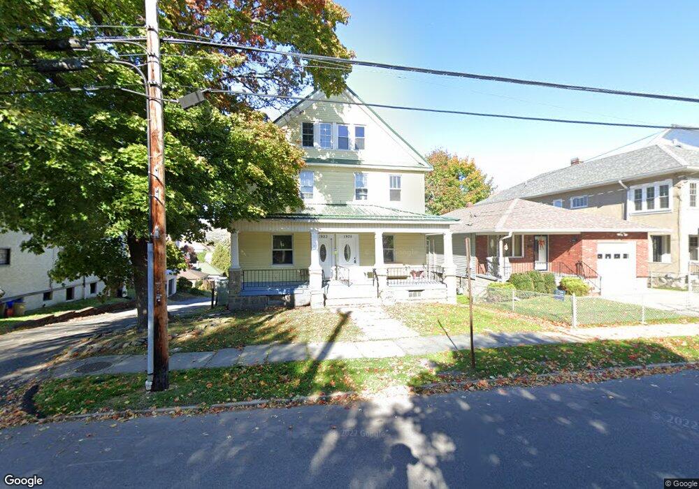
1923 N Washington Ave Unit 1925 Scranton, PA 18509
Greenridge NeighborhoodEstimated Value: $298,000 - $409,000
5
Beds
2
Baths
1,525
Sq Ft
$237/Sq Ft
Est. Value
About This Home
This home is located at 1923 N Washington Ave Unit 1925, Scranton, PA 18509 and is currently estimated at $361,025, approximately $236 per square foot. 1923 N Washington Ave Unit 1925 is a home located in Lackawanna County with nearby schools including Maybeury Elementary School, Pinchbeck Elementary School, and Robert Morris #27.
Ownership History
Date
Name
Owned For
Owner Type
Purchase Details
Closed on
Oct 16, 2023
Sold by
Pa8501 Llc
Bought by
Td Realty Holdings Llc
Current Estimated Value
Purchase Details
Closed on
May 7, 2021
Sold by
Knight Gary W and Knight Carrie L
Bought by
Pa8501 Llc
Purchase Details
Closed on
Dec 13, 2001
Bought by
Knight Gary W and Knight Carrie L
Create a Home Valuation Report for This Property
The Home Valuation Report is an in-depth analysis detailing your home's value as well as a comparison with similar homes in the area
Home Values in the Area
Average Home Value in this Area
Purchase History
| Date | Buyer | Sale Price | Title Company |
|---|---|---|---|
| Td Realty Holdings Llc | $315,000 | None Listed On Document | |
| Pa8501 Llc | $138,000 | First United Land Transfer I | |
| Knight Gary W | $85,500 | -- |
Source: Public Records
Tax History Compared to Growth
Tax History
| Year | Tax Paid | Tax Assessment Tax Assessment Total Assessment is a certain percentage of the fair market value that is determined by local assessors to be the total taxable value of land and additions on the property. | Land | Improvement |
|---|---|---|---|---|
| 2025 | $5,512 | $16,000 | $4,400 | $11,600 |
| 2024 | $5,062 | $16,000 | $4,400 | $11,600 |
| 2023 | $5,062 | $16,000 | $4,400 | $11,600 |
| 2022 | $4,951 | $16,000 | $4,400 | $11,600 |
| 2021 | $4,951 | $16,000 | $4,400 | $11,600 |
| 2020 | $4,865 | $16,000 | $4,400 | $11,600 |
| 2019 | $4,584 | $16,000 | $4,400 | $11,600 |
| 2018 | $4,584 | $16,000 | $4,400 | $11,600 |
| 2017 | $4,509 | $16,000 | $4,400 | $11,600 |
| 2016 | $0 | $16,000 | $4,400 | $11,600 |
| 2015 | $3,449 | $16,000 | $4,400 | $11,600 |
| 2014 | -- | $16,000 | $4,400 | $11,600 |
Source: Public Records
Map
Nearby Homes
- 1118 Columbia St
- 1021 Richmont St
- 1012 Sunset St
- 1008 Sunset St
- 2106 Boulevard Ave
- 1420 College Ave
- 1732 Capouse Ave
- 802 Sunset St
- 1599 Electric St
- 2237 Boulevard Ave
- 1747 Monsey Ave
- 1008 Fisk St
- 1762-1764 Sanderson Ave
- 2349 Adams Ave
- 1715 Quincy Ave
- 2129 Comegys Ave Unit L11
- 601 Dean St
- 512 Electric St Unit 510-516
- 831 Raines St
- 814 N Washington Ave
- 1923-1925 N Washington Ave
- 1925 N Washington Ave
- 1923 N 1925 Washington Ave
- 1931 N Washington Ave
- 1917 N Washington Ave
- 1933 N Washington Ave
- 1116 Richmont St
- 1935 N Washington Ave
- 1114 Richmont St
- 1121 Columbia St
- 1901 N Washington Ave
- 1123 Columbia St
- 1119 Columbia St
- 1900 N Washington Ave Unit 2
- 1900 N Washington Ave Unit 1
- 1920 N Washington Ave
- 1117 Columbia St
- 1936 N Washington Ave
- 1108 Richmont St
- 2001 N Washington Ave