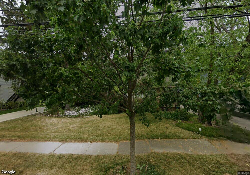
19230 Westwood Dr Strongsville, OH 44149
Estimated Value: $363,977 - $439,000
5
Beds
2
Baths
3,084
Sq Ft
$130/Sq Ft
Est. Value
About This Home
This home is located at 19230 Westwood Dr, Strongsville, OH 44149 and is currently estimated at $399,494, approximately $129 per square foot. 19230 Westwood Dr is a home located in Cuyahoga County with nearby schools including Strongsville High School and Sts Joseph & John Interparochial School.
Ownership History
Date
Name
Owned For
Owner Type
Purchase Details
Closed on
Nov 27, 1989
Sold by
Smallman William H
Bought by
Alexander Donald P
Current Estimated Value
Purchase Details
Closed on
Jul 23, 1980
Sold by
Drefahl Steven P
Bought by
Smallman William H
Purchase Details
Closed on
Dec 22, 1977
Sold by
Howe Myrle W
Bought by
Drefahl Steven P
Purchase Details
Closed on
Apr 25, 1977
Sold by
Howe Neil F and Howe Myrle W
Bought by
Howe Myrle W
Purchase Details
Closed on
Jan 1, 1975
Bought by
Howe Neil F and Howe Myrle W
Create a Home Valuation Report for This Property
The Home Valuation Report is an in-depth analysis detailing your home's value as well as a comparison with similar homes in the area
Home Values in the Area
Average Home Value in this Area
Purchase History
| Date | Buyer | Sale Price | Title Company |
|---|---|---|---|
| Alexander Donald P | $89,500 | -- | |
| Smallman William H | $70,000 | -- | |
| Drefahl Steven P | $32,500 | -- | |
| Howe Myrle W | -- | -- | |
| Howe Neil F | -- | -- |
Source: Public Records
Tax History Compared to Growth
Tax History
| Year | Tax Paid | Tax Assessment Tax Assessment Total Assessment is a certain percentage of the fair market value that is determined by local assessors to be the total taxable value of land and additions on the property. | Land | Improvement |
|---|---|---|---|---|
| 2024 | $5,383 | $114,660 | $13,790 | $100,870 |
| 2023 | $5,135 | $82,010 | $15,370 | $66,640 |
| 2022 | $5,098 | $82,010 | $15,370 | $66,640 |
| 2021 | $5,058 | $82,010 | $15,370 | $66,640 |
| 2020 | $4,687 | $67,240 | $12,600 | $54,640 |
| 2019 | $4,550 | $192,100 | $36,000 | $156,100 |
| 2018 | $4,129 | $67,240 | $12,600 | $54,640 |
| 2017 | $4,374 | $65,940 | $9,940 | $56,000 |
| 2016 | $4,339 | $65,940 | $9,940 | $56,000 |
| 2015 | $4,272 | $65,940 | $9,940 | $56,000 |
| 2014 | $4,272 | $64,020 | $9,660 | $54,360 |
Source: Public Records
Map
Nearby Homes
- 13099 Olympus Way
- 13156 Olympus Way
- 13066 Olympus Way
- 19160 Wheelers Ln
- 14112 Settlers Way
- 19620 Porters Ln Unit 15F
- 12539 Olympus Way
- 12694 Ionia Ct
- 12385 Corinth Ct
- 12647 Edgepark Cir
- 18248 Meadow Ln
- 13236 Tomson Dr
- 20078 Trapper Trail
- 18336 Falling Water Rd
- 17809 Cliffside Dr Unit 4926
- 12651 Alameda Dr
- 19513 Lunn Rd
- 17945 Cliffside Dr
- 17289 Akita Ct Unit 4508
- 11499 Pearl Rd Unit A106
- 19226 Westwood Dr
- 19256 Westwood Dr
- 19194 Westwood Dr
- 19262 Westwood Dr
- 19255 Westwood Dr
- 19259 Westwood Dr
- 19227 Westwood Dr
- 19190 Westwood Dr
- 19292 Westwood Dr
- 19199 Westwood Dr
- 19289 Westwood Dr
- 19162 Westwood Dr
- 19322 Westwood Dr
- 19293 Westwood Dr
- 19136 Westwood Dr
- 19327 Westwood Dr
- 19191 Westwood Dr
- 19132 Westwood Dr
- 19350 Westwood Dr
- 19163 Westwood Dr
