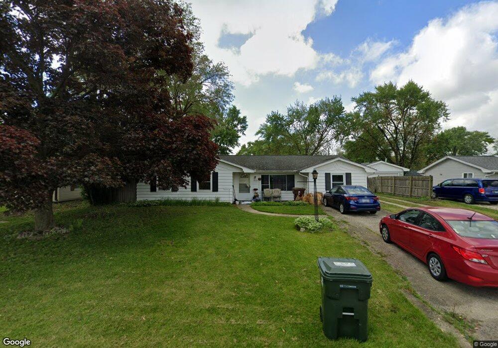
19235 W Dawson Ave Unit 5 Romeoville, IL 60446
Lewis University NeighborhoodEstimated Value: $222,879 - $299,000
--
Bed
--
Bath
1,400
Sq Ft
$193/Sq Ft
Est. Value
About This Home
This home is located at 19235 W Dawson Ave Unit 5, Romeoville, IL 60446 and is currently estimated at $270,720, approximately $193 per square foot. 19235 W Dawson Ave Unit 5 is a home located in Will County with nearby schools including Irene King Elementary School, A. Vito Martinez Middle School, and Romeoville High School.
Ownership History
Date
Name
Owned For
Owner Type
Purchase Details
Closed on
Jul 5, 1994
Sold by
Chamberlin Bernice M
Bought by
Chamberlin Robert
Current Estimated Value
Home Financials for this Owner
Home Financials are based on the most recent Mortgage that was taken out on this home.
Original Mortgage
$70,000
Interest Rate
8.53%
Purchase Details
Closed on
Oct 20, 1993
Sold by
Strode Steven G and Strode Joyce L
Bought by
Chamberlin Bernice M
Create a Home Valuation Report for This Property
The Home Valuation Report is an in-depth analysis detailing your home's value as well as a comparison with similar homes in the area
Home Values in the Area
Average Home Value in this Area
Purchase History
| Date | Buyer | Sale Price | Title Company |
|---|---|---|---|
| Chamberlin Robert | $78,000 | -- | |
| Chamberlin Bernice M | $78,000 | -- |
Source: Public Records
Mortgage History
| Date | Status | Borrower | Loan Amount |
|---|---|---|---|
| Closed | Chamberlin Robert | $70,000 |
Source: Public Records
Tax History Compared to Growth
Tax History
| Year | Tax Paid | Tax Assessment Tax Assessment Total Assessment is a certain percentage of the fair market value that is determined by local assessors to be the total taxable value of land and additions on the property. | Land | Improvement |
|---|---|---|---|---|
| 2024 | $6,114 | $73,943 | $18,935 | $55,008 |
| 2023 | $6,114 | $66,382 | $16,999 | $49,383 |
| 2022 | $5,556 | $61,921 | $15,856 | $46,065 |
| 2021 | $5,287 | $58,191 | $14,901 | $43,290 |
| 2020 | $5,141 | $56,278 | $14,411 | $41,867 |
| 2019 | $4,863 | $53,344 | $13,660 | $39,684 |
| 2018 | $4,614 | $50,301 | $12,881 | $37,420 |
| 2017 | $4,234 | $46,554 | $11,922 | $34,632 |
| 2016 | $3,989 | $43,630 | $11,173 | $32,457 |
| 2015 | $3,720 | $41,513 | $10,631 | $30,882 |
| 2014 | $3,720 | $40,304 | $10,321 | $29,983 |
| 2013 | $3,720 | $45,800 | $11,728 | $34,072 |
Source: Public Records
Map
Nearby Homes
- 15035 Hartman Dr
- 1.4 Acres S Archer Ave
- 1600 Fairmount
- Lot 24 W Windemere Cir
- Lot 13 W Windemere Cir
- 17439 W Windemere Cir
- 17529 W Windemere Cir
- 242 Tallman Ave
- 204 Healy Ave
- 221 Murphy Dr
- 408 Haller Ave
- 923 E Savannah Dr Unit 2
- Lot 2 Governors Hwy
- 0 N Weber Rd Unit MRD12364369
- 939 E Savannah Dr
- 312 Fremont Ave
- 228 Gordon Ave
- 343 Hale Ave
- 322 Kent Ave
- 1282 W Normantown Rd
- 19247 Dawson St
- 19263 Dawson Ave
- 19254 John Kirkham Dr
- 19303 W Dawson Ave Unit 5
- 19239 Dawson St
- 19246 John Kirkham Dr Unit 4
- 19262 John Kirkham Dr
- 19303 W Dawson Ave
- 19262 John Kirkham Dr
- 19238 John Kirkham Dr
- 19231 Dawson St
- 19311 Dawson St
- 19230 John Kirkham Dr
- 19312 John Kirkham Dr
- 19223 Dawson St
- 19319 Dawson St
- 19257 John Kirkham Dr
- 19224 John Kirkham Dr Unit 4
- 19249 John Kirkham Dr
- 19320 John Kirkham Dr Unit 4