--
Bed
--
Bath
2,014
Sq Ft
4,356
Sq Ft Lot
About This Home
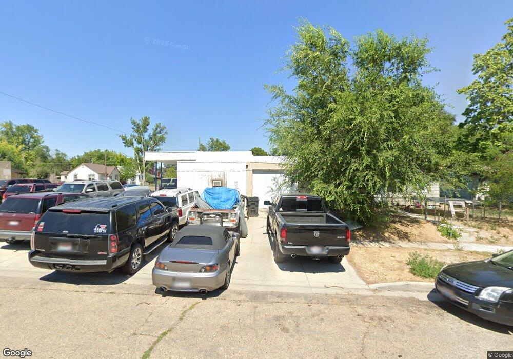
This home is located at 1924 2nd St S, Nampa, ID 83651. 1924 2nd St S is a home located in Canyon County with nearby schools including Sherman Elementary School, West Middle School, and Skyview High School.
Ownership History
Date
Name
Owned For
Owner Type
Purchase Details
Closed on
Jul 24, 2019
Sold by
Watkins Real Estate Investments Llc
Bought by
Duran Joe and Duran Alaina
Home Financials for this Owner
Home Financials are based on the most recent Mortgage that was taken out on this home.
Original Mortgage
$230,000
Interest Rate
3.82%
Mortgage Type
Unknown
Purchase Details
Closed on
Jul 12, 2012
Sold by
Watkins Michael
Bought by
Watkins Michael and Watkins Ann
Home Financials for this Owner
Home Financials are based on the most recent Mortgage that was taken out on this home.
Original Mortgage
$343,200
Interest Rate
3.7%
Mortgage Type
Commercial
Purchase Details
Closed on
Feb 4, 2005
Sold by
Fretz Max H and Zornik Linda L
Bought by
Watkins Michael
Home Financials for this Owner
Home Financials are based on the most recent Mortgage that was taken out on this home.
Original Mortgage
$100,000
Interest Rate
5.81%
Mortgage Type
Seller Take Back
Create a Home Valuation Report for This Property
The Home Valuation Report is an in-depth analysis detailing your home's value as well as a comparison with similar homes in the area
Home Values in the Area
Average Home Value in this Area
Purchase History
| Date | Buyer | Sale Price | Title Company |
|---|---|---|---|
| Duran Joe | -- | Pioneer Title Canyon | |
| Watkins Michael | -- | Pioneer Title Canyon Ca | |
| Watkins Michael | -- | -- |
Source: Public Records
Mortgage History
| Date | Status | Borrower | Loan Amount |
|---|---|---|---|
| Closed | Duran Joe | $230,000 | |
| Previous Owner | Watkins Michael | $343,200 | |
| Previous Owner | Watkins Michael | $100,000 |
Source: Public Records
Tax History Compared to Growth
Tax History
| Year | Tax Paid | Tax Assessment Tax Assessment Total Assessment is a certain percentage of the fair market value that is determined by local assessors to be the total taxable value of land and additions on the property. | Land | Improvement |
|---|---|---|---|---|
| 2025 | $2,367 | $331,770 | $52,270 | $279,500 |
| 2024 | $2,367 | $331,590 | $50,090 | $281,500 |
| 2023 | $2,313 | $307,020 | $47,920 | $259,100 |
| 2022 | $1,122 | $265,160 | $43,560 | $221,600 |
| 2021 | $1,731 | $146,940 | $26,140 | $120,800 |
| 2020 | $1,701 | $131,360 | $19,160 | $112,200 |
| 2019 | $1,904 | $118,660 | $19,160 | $99,500 |
| 2018 | $1,742 | $0 | $0 | $0 |
| 2017 | $1,758 | $0 | $0 | $0 |
| 2016 | $1,825 | $0 | $0 | $0 |
| 2015 | $1,814 | $0 | $0 | $0 |
| 2014 | $1,593 | $81,720 | $17,420 | $64,300 |
Source: Public Records
Map
Nearby Homes
- 2024 2nd St S
- 11480 W Sammi St
- 15634 N Shadow Cove Ave
- 1711 1st St S Unit 2, Ground Floor SW s
- 123 17th Ave S
- 511 20th Ave S
- 512 19th Ave S
- 516 20th Ave S
- 219 16th Ave S
- 615 18th Ave S
- 216 S Powerline Rd
- 1716 Nixon Ave
- 55 S Sugar Loop Ln
- 1415 2nd St N
- 416 S Powerline Rd
- 1315 2nd St N
- 219 14th Ave N
- 223 S Elder St
- 519 20th Ave N
- TBD E Victory Rd