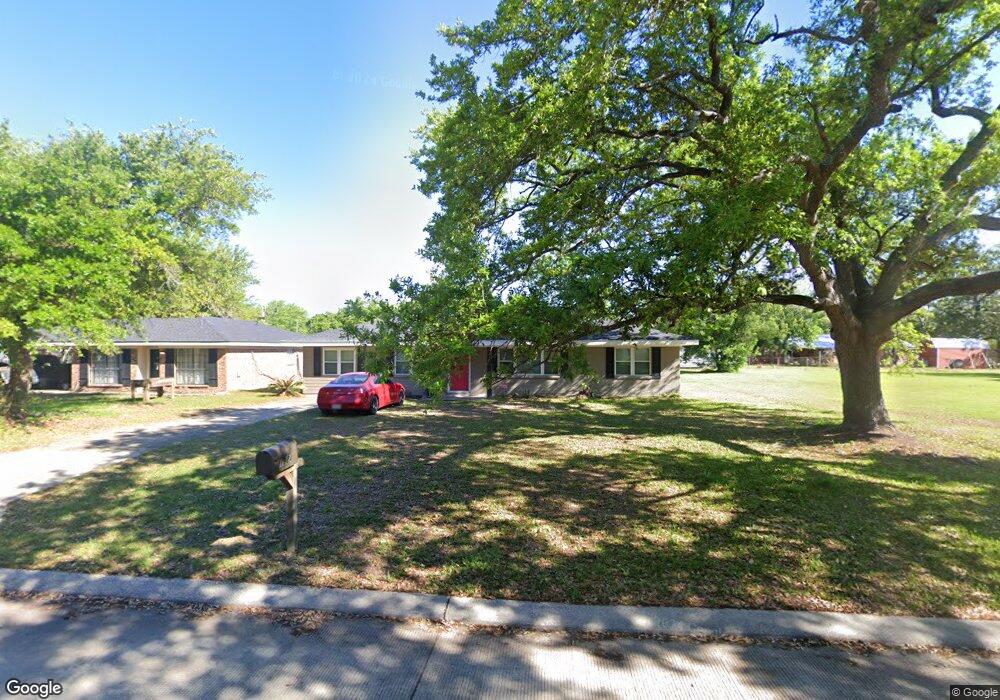
1924 Anderson Ave Westlake, LA 70669
Estimated Value: $116,698 - $176,000
3
Beds
1
Bath
1,245
Sq Ft
$125/Sq Ft
Est. Value
About This Home
This home is located at 1924 Anderson Ave, Westlake, LA 70669 and is currently estimated at $155,175, approximately $124 per square foot. 1924 Anderson Ave is a home located in Calcasieu Parish with nearby schools including Westwood Elementary School, Western Heights Elementary School, and S.P. Arnett Middle School.
Ownership History
Date
Name
Owned For
Owner Type
Purchase Details
Closed on
Feb 23, 2015
Sold by
Meche Roy Tanya Nichole and Meche Roy Tanya Nicole
Bought by
Southwest Holdings Llc
Current Estimated Value
Home Financials for this Owner
Home Financials are based on the most recent Mortgage that was taken out on this home.
Original Mortgage
$90,000
Outstanding Balance
$68,729
Interest Rate
3.68%
Mortgage Type
Purchase Money Mortgage
Estimated Equity
$86,446
Create a Home Valuation Report for This Property
The Home Valuation Report is an in-depth analysis detailing your home's value as well as a comparison with similar homes in the area
Home Values in the Area
Average Home Value in this Area
Purchase History
| Date | Buyer | Sale Price | Title Company |
|---|---|---|---|
| Southwest Holdings Llc | $46,000 | None Available |
Source: Public Records
Mortgage History
| Date | Status | Borrower | Loan Amount |
|---|---|---|---|
| Open | Southwest Holdings Llc | $90,000 |
Source: Public Records
Tax History Compared to Growth
Tax History
| Year | Tax Paid | Tax Assessment Tax Assessment Total Assessment is a certain percentage of the fair market value that is determined by local assessors to be the total taxable value of land and additions on the property. | Land | Improvement |
|---|---|---|---|---|
| 2024 | $607 | $8,020 | $2,500 | $5,520 |
| 2023 | $607 | $8,020 | $2,500 | $5,520 |
| 2022 | $989 | $8,020 | $2,500 | $5,520 |
| 2021 | $412 | $8,020 | $2,500 | $5,520 |
| 2020 | $891 | $7,370 | $2,400 | $4,970 |
| 2019 | $769 | $6,050 | $530 | $5,520 |
| 2018 | $432 | $6,050 | $530 | $5,520 |
| 2017 | $747 | $6,050 | $530 | $5,520 |
| 2015 | $636 | $6,050 | $530 | $5,520 |
Source: Public Records
Map
Nearby Homes
- 1929 Sikes Ave Unit n/a
- 1733 Myrtle St
- 1728 Myrtle St
- 1816 Gandy St
- 1806 Gandy St
- 1705 Clarence St
- 0 Gandy St
- 1728 W Wehrt St
- 1513 Guillory St
- 1036 1/2 Ann St
- 2131 Linda Dr
- 2132 Linda Dr
- 2232 Janelle Ave
- 1405 Guillory St
- 2203 Ellis Dr
- 920 Shady Ln
- 1232 Grout St
- 0 Bee Tree St Unit SWL25000986
- 931 John Stine Rd
- 0 Old Spanish Trail
- 1924 Anderson Ave
- 1928 Anderson Ave
- 1916 Anderson Ave
- 1929 Sikes Ave
- 1921 Sikes Ave
- 1923 Anderson Ave
- 1925 Anderson Ave
- 1921 Anderson Ave
- 0 Anderson St Unit 89018
- 1917 Sikes Ave
- 1917 Anderson Ave
- 1705 Linda Dr
- 1801 Linda Dr
- 1913 Sikes Ave
- 1908 Anderson Ave
- 0 Sikes Ave
- 1913 Anderson Ave
- 1807 Linda Dr
- 1701 Linda Dr
- 1909 Sikes Ave