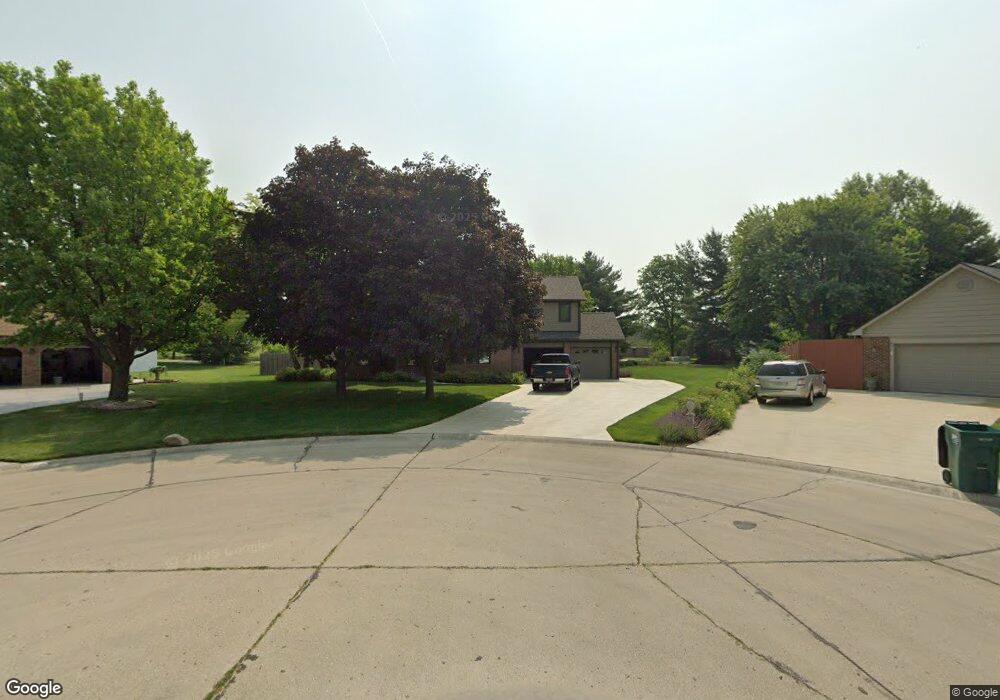
1924 Barbie Ct Franklin, IN 46131
Estimated Value: $409,000 - $473,000
3
Beds
2
Baths
2,342
Sq Ft
$190/Sq Ft
Est. Value
About This Home
This home is located at 1924 Barbie Ct, Franklin, IN 46131 and is currently estimated at $444,939, approximately $189 per square foot. 1924 Barbie Ct is a home located in Johnson County with nearby schools including Needham Elementary School, Franklin Community Middle School, and Custer Baker Intermediate School.
Ownership History
Date
Name
Owned For
Owner Type
Purchase Details
Closed on
Dec 30, 2009
Sold by
Baker Robert K
Bought by
Lindsey Jerry L and Lindsey Deborah
Current Estimated Value
Home Financials for this Owner
Home Financials are based on the most recent Mortgage that was taken out on this home.
Original Mortgage
$85,000
Interest Rate
4.78%
Mortgage Type
New Conventional
Purchase Details
Closed on
Aug 27, 2009
Sold by
Baker Barbara A
Bought by
Baker Robert K
Create a Home Valuation Report for This Property
The Home Valuation Report is an in-depth analysis detailing your home's value as well as a comparison with similar homes in the area
Home Values in the Area
Average Home Value in this Area
Purchase History
| Date | Buyer | Sale Price | Title Company |
|---|---|---|---|
| Lindsey Jerry L | -- | None Available | |
| Baker Robert K | -- | None Available |
Source: Public Records
Mortgage History
| Date | Status | Borrower | Loan Amount |
|---|---|---|---|
| Closed | Lindsey Jerry L | $85,000 |
Source: Public Records
Tax History Compared to Growth
Tax History
| Year | Tax Paid | Tax Assessment Tax Assessment Total Assessment is a certain percentage of the fair market value that is determined by local assessors to be the total taxable value of land and additions on the property. | Land | Improvement |
|---|---|---|---|---|
| 2025 | $4,073 | $369,800 | $51,800 | $318,000 |
| 2024 | $4,073 | $365,200 | $51,800 | $313,400 |
| 2023 | $4,497 | $358,400 | $51,800 | $306,600 |
| 2022 | $4,357 | $337,600 | $47,900 | $289,700 |
| 2021 | $4,067 | $294,000 | $47,900 | $246,100 |
| 2020 | $3,359 | $251,700 | $47,900 | $203,800 |
| 2019 | $2,603 | $231,400 | $47,900 | $183,500 |
| 2018 | $2,340 | $228,500 | $47,900 | $180,600 |
| 2017 | $2,171 | $213,800 | $47,900 | $165,900 |
| 2016 | $2,031 | $203,600 | $47,900 | $155,700 |
| 2014 | $1,965 | $196,400 | $47,900 | $148,500 |
| 2013 | $1,965 | $196,100 | $47,900 | $148,200 |
Source: Public Records
Map
Nearby Homes
- 1990 Red Oak Dr
- 1682 Millpond Ln
- 1669 Millpond Ln
- 1646 Millpond Ln
- 1636 Millpond Ln
- 1679 Millpond Ln
- 1690 Millpond Ln
- 1642 Millpond Ln
- 1663 Millpond Ln
- 1640 Millpond Ln
- 1650 Millpond Ln
- 1654 Millpond Ln
- 1660 Millpond Ln
- 1653 Millpond Ln
- 1686 Millpond Ln
- 1630 Millpond Ln
- 1692 Millpond Ln
- 1658 Millpond Ln
- 1627 Millpond Ln
- 1634 Millpond Ln
- 1921 Barbie Ct
- 1920 Barbie Ct
- 1914 Barbie Ct
- 1930 Red Oak Dr
- 1911 Barbie Ct
- 1924 Red Oak Dr
- 1910 Barbie Ct
- 1918 Red Oak Dr
- 1936 Red Oak Dr
- 1905 Barbie Ct
- 1904 Barbie Ct
- 1912 Red Oak Dr
- 1942 Red Oak Dr
- 1505 Paris Dr
- 1445 Paris Dr
- 1923 Red Oak Dr
- 1948 Red Oak Dr
- 1917 Red Oak Dr
- 1931 Red Oak Dr
- 1415 Paris Dr