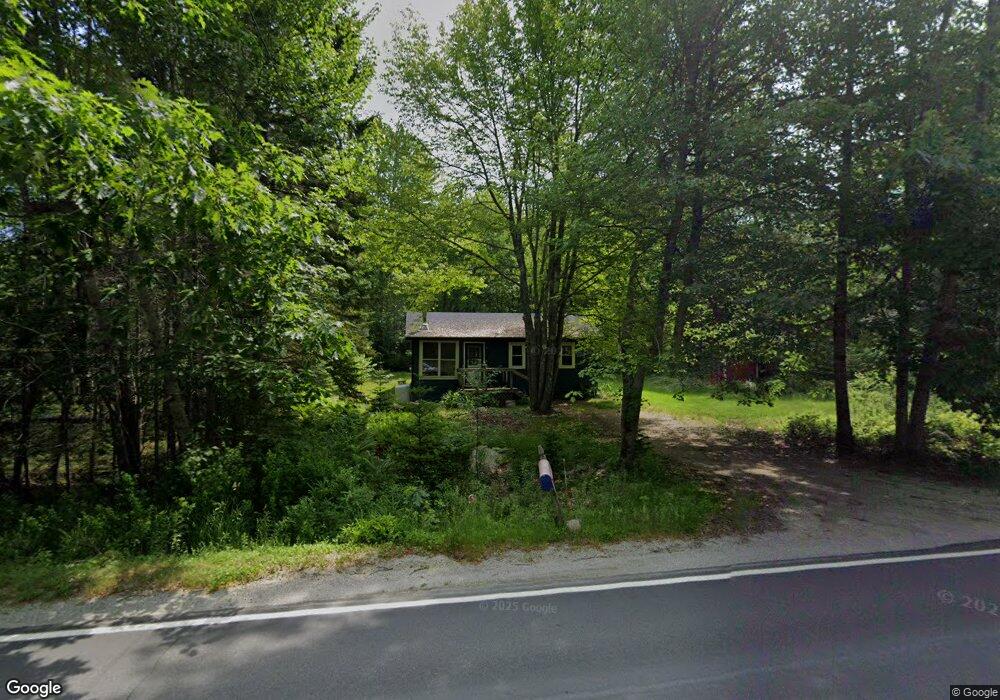
1924 Bayside Rd Trenton, ME 04605
Estimated Value: $245,252 - $378,000
2
Beds
1
Bath
768
Sq Ft
$408/Sq Ft
Est. Value
About This Home
This home is located at 1924 Bayside Rd, Trenton, ME 04605 and is currently estimated at $313,063, approximately $407 per square foot. 1924 Bayside Rd is a home located in Hancock County with nearby schools including Trenton Elementary School.
Ownership History
Date
Name
Owned For
Owner Type
Purchase Details
Closed on
Sep 6, 2019
Sold by
King Alison M
Bought by
Bayside Bungalow Llc
Current Estimated Value
Purchase Details
Closed on
May 23, 2006
Sold by
Gibbons John F
Bought by
King Allison M
Home Financials for this Owner
Home Financials are based on the most recent Mortgage that was taken out on this home.
Original Mortgage
$29,100
Interest Rate
6.42%
Mortgage Type
Commercial
Create a Home Valuation Report for This Property
The Home Valuation Report is an in-depth analysis detailing your home's value as well as a comparison with similar homes in the area
Home Values in the Area
Average Home Value in this Area
Purchase History
| Date | Buyer | Sale Price | Title Company |
|---|---|---|---|
| Bayside Bungalow Llc | -- | -- | |
| King Allison M | -- | -- |
Source: Public Records
Mortgage History
| Date | Status | Borrower | Loan Amount |
|---|---|---|---|
| Previous Owner | King Allison M | $29,100 | |
| Previous Owner | King Allison M | $116,400 |
Source: Public Records
Tax History Compared to Growth
Tax History
| Year | Tax Paid | Tax Assessment Tax Assessment Total Assessment is a certain percentage of the fair market value that is determined by local assessors to be the total taxable value of land and additions on the property. | Land | Improvement |
|---|---|---|---|---|
| 2024 | $1,706 | $145,200 | $62,700 | $82,500 |
| 2023 | $1,460 | $97,100 | $41,800 | $55,300 |
| 2022 | $1,353 | $97,100 | $41,800 | $55,300 |
| 2021 | $1,330 | $97,100 | $41,800 | $55,300 |
| 2020 | $1,293 | $97,100 | $41,800 | $55,300 |
| 2019 | $1,156 | $97,100 | $41,800 | $55,300 |
| 2018 | $1,158 | $107,600 | $41,800 | $65,800 |
| 2017 | $1,080 | $107,600 | $41,800 | $65,800 |
| 2016 | $1,076 | $107,300 | $41,800 | $65,500 |
| 2015 | $1,090 | $106,900 | $41,800 | $65,100 |
| 2014 | $1,094 | $107,300 | $41,800 | $65,500 |
| 2013 | $1,093 | $105,100 | $41,800 | $63,300 |
Source: Public Records
Map
Nearby Homes
- 48 Sheltons Rd
- 35 Nutting Ln
- 26 Pressey Ln
- 58 Pressey Ln
- 001-108 Oak Point Rd
- 53 Woodland Dr
- 31 Daybreak Ln
- 363 Oak Point Rd
- 37 Hanna Dr
- 005 Newbury Neck Rd
- 1274 Bayside Rd
- 16 Blodgett Dr
- 16 Blodgett Ln
- 0 Country Way
- 1439 State Highway 102
- Lot 3 Bear Springs Ln
- Lot 38 Arrowhead Rd
- Lot 5 Aspen Way
- Lot 7 Aspen Way
- Lot 79-01 Knox Rd
- 1910 Bayside Rd
- 1909 Bayside Rd
- 1904 Bayside Rd
- 1917 Bayside Rd
- 1942 Bayside Rd
- 1903 Bayside Rd
- 18 Rothry Rd
- 1944 Bayside Rd
- 25 Heather Cove Ln
- 200 Nutting Ln
- 1954 Bayside Rd
- 15 Heather Cove Ln
- 14 Heather Cove Rd
- 22 Rothry Rd
- 25 Twin Pines Ln
- 1900 Bayside Rd
- 12 Heather Cove Ln
- 14 Heather Cove Ln
- 50 Heather Cove Ln
- 11 Twin Pines Ln