1924 Grant Place Port Huron, MI 48060
Estimated Value: $178,000 - $209,000
3
Beds
3
Baths
1,560
Sq Ft
$127/Sq Ft
Est. Value
About This Home
This home is located at 1924 Grant Place, Port Huron, MI 48060 and is currently estimated at $197,807, approximately $126 per square foot. 1924 Grant Place is a home located in St. Clair County with nearby schools including Cleveland Elementary School, Central Middle School, and Port Huron High School.
Ownership History
Date
Name
Owned For
Owner Type
Purchase Details
Closed on
Mar 21, 2025
Sold by
Crews Broderick
Bought by
Bj Crews Trust
Current Estimated Value
Purchase Details
Closed on
Jan 7, 2010
Sold by
Spear Timothy D and Spear Carol S
Bought by
Household Finance Corporation Iii
Purchase Details
Closed on
Apr 26, 2007
Sold by
Spear Carol S and Spear Timothy D
Bought by
Wells Fargo Bank National Association
Create a Home Valuation Report for This Property
The Home Valuation Report is an in-depth analysis detailing your home's value as well as a comparison with similar homes in the area
Home Values in the Area
Average Home Value in this Area
Purchase History
| Date | Buyer | Sale Price | Title Company |
|---|---|---|---|
| Bj Crews Trust | -- | None Listed On Document | |
| Household Finance Corporation Iii | $38,256 | None Available | |
| Wells Fargo Bank National Association | $67,450 | None Available |
Source: Public Records
Tax History Compared to Growth
Tax History
| Year | Tax Paid | Tax Assessment Tax Assessment Total Assessment is a certain percentage of the fair market value that is determined by local assessors to be the total taxable value of land and additions on the property. | Land | Improvement |
|---|---|---|---|---|
| 2025 | $2,381 | $93,900 | $0 | $0 |
| 2024 | $2,034 | $91,700 | $0 | $0 |
| 2023 | $1,921 | $81,400 | $0 | $0 |
| 2022 | $2,028 | $70,000 | $0 | $0 |
| 2021 | $1,925 | $64,500 | $0 | $0 |
| 2020 | $1,947 | $61,100 | $61,100 | $0 |
| 2019 | $1,912 | $44,400 | $0 | $0 |
| 2018 | $1,870 | $44,400 | $0 | $0 |
| 2017 | $1,669 | $40,200 | $0 | $0 |
| 2016 | $1,429 | $40,200 | $0 | $0 |
| 2015 | $1,402 | $41,100 | $41,100 | $0 |
| 2014 | $1,402 | $39,400 | $39,400 | $0 |
| 2013 | -- | $38,500 | $0 | $0 |
Source: Public Records
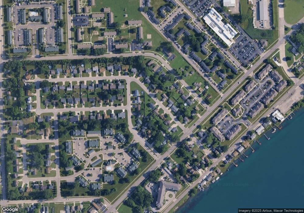
Map
Nearby Homes
- 3136 Military St
- 3230 Ashland Ct
- 9999 Cleveland Ave
- 2506 Vanness St
- 2511 Vanness St
- 2513 Vanness St
- 2600 Vanness St
- 2702 Vanness St
- 2627 24th St
- 3830 Military St
- 2752 Military St
- 1403 Catherine McAuley Dr
- 2724 Military St
- 2718 Electric Ave
- 2704 Military St
- 0 Dove Rd Unit G31368528
- 000 Gratiot Blvd
- 00 Gratiot Blvd
- 9999 24th St
- Lot 3 24th St
- 1918 Grant Place
- 1929 Lakewood Ave
- 1912 Grant Place
- 1933 Lakewood Ave
- 1925 Lakewood Ave
- 1919 Grant Place
- 1931 Grant Place
- 1937 Lakewood Ave
- 1921 Lakewood Ave
- 1913 Grant Place
- 1917 Lakewood Ave
- 1935 Grant Place
- 1928 Roselawn Ct
- 1913 Lakewood Ave
- 3307 Electric Ave
- 1939 Grant Place
- 1922 Roselawn Ct
- 1909 Grant Place
- 1846 Grant Place
- 1938 Roselawn Ct