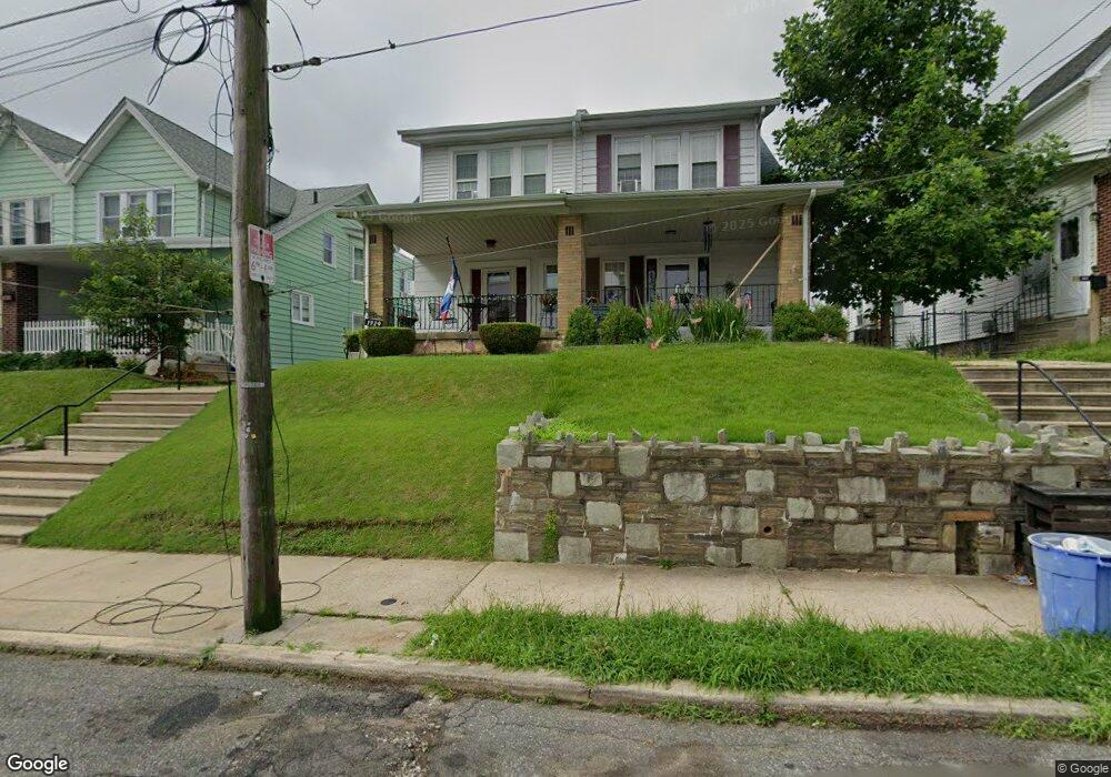
1924 Lansing St Philadelphia, PA 19111
Rhawnhurst NeighborhoodEstimated Value: $276,320 - $331,000
--
Bed
--
Bath
1,486
Sq Ft
$210/Sq Ft
Est. Value
About This Home
This home is located at 1924 Lansing St, Philadelphia, PA 19111 and is currently estimated at $311,330, approximately $209 per square foot. 1924 Lansing St is a home located in Philadelphia County with nearby schools including Rhawnhurst School, Castor Gardens Middle School, and Northeast High School.
Ownership History
Date
Name
Owned For
Owner Type
Purchase Details
Closed on
Oct 24, 2002
Sold by
Willie Richard
Bought by
Willie Richard and Willie Barbara
Current Estimated Value
Home Financials for this Owner
Home Financials are based on the most recent Mortgage that was taken out on this home.
Original Mortgage
$85,000
Interest Rate
6.09%
Create a Home Valuation Report for This Property
The Home Valuation Report is an in-depth analysis detailing your home's value as well as a comparison with similar homes in the area
Home Values in the Area
Average Home Value in this Area
Purchase History
| Date | Buyer | Sale Price | Title Company |
|---|---|---|---|
| Willie Richard | -- | -- |
Source: Public Records
Mortgage History
| Date | Status | Borrower | Loan Amount |
|---|---|---|---|
| Closed | Willie Richard | $85,000 |
Source: Public Records
Tax History Compared to Growth
Tax History
| Year | Tax Paid | Tax Assessment Tax Assessment Total Assessment is a certain percentage of the fair market value that is determined by local assessors to be the total taxable value of land and additions on the property. | Land | Improvement |
|---|---|---|---|---|
| 2025 | $3,227 | $285,000 | $57,000 | $228,000 |
| 2024 | $3,227 | $285,000 | $57,000 | $228,000 |
| 2023 | $3,227 | $230,500 | $46,100 | $184,400 |
| 2022 | $1,953 | $185,500 | $46,100 | $139,400 |
| 2021 | $2,583 | $0 | $0 | $0 |
| 2020 | $2,583 | $0 | $0 | $0 |
| 2019 | $2,352 | $0 | $0 | $0 |
| 2018 | $1,820 | $0 | $0 | $0 |
| 2017 | $2,240 | $0 | $0 | $0 |
| 2016 | $1,820 | $0 | $0 | $0 |
| 2015 | $1,742 | $0 | $0 | $0 |
| 2014 | -- | $160,000 | $39,949 | $120,051 |
| 2012 | -- | $23,648 | $6,183 | $17,465 |
Source: Public Records
Map
Nearby Homes
- 1919 Lansing St
- 1920 Hartel Ave
- 7735 Loretto Ave
- 1834 Lansing St
- 1826 Hartel Ave
- 2023 Hartel Ave
- 1821 Afton St
- 1807 Napfle Ave
- 1824 Afton St
- 7912 14 Loretto Ave
- 7528 Loretto Ave
- 2120 Napfle St
- 1858 Glendale Ave
- 1819 Oakmont St
- 1714 Afton St
- 2029 Loney St
- 7815 Horrocks St
- 1813 Glendale Ave
- 7714 Summerdale Ave
- 7414 Castor Ave
- 1926 Lansing St
- 1922 Lansing St
- 1928 Lansing St
- 1920 Lansing St
- 1918 Lansing St
- 1916 Lansing St
- 1917 Napfle Ave
- 1919 Napfle Ave
- 7638 Castor Ave
- 7640 Castor Ave
- 1914 Lansing St
- 7628 Castor Ave
- 1915 Napfle Ave
- 1912 Lansing St
- 1923-25 Lansing St
- 1923 Lansing St Unit 25
- 1927-29 Lansing St
- 1927 Lansing St Unit 29
- 1913 Napfle Ave
- 1921 Lansing St