
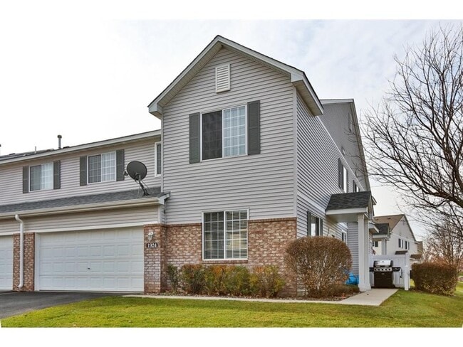
1924 Mockingbird Ave Shakopee, MN 55379
2
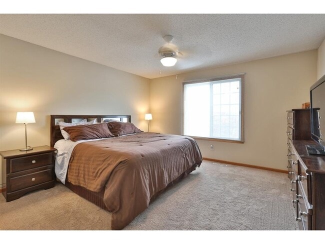
Beds
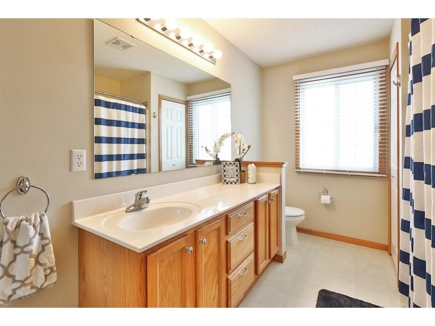
1.5
Baths
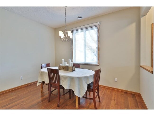
1,540
Sq Ft
871
Sq Ft Lot
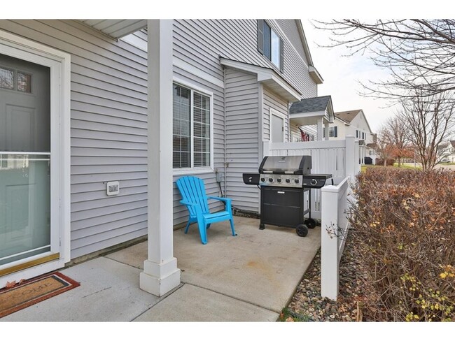
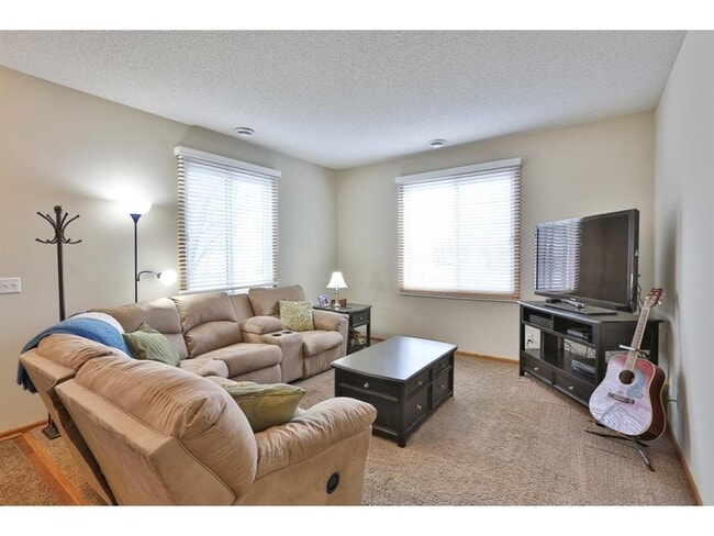
About This Home
Great 2 Bedroom 1.5 Bath Townhome . This beautiful home is available Nov 15th. Ask about our flexible move-in date options.
Tall Ceilings
Versatile Loft Area
Huge Master with Walk Through Bath
Easy Access to 169, Close to School, Parks and Shopping Centers
Two car garage with built-in storage
Flexible lease terms. Resident pays electricity and heat (internet, cable is optional). Owner pays trash, snow removal, water and lawn care.
With Target, Caribou and Kohl's plus other fine retailers within walking distance, this townhouse is in a great location!
Pet friendly with a maximum of two pet accepted.
Contact us today for more deta
Listing Provided By

Map
Nearby Homes
- 1996 Downing Ave
- 2148 Mcgregor Ln
- 2152 Limerick Ln
- 1616 Wexford Ln Unit 22
- 1552 Dublin Ct
- 2410 Downing Ave
- 2488 Downing Ave
- 2495 Tyrone Dr
- 2471 Tyrone Dr
- 2263 Tyrone Dr
- 2255 Tyrone Dr
- 1511 England Way
- 2247 Tyrone Dr
- 2239 Tyrone Dr
- 2312 Vierling Dr E
- 2147 Ponds Way
- 2187 Tyrone Dr
- 2159 Tyrone Dr
- 2388 Vierling Dr E
- 2006 Tyrone Dr
- 1239 Elmwood Ave
- 1823 Evergreen Ln
- 1767 Hauer Trail
- 1775 Hauer Trail
- 676 Cobblestone Way
- 2900 Winners Circle Dr
- 935 Alysheba Rd
- 1411 10th Ave E
- 1610 Emblem Way
- 1224 Shakopee Ave E
- 2248 Affirmed Dr
- 840 Shenandoah Dr
- 1245 Shakopee Ave E
- 1324 Eagle Creek Blvd
- 118 S Shannon Dr
- 931 Market St S
- 628 Gorman St
- 560 Gorman St
- 335 Shakopee Ave E
- 609 Market St S