1924 Perkins St Bristol, CT 06010
North Bristol NeighborhoodEstimated Value: $358,000 - $990,510
4
Beds
5
Baths
3,716
Sq Ft
$209/Sq Ft
Est. Value
About This Home
This home is located at 1924 Perkins St, Bristol, CT 06010 and is currently estimated at $777,128, approximately $209 per square foot. 1924 Perkins St is a home located in Hartford County with nearby schools including Edgewood School, Chippens Hill Middle School, and Bristol Central High School.
Ownership History
Date
Name
Owned For
Owner Type
Purchase Details
Closed on
Jun 7, 2001
Sold by
Rimkus Clifford and Rimkus Rebecca Ann
Bought by
Green Acres Farm
Current Estimated Value
Create a Home Valuation Report for This Property
The Home Valuation Report is an in-depth analysis detailing your home's value as well as a comparison with similar homes in the area
Home Values in the Area
Average Home Value in this Area
Purchase History
| Date | Buyer | Sale Price | Title Company |
|---|---|---|---|
| Green Acres Farm | $139,269 | -- |
Source: Public Records
Mortgage History
| Date | Status | Borrower | Loan Amount |
|---|---|---|---|
| Open | Green Acres Farm | $275,000 | |
| Closed | Green Acres Farm | $200,000 | |
| Closed | Green Acres Farm | $250,000 | |
| Previous Owner | Green Acres Farm | $2,000,000 |
Source: Public Records
Tax History Compared to Growth
Tax History
| Year | Tax Paid | Tax Assessment Tax Assessment Total Assessment is a certain percentage of the fair market value that is determined by local assessors to be the total taxable value of land and additions on the property. | Land | Improvement |
|---|---|---|---|---|
| 2025 | $17,776 | $526,710 | $162,850 | $363,860 |
| 2024 | $15,973 | $501,510 | $162,850 | $338,660 |
| 2023 | $15,221 | $501,510 | $162,850 | $338,660 |
| 2022 | $14,527 | $378,810 | $136,120 | $242,690 |
| 2021 | $14,527 | $378,810 | $136,120 | $242,690 |
| 2020 | $14,527 | $378,810 | $136,120 | $242,690 |
| 2019 | $14,414 | $378,810 | $136,120 | $242,690 |
| 2018 | $13,971 | $378,810 | $136,120 | $242,690 |
| 2017 | $14,506 | $402,620 | $192,900 | $209,720 |
| 2016 | $14,506 | $402,620 | $192,900 | $209,720 |
| 2015 | $13,935 | $402,620 | $192,900 | $209,720 |
| 2014 | $13,935 | $402,620 | $192,900 | $209,720 |
Source: Public Records
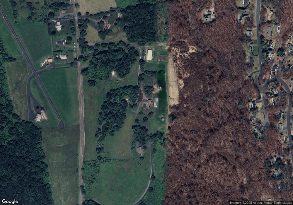
Map
Nearby Homes
- 276 Hart St
- 116 Larkspur Ln
- 62 (Lot 13-1) James P Casey Rd
- 0 Hart St Unit 170255530
- 114 El Toro Dr
- 1970 Perkins St
- 90 Battle St
- 126 Harvard Place
- 6 El Toro Dr
- 35 James P Casey Rd
- 439 James P Casey Rd
- 68 Hart St
- 8 Briar Cliff
- 15 Bittersweet Ln
- 335 Pennwood Place
- 454 Maple Ave
- 48 Boivin St
- 66 Intervale Rd
- 15 Jan Rd
- 146 Perkins St
- 1930 Perkins St
- 1900 Perkins St
- 1960 Perkins St
- 1939 Perkins St
- 311 Westwood Rd
- 199 Westwood Rd
- 14 Skyview Terrace
- 1975 Perkins St
- 963 Perkins St
- 183 Westwood Rd
- 38 Skyview Terrace
- 1977 Perkins St
- 1 Skyview Terrace
- 211 Westwood Rd
- 27 Skyview Terrace
- 225 Westwood Rd
- 1760 Perkins St
- 165 Southdown Dr
- 164 Southdown Dr
- 317 Westwood Rd