1924 Southern Cir Unit 1082 Pingree Grove, IL 60140
Estimated Value: $287,187 - $314,000
2
Beds
2
Baths
1,332
Sq Ft
$225/Sq Ft
Est. Value
About This Home
This home is located at 1924 Southern Cir Unit 1082, Pingree Grove, IL 60140 and is currently estimated at $299,797, approximately $225 per square foot. 1924 Southern Cir Unit 1082 is a home located in Kane County with nearby schools including Hampshire Middle School, Hampshire High School, and Cambridge Lakes Charter School.
Ownership History
Date
Name
Owned For
Owner Type
Purchase Details
Closed on
Jul 10, 2020
Sold by
Hub Jon C and Hub Dawn L
Bought by
Bruketa Diane C
Current Estimated Value
Home Financials for this Owner
Home Financials are based on the most recent Mortgage that was taken out on this home.
Original Mortgage
$180,500
Outstanding Balance
$160,115
Interest Rate
3.12%
Mortgage Type
New Conventional
Estimated Equity
$139,682
Purchase Details
Closed on
Jun 24, 2019
Sold by
Dr Horton Inc
Bought by
Cordina Hub Dawn L and Hub Jon C
Home Financials for this Owner
Home Financials are based on the most recent Mortgage that was taken out on this home.
Original Mortgage
$143,220
Interest Rate
4%
Mortgage Type
New Conventional
Create a Home Valuation Report for This Property
The Home Valuation Report is an in-depth analysis detailing your home's value as well as a comparison with similar homes in the area
Home Values in the Area
Average Home Value in this Area
Purchase History
| Date | Buyer | Sale Price | Title Company |
|---|---|---|---|
| Bruketa Diane C | $190,000 | Chicago Title | |
| Cordina Hub Dawn L | $191,000 | First American Title |
Source: Public Records
Mortgage History
| Date | Status | Borrower | Loan Amount |
|---|---|---|---|
| Open | Bruketa Diane C | $180,500 | |
| Previous Owner | Cordina Hub Dawn L | $143,220 |
Source: Public Records
Tax History Compared to Growth
Tax History
| Year | Tax Paid | Tax Assessment Tax Assessment Total Assessment is a certain percentage of the fair market value that is determined by local assessors to be the total taxable value of land and additions on the property. | Land | Improvement |
|---|---|---|---|---|
| 2024 | $3,181 | $82,455 | $20,937 | $61,518 |
| 2023 | $3,397 | $74,566 | $18,934 | $55,632 |
| 2022 | $3,834 | $68,750 | $17,457 | $51,293 |
| 2021 | $3,981 | $64,663 | $16,419 | $48,244 |
| 2020 | $4,546 | $63,012 | $16,000 | $47,012 |
| 2019 | $1,964 | $25,625 | $506 | $25,119 |
| 2018 | $38 | $475 | $475 | $0 |
Source: Public Records
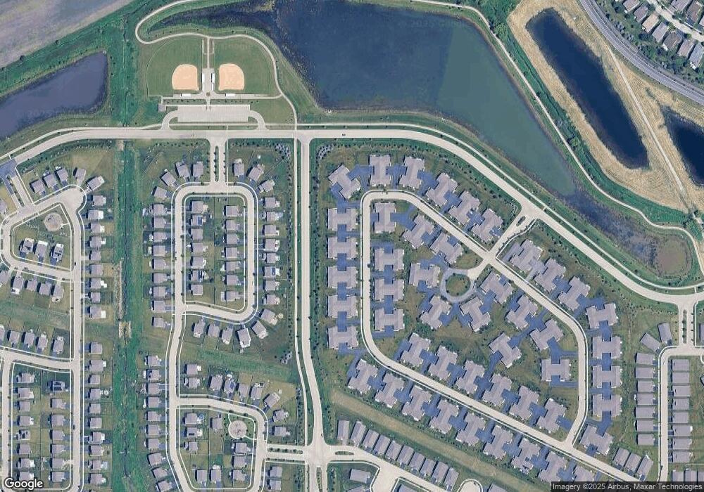
Map
Nearby Homes
- 1731 Dempsey Cir
- 1482 Hollow Tree Ln
- 932 Clover Ln
- 1385 Broadland Dr
- 1286 Newport Cir
- 920 Prescott Ln
- 1173 Sonoma Ct
- 1150 Americana Ave
- 672 N Falls Cir
- 1157 Clearwater Dr
- 898 Emerald Dr
- 870 Prescott Ln
- 955 Emerald Dr
- 1055 Williamsburg St
- 1071 Williamsburg St
- 2375 Glacier St
- 1057 Williamsburg St
- 2377 Glacier St
- 1641 Sandcastle Ln
- 2391 Glacier St
- 1930 Southern Cir Unit 1081
- 1926 Southern Cir Unit 1083
- 1908 Southern Cir Unit 1908
- 1928 Southern Cir
- 1906 Southern Cir
- 1902 Southern Cir Unit 1072
- 1946 Southern Cir Unit 1092
- 1948 Southern Cir
- 1904 Southern Cir Unit 1073
- 1941 Southern Cir Unit 1411
- 1909 Southern Cir
- 1947 Southern Cir Unit 1412
- 1952 Southern Cir
- 1950 Southern Cir
- 1905 Southern Cir Unit 1422
- 1943 Southern Cir
- 1886 Southern Cir Unit 1
- 1886 Southern Cir
- 1845 Southern Cir Unit 1421
- 1945 Southern Cir Unit 1413