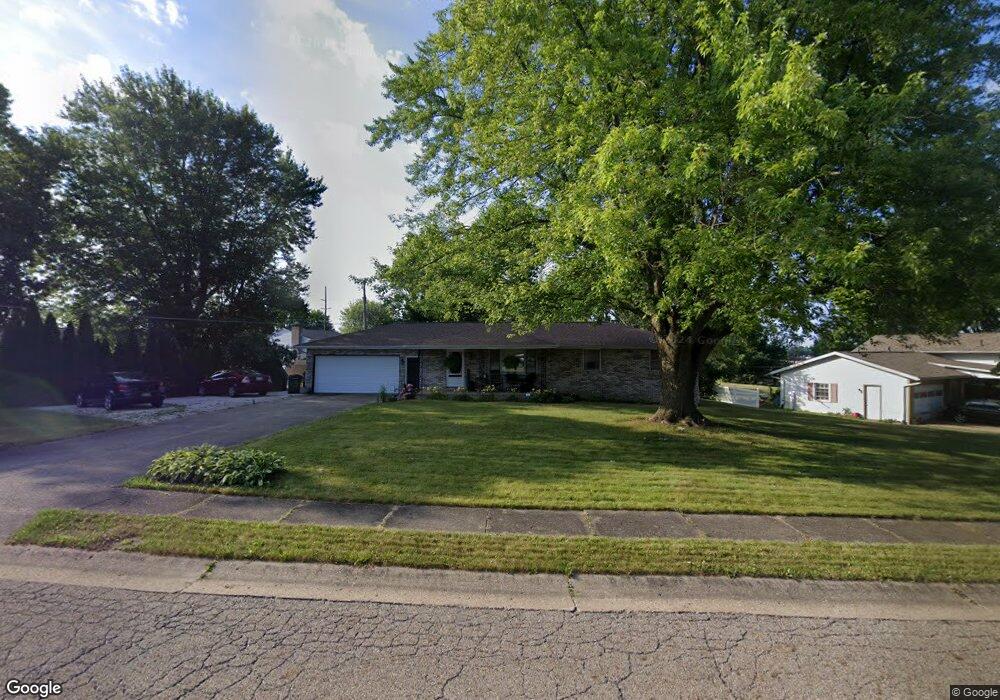
1924 Walsh St Louisville, OH 44641
Estimated Value: $225,000 - $255,000
3
Beds
2
Baths
1,248
Sq Ft
$190/Sq Ft
Est. Value
About This Home
This home is located at 1924 Walsh St, Louisville, OH 44641 and is currently estimated at $237,539, approximately $190 per square foot. 1924 Walsh St is a home located in Stark County with nearby schools including Louisville High School and St. Thomas Aquinas High School & Middle School.
Ownership History
Date
Name
Owned For
Owner Type
Purchase Details
Closed on
Oct 17, 2020
Sold by
Hlava Matthew R
Bought by
Hlavava Tracie L
Current Estimated Value
Purchase Details
Closed on
Jul 28, 2006
Sold by
Edwards James L and Edwards Dorothy R
Bought by
Hlava Matthew R and Hlava Tracie L
Home Financials for this Owner
Home Financials are based on the most recent Mortgage that was taken out on this home.
Original Mortgage
$120,000
Interest Rate
8.25%
Mortgage Type
Balloon
Create a Home Valuation Report for This Property
The Home Valuation Report is an in-depth analysis detailing your home's value as well as a comparison with similar homes in the area
Home Values in the Area
Average Home Value in this Area
Purchase History
| Date | Buyer | Sale Price | Title Company |
|---|---|---|---|
| Hlavava Tracie L | $25,000 | None Available | |
| Hlava Matthew R | $150,000 | None Available |
Source: Public Records
Mortgage History
| Date | Status | Borrower | Loan Amount |
|---|---|---|---|
| Previous Owner | Hlava Matthew R | $120,000 |
Source: Public Records
Tax History Compared to Growth
Tax History
| Year | Tax Paid | Tax Assessment Tax Assessment Total Assessment is a certain percentage of the fair market value that is determined by local assessors to be the total taxable value of land and additions on the property. | Land | Improvement |
|---|---|---|---|---|
| 2025 | -- | $68,750 | $19,640 | $49,110 |
| 2024 | -- | $68,750 | $19,640 | $49,110 |
| 2023 | $2,346 | $54,600 | $15,330 | $39,270 |
| 2022 | $2,352 | $54,600 | $15,330 | $39,270 |
| 2021 | $2,359 | $54,600 | $15,330 | $39,270 |
| 2020 | $1,958 | $49,210 | $13,790 | $35,420 |
| 2019 | $1,966 | $51,770 | $16,350 | $35,420 |
| 2018 | $2,060 | $51,770 | $16,350 | $35,420 |
| 2017 | $1,868 | $45,300 | $13,550 | $31,750 |
| 2016 | $1,906 | $45,300 | $13,550 | $31,750 |
| 2015 | $1,912 | $45,300 | $13,550 | $31,750 |
| 2014 | $1,894 | $41,720 | $12,460 | $29,260 |
| 2013 | $951 | $41,720 | $12,460 | $29,260 |
Source: Public Records
Map
Nearby Homes
- 1561 Noel St
- 6285 California Ave
- 0 Pilot Knob Ave NE
- 0 Brookridge Ave
- 0 Glenbar St
- 5700 Broadway Ave
- 704 Reno Dr
- 5623 Shallow Creek Ave
- 300 Kennedy St
- 6083 Apple St
- 248 Menegay Rd
- 3047 Mcintosh Dr NE
- 2950 Mcintosh Dr NE
- 2956 Mcintosh Dr NE
- 2962 Mcintosh Dr NE
- 2951 Mcintosh Dr NE
- 2963 Mcintosh Dr NE
- 430 Honeycrisp Dr NE
- 428 Honeycrisp Dr NE
- 432 Honeycrisp Dr NE
- 2010 Walsh St
- 1579 California Ave
- 1606 Malone St
- 1609 Malone St
- 1569 California Ave
- 1605 California Ave
- 1618 Malone St
- 2017 Walsh St
- 1619 Malone St
- 2018 Walsh St
- 1559 California Ave
- 1617 California Ave
- 1626 Malone St
- 2026 Walsh St
- 2027 Walsh St
- 1549 California Ave
- 1634 Malone St
- 1631 Malone St
- 1627 California Ave
- 2032 Walsh St