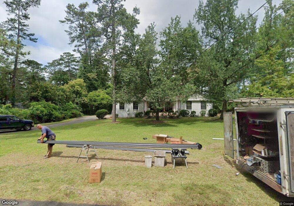
1924 Waverland Dr Macon, GA 31211
Shirley Hills Historic District NeighborhoodEstimated Value: $258,000 - $264,327
3
Beds
3
Baths
3,093
Sq Ft
$85/Sq Ft
Est. Value
About This Home
This home is located at 1924 Waverland Dr, Macon, GA 31211 and is currently estimated at $262,082, approximately $84 per square foot. 1924 Waverland Dr is a home located in Bibb County with nearby schools including Martin Luther King Jr. Elementary School, Appling Middle School, and Northeast High School.
Ownership History
Date
Name
Owned For
Owner Type
Purchase Details
Closed on
Dec 22, 2008
Sold by
Grum Allen F and Grum Jane P
Bought by
Ranson Pete
Current Estimated Value
Home Financials for this Owner
Home Financials are based on the most recent Mortgage that was taken out on this home.
Original Mortgage
$121,600
Outstanding Balance
$79,900
Interest Rate
6.1%
Mortgage Type
Unknown
Estimated Equity
$182,182
Create a Home Valuation Report for This Property
The Home Valuation Report is an in-depth analysis detailing your home's value as well as a comparison with similar homes in the area
Home Values in the Area
Average Home Value in this Area
Purchase History
| Date | Buyer | Sale Price | Title Company |
|---|---|---|---|
| Ranson Pete | $152,000 | None Available |
Source: Public Records
Mortgage History
| Date | Status | Borrower | Loan Amount |
|---|---|---|---|
| Open | Ranson Pete | $121,600 |
Source: Public Records
Tax History Compared to Growth
Tax History
| Year | Tax Paid | Tax Assessment Tax Assessment Total Assessment is a certain percentage of the fair market value that is determined by local assessors to be the total taxable value of land and additions on the property. | Land | Improvement |
|---|---|---|---|---|
| 2025 | $2,093 | $92,179 | $19,760 | $72,419 |
| 2024 | $2,047 | $87,619 | $15,200 | $72,419 |
| 2023 | $2,108 | $78,173 | $15,200 | $62,973 |
| 2022 | $2,514 | $79,622 | $12,857 | $66,765 |
| 2021 | $2,593 | $75,230 | $11,688 | $63,542 |
| 2020 | $2,327 | $66,942 | $11,688 | $55,254 |
| 2019 | $2,233 | $64,056 | $11,104 | $52,952 |
| 2018 | $3,254 | $58,282 | $9,935 | $48,347 |
| 2017 | $1,921 | $58,282 | $9,935 | $48,347 |
| 2016 | $1,815 | $59,451 | $11,104 | $48,347 |
| 2015 | $2,569 | $59,451 | $11,104 | $48,347 |
| 2014 | $1,056 | $62,338 | $11,688 | $50,649 |
Source: Public Records
Map
Nearby Homes
- 1964 Woodland Dr
- 1728 Waverland Cir
- 1755 Waverland Cir
- 1916 Flintwood Dr
- 1575 Briarcliff Rd
- 1485 Lone Oak Dr
- 1831 Upper River Rd
- 1957 Deerwood Place
- 1949 Deerwood Place
- 1965 Deerwood Place
- 1735 Foster Place
- 1715 Foster Place
- 1746 Upper River Rd
- 1435 Twin Pines Dr
- 1464 Twin Pines Dr
- 1615 Engle Dr
- 1585 Engle Dr
- 1910 Waverland Dr
- 1946 Waverland Dr
- 1882 Waverland Cir
- 1907 Waverland Dr
- 1888 Waverland Dr
- 1935 Waverland Dr
- 1876 Waverland Cir
- 1872 Waverland Dr
- 1870 Waverland Cir
- 1873 Waverland Cir
- 1873 Waverland Dr
- 1985 Waverland Dr
- 1868 Waverland Dr
- 1867 Waverland Cir
- 1976 Woodland Dr
- 1864 Waverland Cir
- 1970 Woodland Dr
- 1861 Waverland Cir
- 1861 Waverland Cir Unit 1861 Waverland Cir
- 1862 Waverland Dr