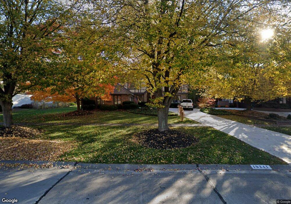
19241 Saratoga Trail Strongsville, OH 44136
Estimated Value: $437,000 - $486,000
4
Beds
4
Baths
2,788
Sq Ft
$166/Sq Ft
Est. Value
About This Home
This home is located at 19241 Saratoga Trail, Strongsville, OH 44136 and is currently estimated at $461,952, approximately $165 per square foot. 19241 Saratoga Trail is a home located in Cuyahoga County with nearby schools including Strongsville High School and Saint Ambrose Catholic School.
Ownership History
Date
Name
Owned For
Owner Type
Purchase Details
Closed on
Oct 7, 2020
Sold by
Spaulding David S and Spaulding Susan M
Bought by
Spaulding David S and Spaulding Susan M
Current Estimated Value
Purchase Details
Closed on
May 6, 1999
Sold by
Vlasnik Robert J and Vlasnik Debra S
Bought by
Spaulding David S and Spaulding Susan M
Home Financials for this Owner
Home Financials are based on the most recent Mortgage that was taken out on this home.
Original Mortgage
$181,000
Interest Rate
7.15%
Purchase Details
Closed on
Aug 11, 1994
Sold by
Arter Ann R
Bought by
Vlasnik Robert J and Vlasnik Debra S
Home Financials for this Owner
Home Financials are based on the most recent Mortgage that was taken out on this home.
Original Mortgage
$155,500
Interest Rate
4.62%
Mortgage Type
New Conventional
Purchase Details
Closed on
Oct 30, 1981
Bought by
Arter Ann A
Purchase Details
Closed on
Jan 1, 1981
Bought by
Northeast Land Co
Create a Home Valuation Report for This Property
The Home Valuation Report is an in-depth analysis detailing your home's value as well as a comparison with similar homes in the area
Home Values in the Area
Average Home Value in this Area
Purchase History
| Date | Buyer | Sale Price | Title Company |
|---|---|---|---|
| Spaulding David S | -- | Caputo Donna Ramsey | |
| Spaulding David S | $236,000 | Chicago Title Insurance Comp | |
| Vlasnik Robert J | $225,500 | -- | |
| Arter Ann A | $148,400 | -- | |
| Northeast Land Co | -- | -- |
Source: Public Records
Mortgage History
| Date | Status | Borrower | Loan Amount |
|---|---|---|---|
| Previous Owner | Spaulding David S | $181,000 | |
| Previous Owner | Vlasnik Robert J | $155,500 |
Source: Public Records
Tax History Compared to Growth
Tax History
| Year | Tax Paid | Tax Assessment Tax Assessment Total Assessment is a certain percentage of the fair market value that is determined by local assessors to be the total taxable value of land and additions on the property. | Land | Improvement |
|---|---|---|---|---|
| 2024 | $6,174 | $131,495 | $33,040 | $98,455 |
| 2023 | $6,099 | $95,340 | $26,110 | $69,230 |
| 2022 | $5,926 | $95,340 | $26,110 | $69,230 |
| 2021 | $5,880 | $95,340 | $26,110 | $69,230 |
| 2020 | $6,177 | $86,660 | $23,730 | $62,930 |
| 2019 | $6,000 | $247,600 | $67,800 | $179,800 |
| 2018 | $5,458 | $86,660 | $23,730 | $62,930 |
| 2017 | $5,556 | $81,660 | $20,340 | $61,320 |
| 2016 | $5,512 | $81,660 | $20,340 | $61,320 |
| 2015 | $5,592 | $81,660 | $20,340 | $61,320 |
| 2014 | $5,592 | $81,660 | $20,340 | $61,320 |
Source: Public Records
Map
Nearby Homes
- 16711 Beech Cir
- 3550 Boston Rd
- 18411 Yorktown Oval
- 196 Pinnacle Dr
- 97 Weathervane Ln
- 18848 Pearl Rd
- 17934 Cambridge Oval
- 16486 S Red Rock Dr
- 17682 Drake Rd
- 328 Crestway Oval
- 15604-REAR Boston Rd
- 18294 Drake Rd
- 18229 Howe Rd
- 362 Brantley Ln
- 338 Delaware Dr
- 17159 Turkey Meadow Ln
- 17130 Golden Star Dr
- 19694 Benbow Rd
- 17024 Bear Creek Ln
- 19740 Benbow Rd
- 19269 Saratoga Trail
- 19213 Saratoga Trail
- 17553 Deer Ridge Cir
- 19155 Saratoga Trail
- 19299 Saratoga Trail
- 19230 Saratoga Trail
- 19258 Saratoga Trail
- 19202 Saratoga Trail
- 17531 Deer Ridge Cir
- 17566 Pioneers Creek Cir
- 17462 Pioneers Creek
- 17462 Pioneers Creek Cir
- 17514 Pioneers Creek Cir
- 19286 Saratoga Trail
- 19329 Saratoga Trail
- 17509 Deer Ridge Cir
- 19168 Saratoga Trail
- 17745 Monterey Pine Dr
- 19119 Saratoga Trail
- 17410 Pioneers Creek Cir