19249 S Munson Rd Molalla, OR 97038
Estimated Value: $594,000 - $835,000
2
Beds
2
Baths
1,152
Sq Ft
$612/Sq Ft
Est. Value
About This Home
This home is located at 19249 S Munson Rd, Molalla, OR 97038 and is currently estimated at $705,107, approximately $612 per square foot. 19249 S Munson Rd is a home located in Clackamas County with nearby schools including Colton Elementary School, Colton Middle School, and Colton High School.
Ownership History
Date
Name
Owned For
Owner Type
Purchase Details
Closed on
Feb 9, 2012
Sold by
Ford David M
Bought by
Ford Donna M and Lugar Ronald D
Current Estimated Value
Home Financials for this Owner
Home Financials are based on the most recent Mortgage that was taken out on this home.
Original Mortgage
$90,000
Outstanding Balance
$61,524
Interest Rate
3.92%
Mortgage Type
Purchase Money Mortgage
Estimated Equity
$643,583
Purchase Details
Closed on
Dec 13, 2001
Sold by
Welker Harvey Glenn and Welker Betty Ann
Bought by
Ford David M and Ford Donna
Home Financials for this Owner
Home Financials are based on the most recent Mortgage that was taken out on this home.
Original Mortgage
$126,000
Interest Rate
6.57%
Create a Home Valuation Report for This Property
The Home Valuation Report is an in-depth analysis detailing your home's value as well as a comparison with similar homes in the area
Purchase History
| Date | Buyer | Sale Price | Title Company |
|---|---|---|---|
| Ford Donna M | $10,000 | Lawyers Title | |
| Ford David M | $157,500 | First American Title Ins Co |
Source: Public Records
Mortgage History
| Date | Status | Borrower | Loan Amount |
|---|---|---|---|
| Open | Ford Donna M | $90,000 | |
| Previous Owner | Ford David M | $126,000 |
Source: Public Records
Tax History
| Year | Tax Paid | Tax Assessment Tax Assessment Total Assessment is a certain percentage of the fair market value that is determined by local assessors to be the total taxable value of land and additions on the property. | Land | Improvement |
|---|---|---|---|---|
| 2025 | $2,845 | $235,866 | -- | -- |
| 2024 | $2,857 | $228,999 | -- | -- |
| 2023 | $2,857 | $222,331 | $0 | $0 |
| 2022 | $2,686 | $215,855 | $0 | $0 |
| 2021 | $2,560 | $209,566 | $0 | $0 |
| 2020 | $2,492 | $203,461 | $0 | $0 |
| 2019 | $1,806 | $146,015 | $0 | $0 |
| 2018 | $1,027 | $80,217 | $0 | $0 |
| 2017 | $995 | $77,878 | $0 | $0 |
| 2016 | $935 | $75,611 | $0 | $0 |
Source: Public Records
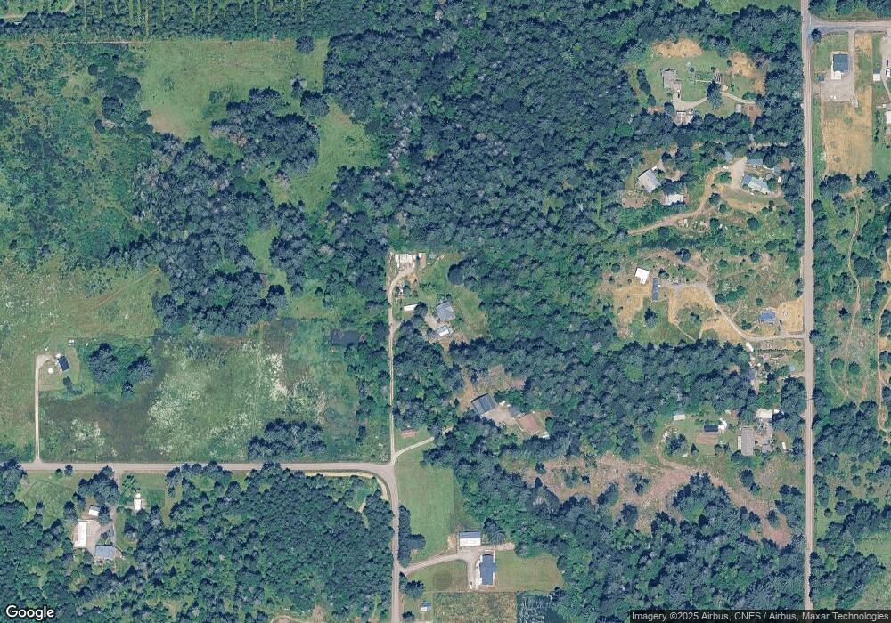
Map
Nearby Homes
- 19221 S Munson Rd
- 30500 S Deardorff Rd
- 19345 S Rockney Rd
- 30725 S Wall St
- 30965 S Wall St
- 19400 S Frank Rd
- 30806 S Grays Hill Rd
- 16454 S Highway 211
- 30187 S Grays Hill Rd
- 29358 S Salo Rd
- 30142 S Meadowbrook Ln
- 28107 S Gard Rd
- 15706 S Highway 211
- 0 S Hult Rd
- 15047 S MacKsburg Rd
- 16302 S Union Mills Rd
- 30641 S Partridge Rd
- 28381 S Salo Rd
- 22816 S Bonney Rd
- 23456 S Schieffer Rd
- 31299 S Dhooghe Rd
- 19255 S Munson Rd
- 31473 S Dhooghe Rd
- 31313 S Dhooghe Rd
- 31283 S Dhooghe Rd
- 19261 S Munson Rd
- 31413 S Dhooghe Rd
- 31433 S Dhooghe Rd
- 19265 S Munson Rd
- 31173 S Dhooghe Rd
- 19220 S Munson Rd
- 19285 S Munson Rd
- 31273 S Dhooghe Rd
- 19351 S Munson Rd
- 19550 S Green Mountain Rd
- 19306 S Munson Rd
- 19610 S Green Mountain Rd
- 31073 S Dhooghe Rd
- 0 Greenbriar Ln
- 18996 S Greenbriar Ln
Your Personal Tour Guide
Ask me questions while you tour the home.