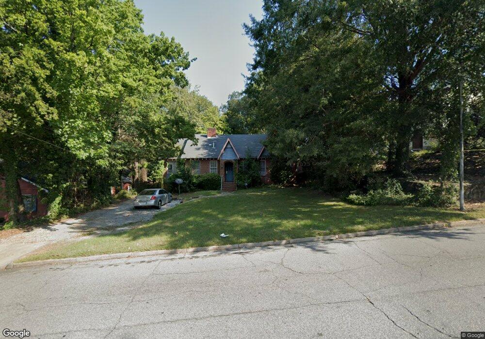
1925 13th St Columbus, GA 31906
Peacock Woods-Dimon Circle NeighborhoodEstimated Value: $213,000 - $226,000
3
Beds
3
Baths
1,679
Sq Ft
$131/Sq Ft
Est. Value
About This Home
This home is located at 1925 13th St, Columbus, GA 31906 and is currently estimated at $219,466, approximately $130 per square foot. 1925 13th St is a home located in Muscogee County with nearby schools including Richards Middle School, Hardaway High School, and Wynnton Elementary School.
Ownership History
Date
Name
Owned For
Owner Type
Purchase Details
Closed on
Feb 18, 2020
Sold by
Strickland Melinda C
Bought by
Realty Consultants Network Llc
Current Estimated Value
Purchase Details
Closed on
Mar 27, 2019
Sold by
Advanta Ira Administration Llc Fbo
Bought by
Strickland Melinda C
Purchase Details
Closed on
Feb 4, 2016
Sold by
Strickland Phillip Anthany
Bought by
Advanta Ira Administration Llc and Strickland Melinda C Ira
Purchase Details
Closed on
Jul 29, 2014
Sold by
Entrust Retirement Svcs Of
Bought by
Advanta Ira Administration Llc and Strickland Phillip Sr Ira
Create a Home Valuation Report for This Property
The Home Valuation Report is an in-depth analysis detailing your home's value as well as a comparison with similar homes in the area
Home Values in the Area
Average Home Value in this Area
Purchase History
| Date | Buyer | Sale Price | Title Company |
|---|---|---|---|
| Realty Consultants Network Llc | -- | -- | |
| Strickland Melinda C | -- | -- | |
| Advanta Ira Administration Llc | $124,000 | -- | |
| Advanta Ira Administration Llc | -- | -- |
Source: Public Records
Tax History
| Year | Tax Paid | Tax Assessment Tax Assessment Total Assessment is a certain percentage of the fair market value that is determined by local assessors to be the total taxable value of land and additions on the property. | Land | Improvement |
|---|---|---|---|---|
| 2025 | $252 | $64,320 | $14,172 | $50,148 |
| 2024 | $2,518 | $64,320 | $14,172 | $50,148 |
| 2023 | $2,534 | $64,320 | $14,172 | $50,148 |
| 2022 | $2,090 | $51,192 | $14,172 | $37,020 |
| 2021 | $784 | $19,200 | $4,800 | $14,400 |
| 2020 | $784 | $19,200 | $4,800 | $14,400 |
| 2019 | $2,082 | $50,820 | $14,172 | $36,648 |
| 2018 | $2,082 | $50,820 | $14,172 | $36,648 |
| 2017 | $2,089 | $50,820 | $14,172 | $36,648 |
| 2016 | $2,056 | $49,841 | $4,114 | $45,727 |
| 2015 | $2,058 | $49,841 | $4,114 | $45,727 |
| 2014 | $2,061 | $49,841 | $4,114 | $45,727 |
| 2013 | -- | $49,841 | $4,114 | $45,727 |
Source: Public Records
Map
Nearby Homes
Your Personal Tour Guide
Ask me questions while you tour the home.