Estimated Value: $550,721 - $634,000
4
Beds
2
Baths
2,201
Sq Ft
$260/Sq Ft
Est. Value
About This Home
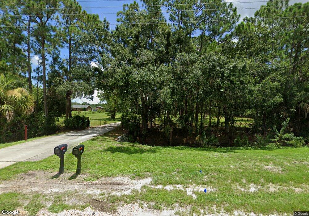
This home is located at 1925 Adamson Rd, Cocoa, FL 32926 and is currently estimated at $572,180, approximately $259 per square foot. 1925 Adamson Rd is a home located in Brevard County with nearby schools including Cocoa High School and Fairglen Elementary School.
Ownership History
Date
Name
Owned For
Owner Type
Purchase Details
Closed on
Jun 22, 2004
Sold by
Calley Robert Wayne and Calley Dorothy S
Bought by
Bigger Eric J and Bigger Cynthia M
Current Estimated Value
Home Financials for this Owner
Home Financials are based on the most recent Mortgage that was taken out on this home.
Original Mortgage
$219,900
Outstanding Balance
$109,652
Interest Rate
6.3%
Estimated Equity
$462,528
Create a Home Valuation Report for This Property
The Home Valuation Report is an in-depth analysis detailing your home's value as well as a comparison with similar homes in the area
Home Values in the Area
Average Home Value in this Area
Purchase History
| Date | Buyer | Sale Price | Title Company |
|---|---|---|---|
| Bigger Eric J | $319,900 | Federal Title Ins Assoc Inc |
Source: Public Records
Mortgage History
| Date | Status | Borrower | Loan Amount |
|---|---|---|---|
| Open | Bigger Eric J | $219,900 |
Source: Public Records
Tax History
| Year | Tax Paid | Tax Assessment Tax Assessment Total Assessment is a certain percentage of the fair market value that is determined by local assessors to be the total taxable value of land and additions on the property. | Land | Improvement |
|---|---|---|---|---|
| 2025 | $2,742 | $203,050 | -- | -- |
| 2024 | $2,698 | $197,330 | -- | -- |
| 2023 | $2,698 | $191,590 | $0 | $0 |
| 2022 | $2,528 | $186,010 | $0 | $0 |
| 2021 | $2,573 | $180,600 | $0 | $0 |
| 2020 | $2,495 | $178,110 | $0 | $0 |
| 2019 | $2,440 | $174,110 | $0 | $0 |
| 2018 | $2,443 | $170,870 | $0 | $0 |
| 2017 | $2,458 | $167,360 | $0 | $0 |
| 2016 | $2,490 | $163,920 | $34,350 | $129,570 |
| 2015 | $2,523 | $162,790 | $34,350 | $128,440 |
| 2014 | $2,528 | $161,500 | $34,350 | $127,150 |
Source: Public Records
Map
Nearby Homes
- 4641 Talbot Blvd
- 4901 Talbot Blvd
- 1709 Morely Dr
- 5092 Talbot Blvd
- 5070 Junedale Dr
- 5954 Orsino Ln
- 5101 Craig Rd
- 6331 Quarterhorse Cir
- 5121 Dalehurst Dr
- 1337 Mycroft Dr
- 931 Unknown
- 1760 Morely Dr
- 1759 Morely Dr
- 4941 Talbot Blvd
- 1330 Mycroft Dr
- 1319 Tarton Way
- 425 Outer Dr Unit 208
- 336 Horseshoe Bend Cir Unit 197
- 495 Outer Dr Unit 201
- 5561 Talbot Blvd
- 1945 Adamson Rd
- 1965 Adamson Rd
- 1885 Adamson Rd
- 1985 Adamson Rd
- 000 Pioneer Ave
- 00011 Unknown
- 0001 Unknown
- 000000 Unknown
- 2025 Adamson Rd
- 0 Freezer Ln Unit 673600
- 2055 Adamson Rd
- 2035 Adamson Rd
- 5968 Freezer Ln
- 6441 Sorrell Dr
- 6441 Sorrel Dr
- 6451 Sorrell Dr
- Xxxxx Xxxxxxxx
- 6421 Sorrell Dr
- 4772 Talbot Blvd
- 6431 Sorrell Dr
Your Personal Tour Guide
Ask me questions while you tour the home.