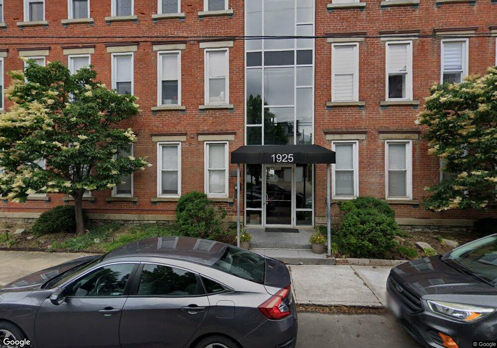
1925 Auburn Ave Unit 1 Cincinnati, OH 45219
Mount Auburn NeighborhoodEstimated Value: $280,000 - $337,000
2
Beds
2
Baths
1,291
Sq Ft
$236/Sq Ft
Est. Value
About This Home
This home is located at 1925 Auburn Ave Unit 1, Cincinnati, OH 45219 and is currently estimated at $304,647, approximately $235 per square foot. 1925 Auburn Ave Unit 1 is a home located in Hamilton County with nearby schools including William H. Taft Elementary School, Robert A. Taft Information Technology High School, and Gilbert A. Dater High School.
Ownership History
Date
Name
Owned For
Owner Type
Purchase Details
Closed on
Jun 19, 2006
Sold by
Keys Hill Development Llc
Bought by
Husman Paul
Current Estimated Value
Home Financials for this Owner
Home Financials are based on the most recent Mortgage that was taken out on this home.
Original Mortgage
$159,400
Outstanding Balance
$92,528
Interest Rate
6.73%
Mortgage Type
Purchase Money Mortgage
Estimated Equity
$212,119
Purchase Details
Closed on
Apr 28, 2005
Sold by
Mt Auburn Heights Llc
Bought by
Keys Hill Development Llc
Purchase Details
Closed on
Nov 4, 2004
Sold by
Lrehc Ltd
Bought by
Mt Auburn Heights Llc
Create a Home Valuation Report for This Property
The Home Valuation Report is an in-depth analysis detailing your home's value as well as a comparison with similar homes in the area
Home Values in the Area
Average Home Value in this Area
Purchase History
| Date | Buyer | Sale Price | Title Company |
|---|---|---|---|
| Husman Paul | -- | None Available | |
| Keys Hill Development Llc | $1,088,400 | None Available | |
| Mt Auburn Heights Llc | -- | -- |
Source: Public Records
Mortgage History
| Date | Status | Borrower | Loan Amount |
|---|---|---|---|
| Open | Husman Paul | $159,400 |
Source: Public Records
Tax History
| Year | Tax Paid | Tax Assessment Tax Assessment Total Assessment is a certain percentage of the fair market value that is determined by local assessors to be the total taxable value of land and additions on the property. | Land | Improvement |
|---|---|---|---|---|
| 2025 | $4,834 | $78,498 | $11,375 | $67,123 |
| 2023 | $4,793 | $78,498 | $11,375 | $67,123 |
| 2022 | $4,616 | $67,806 | $9,975 | $57,831 |
| 2021 | $4,443 | $67,806 | $9,975 | $57,831 |
| 2020 | $4,573 | $67,806 | $9,975 | $57,831 |
| 2019 | $4,385 | $59,479 | $8,750 | $50,729 |
| 2018 | $4,384 | $59,479 | $8,750 | $50,729 |
| 2017 | $4,165 | $59,479 | $8,750 | $50,729 |
| 2016 | $3,764 | $53,001 | $8,750 | $44,251 |
| 2015 | $1,353 | $53,001 | $8,750 | $44,251 |
| 2014 | $1,363 | $53,001 | $8,750 | $44,251 |
| 2013 | $1,387 | $53,001 | $8,750 | $44,251 |
Source: Public Records
Map
Nearby Homes
- 1938 Bigelow St
- 1942 Bigelow St
- 1940 Bigelow St
- 1946 Bigelow St
- 1944 Bigelow St
- 1883 Walker St
- 1948 Bigelow St
- 1863 Walker St
- 224 Dorchester Ave
- 164 Dorchester Ave
- 152 Dorchester Ave
- 1825 Walker St
- 136 Dorchester Ave
- 318 Seitz St
- 320 Mulberry St
- 305 Seitz St
- 330 Boal St
- 138 Dorsey St
- 0 Goethe St Unit 1848287
- 203 Seitz St
- 1925 Auburn Ave Unit 4
- 1925 Auburn Ave Unit 3
- 1925 Auburn Ave Unit 8
- 1925 Auburn Ave Unit 18
- 1925 Auburn Ave Unit 18
- 1925 Auburn Ave Unit 18
- 1925 Auburn Ave Unit 18
- 1925 Auburn Ave Unit 2
- 1925 Auburn Ave Unit 7
- 1925 Auburn Ave
- 1925 Auburn Ave Unit 5
- 1925 Auburn Ave Unit 6
- 1933 Auburn Ave
- 1 Park Place
- 1935 Auburn Ave
- 2 Park Place
- 1924 Auburn Ave
- 1924 Auburn Ave
- 1924 Auburn Ave
- 1924 Auburn Ave
Your Personal Tour Guide
Ask me questions while you tour the home.