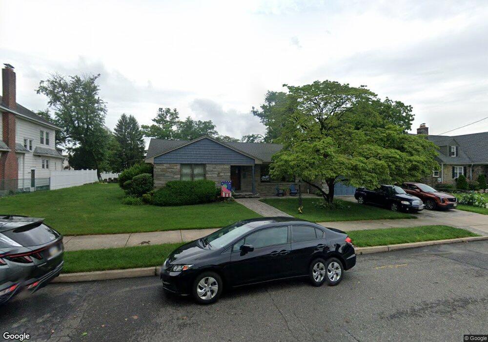
1925 Browning Rd Pennsauken, NJ 08110
Estimated Value: $318,935 - $407,000
--
Bed
--
Bath
2,016
Sq Ft
$183/Sq Ft
Est. Value
About This Home
This home is located at 1925 Browning Rd, Pennsauken, NJ 08110 and is currently estimated at $369,234, approximately $183 per square foot. 1925 Browning Rd is a home located in Camden County with nearby schools including Pennsauken High School, St. Peter Elementary School, and St. Cecilia School.
Ownership History
Date
Name
Owned For
Owner Type
Purchase Details
Closed on
Aug 11, 2000
Sold by
D'Amico Jean M
Bought by
Rodriguez Carlos Raul
Current Estimated Value
Home Financials for this Owner
Home Financials are based on the most recent Mortgage that was taken out on this home.
Original Mortgage
$60,000
Outstanding Balance
$21,617
Interest Rate
8.13%
Estimated Equity
$347,617
Purchase Details
Closed on
Jun 11, 1985
Bought by
Rodriguez Carlos and Rodriguez Rosalie
Create a Home Valuation Report for This Property
The Home Valuation Report is an in-depth analysis detailing your home's value as well as a comparison with similar homes in the area
Home Values in the Area
Average Home Value in this Area
Purchase History
| Date | Buyer | Sale Price | Title Company |
|---|---|---|---|
| Rodriguez Carlos Raul | $75,000 | -- | |
| Rodriguez Carlos | $67,500 | -- |
Source: Public Records
Mortgage History
| Date | Status | Borrower | Loan Amount |
|---|---|---|---|
| Open | Rodriguez Carlos Raul | $60,000 |
Source: Public Records
Tax History Compared to Growth
Tax History
| Year | Tax Paid | Tax Assessment Tax Assessment Total Assessment is a certain percentage of the fair market value that is determined by local assessors to be the total taxable value of land and additions on the property. | Land | Improvement |
|---|---|---|---|---|
| 2025 | $8,021 | $406,300 | $58,500 | $347,800 |
| 2024 | $7,866 | $184,300 | $48,000 | $136,300 |
| 2023 | $7,866 | $184,300 | $48,000 | $136,300 |
| 2022 | $7,112 | $184,300 | $48,000 | $136,300 |
| 2021 | $7,304 | $184,300 | $48,000 | $136,300 |
| 2020 | $6,543 | $184,300 | $48,000 | $136,300 |
| 2019 | $6,618 | $184,300 | $48,000 | $136,300 |
| 2018 | $6,653 | $184,300 | $48,000 | $136,300 |
| 2017 | $6,666 | $184,300 | $48,000 | $136,300 |
| 2016 | $6,546 | $184,300 | $48,000 | $136,300 |
| 2015 | $6,742 | $184,300 | $48,000 | $136,300 |
| 2014 | $6,613 | $118,900 | $27,000 | $91,900 |
Source: Public Records
Map
Nearby Homes
- 1903 Tinsman Ave
- 1666 Browning Rd
- 1938 W River Dr
- 4747 Westfield Ave
- 1828 47th St
- 2154 Browning Rd
- 1715 47th St
- 1824 44th St
- 5507 Wayne Ave
- 1722 44th St
- 1506 Hollinshed Ave
- 2146 44th St
- 1744 43rd St
- 2217 Hollinshed Ave
- 5501 River Rd
- 2254 Hollinshed Ave
- 6036 Washington Ave
- 2232 42nd St
- 2446 46th St
- 2117 Scovel Ave
- 1937 Browning Rd
- 1915 Browning Rd
- 1922 49th St
- 1918 49th St
- 1938 49th St
- 1906 49th St Unit 2ND FL
- 1906 49th St Unit 1ST FL
- 1906 49th St
- 1901 Browning Rd
- 1924 Browning Rd
- 1930 Browning Rd
- 4904 High St
- 1936 Browning Rd
- 1944 49th St
- 1955 Browning Rd
- 1910 Browning Rd
- 1948 Browning Rd
- 1919 49th St
- 1902 Browning Rd
- 1913 49th St