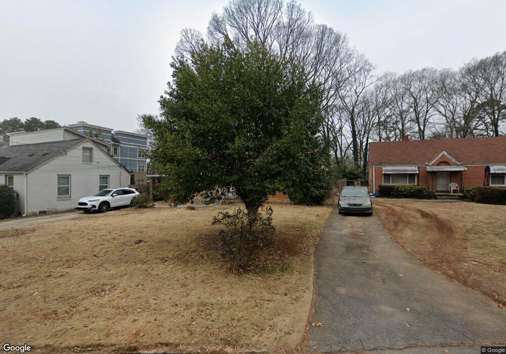
1925 Cannon St Decatur, GA 30032
East Lake Terrace NeighborhoodEstimated Value: $248,000 - $291,000
3
Beds
1
Bath
1,166
Sq Ft
$236/Sq Ft
Est. Value
About This Home
This home is located at 1925 Cannon St, Decatur, GA 30032 and is currently estimated at $274,794, approximately $235 per square foot. 1925 Cannon St is a home located in DeKalb County with nearby schools including Toney Elementary School, Columbia Middle School, and Columbia High School.
Ownership History
Date
Name
Owned For
Owner Type
Purchase Details
Closed on
Feb 5, 2016
Sold by
Scott Susie Ann Estate
Bought by
West Shonda
Current Estimated Value
Home Financials for this Owner
Home Financials are based on the most recent Mortgage that was taken out on this home.
Original Mortgage
$55,750
Outstanding Balance
$44,354
Interest Rate
3.97%
Mortgage Type
New Conventional
Estimated Equity
$230,440
Purchase Details
Closed on
Feb 4, 2016
Sold by
Bonner Joyce
Bought by
West Shonda
Home Financials for this Owner
Home Financials are based on the most recent Mortgage that was taken out on this home.
Original Mortgage
$55,750
Outstanding Balance
$44,354
Interest Rate
3.97%
Mortgage Type
New Conventional
Estimated Equity
$230,440
Create a Home Valuation Report for This Property
The Home Valuation Report is an in-depth analysis detailing your home's value as well as a comparison with similar homes in the area
Home Values in the Area
Average Home Value in this Area
Purchase History
| Date | Buyer | Sale Price | Title Company |
|---|---|---|---|
| West Shonda | $60,000 | -- | |
| West Shonda | -- | -- | |
| West Shonda | -- | -- | |
| West Shonda | -- | -- |
Source: Public Records
Mortgage History
| Date | Status | Borrower | Loan Amount |
|---|---|---|---|
| Open | West Shonda | $55,750 | |
| Closed | West Shonda | $55,750 |
Source: Public Records
Tax History Compared to Growth
Tax History
| Year | Tax Paid | Tax Assessment Tax Assessment Total Assessment is a certain percentage of the fair market value that is determined by local assessors to be the total taxable value of land and additions on the property. | Land | Improvement |
|---|---|---|---|---|
| 2025 | $2,446 | $93,960 | $63,600 | $30,360 |
| 2024 | $2,467 | $93,960 | $63,600 | $30,360 |
| 2023 | $2,467 | $92,240 | $63,600 | $28,640 |
| 2022 | $1,807 | $69,080 | $32,000 | $37,080 |
| 2021 | $1,653 | $62,400 | $32,000 | $30,400 |
| 2020 | $1,483 | $54,880 | $32,000 | $22,880 |
| 2019 | $1,560 | $58,440 | $5,760 | $52,680 |
| 2018 | $879 | $48,720 | $5,760 | $42,960 |
| 2017 | $1,395 | $24,000 | $3,720 | $20,280 |
| 2016 | $1,631 | $29,280 | $5,760 | $23,520 |
| 2014 | $348 | $15,120 | $1,920 | $13,200 |
Source: Public Records
Map
Nearby Homes
- 2425 Mellville Ave
- 2505 Mellville Ave
- 2453 Mellville Ave
- 2413 Hillside Ave
- 2446 Lynn Iris Dr
- 2390 Mellville Ave
- 2352 Marion Cir
- 1853 Stanton St
- 2616 Northview Ave
- 2392 Marion Cir
- 1809 Ellington St
- 2623 Northview Ave
- 1805 Ellington St
- 2628 Northview Ave
- 2369 Mcafee Rd
- 1902 Canterbury St
- 428 Morgan Place
- 2879 Salmon Ave SE
- 2076 Windy Hill Rd
- 2024 Collier Cir W
- 1921 Cannon St
- 1931 Cannon St
- 1915 Cannon St
- 1918 Bonner St
- 1909 Cannon St
- 1924 Bonner St
- 1928 Bonner St
- 1912 Bonner St
- 1922 Cannon St
- 1910 Cannon St
- 1934 Bonner St
- 1926 Cannon St
- 1903 Cannon St
- 1906 Bonner St
- 1932 Cannon St
- 1940 Bonner St
- 1899 Cannon St Unit 1899
- 1899 Cannon St
- 1946 Bonner St
- 0 Bonner St Unit 8660415