1925 East Harbor Rd Port Clinton, OH 43452
Estimated Value: $123,000 - $910,000
--
Bed
--
Bath
--
Sq Ft
0.83
Acres
About This Home
This home is located at 1925 East Harbor Rd, Port Clinton, OH 43452 and is currently estimated at $540,000. 1925 East Harbor Rd is a home located in Ottawa County with nearby schools including Bataan Memorial Primary School, Bataan Memorial Intermediate School, and Port Clinton Middle School.
Ownership History
Date
Name
Owned For
Owner Type
Purchase Details
Closed on
Jul 2, 2021
Sold by
Knoll Crest Investors Ltd
Bought by
Bessett Land Company Llc
Current Estimated Value
Purchase Details
Closed on
May 3, 2006
Sold by
Culp John R and Pachulski Pamela A
Bought by
Knoll Crest Investors
Purchase Details
Closed on
Oct 18, 1993
Sold by
Culp Grace Temple
Bought by
Culp Grace Temple Trustee
Create a Home Valuation Report for This Property
The Home Valuation Report is an in-depth analysis detailing your home's value as well as a comparison with similar homes in the area
Home Values in the Area
Average Home Value in this Area
Purchase History
| Date | Buyer | Sale Price | Title Company |
|---|---|---|---|
| Bessett Land Company Llc | $519,900 | Hartung Title Order | |
| Knoll Crest Investors | $519,890 | Hartung Title Agency Inc | |
| Culp Grace Temple Trustee | -- | -- |
Source: Public Records
Tax History Compared to Growth
Tax History
| Year | Tax Paid | Tax Assessment Tax Assessment Total Assessment is a certain percentage of the fair market value that is determined by local assessors to be the total taxable value of land and additions on the property. | Land | Improvement |
|---|---|---|---|---|
| 2024 | $7,091 | $206,465 | $206,465 | $0 |
| 2023 | $7,091 | $163,860 | $163,860 | $0 |
| 2022 | $6,127 | $163,860 | $163,860 | $0 |
| 2021 | $6,120 | $163,860 | $163,860 | $0 |
| 2020 | $4,042 | $103,920 | $103,920 | $0 |
| 2019 | $3,979 | $103,920 | $103,920 | $0 |
| 2018 | $3,852 | $103,920 | $103,920 | $0 |
| 2017 | $3,914 | $103,920 | $103,920 | $0 |
| 2016 | $3,923 | $103,920 | $103,920 | $0 |
| 2015 | $3,939 | $103,920 | $103,920 | $0 |
| 2014 | $3,974 | $103,920 | $103,920 | $0 |
| 2013 | $3,986 | $103,920 | $103,920 | $0 |
Source: Public Records
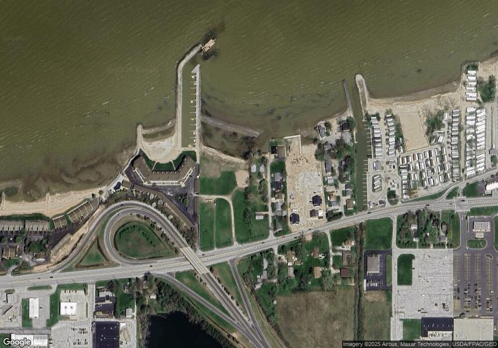
Map
Nearby Homes
- 2650 E Harbor Rd
- 0 E Harbor Rd
- 2006 E Harbor Rd
- 12 N Beach St
- 19 N Beach St
- 34 Grande Lake Dr Unit C
- 1807 E Perry St Unit 69
- 1803 E Perry St Unit 36
- 1801 E Perry St Unit 22
- 115 Driftwood Dr
- 2130 E Sand Rd
- 2321 E State Rd
- 168 Morningside Dr
- 188 Driftwood Dr
- 183 Driftwood Dr
- 1805 Briarcrest Dr
- 120 Maple St
- 635 S Liz Ln
- 214 Linden St
- 116 Walnut St
- 1925 East Harbor Rd
- 1923 East Harbor Rd
- 1923 E Harbor (Sr 163) Rd
- 1923 E Harbor Rd
- 1909 East Harbor Rd
- 1909 East Harbor Rd
- 1909 East Harbor Rd
- 1909 East Harbor Rd
- 1909 East Harbor Rd
- 1909 East Harbor Rd
- 1909 East Harbor Rd Unit 405E
- 1909 East Harbor Rd Unit 406W
- 1909 East Harbor Rd
- 1909 East Harbor Rd
- 1909 East Harbor Rd
- 1909 East Harbor Rd Unit 402W
- 1909 East Harbor Rd Unit 401W
- 1909 East Harbor Rd
- 1909 East Harbor Rd
- 1909 East Harbor Rd Unit 305E