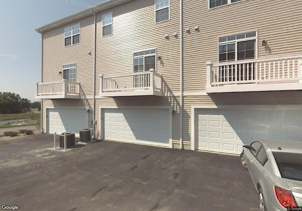
1925 Freedom Ct Unit 402 Zion, IL 60099
West Zion NeighborhoodEstimated Value: $180,000 - $251,000
2
Beds
3
Baths
1,216
Sq Ft
$173/Sq Ft
Est. Value
About This Home
This home is located at 1925 Freedom Ct Unit 402, Zion, IL 60099 and is currently estimated at $210,573, approximately $173 per square foot. 1925 Freedom Ct Unit 402 is a home located in Lake County with nearby schools including Kenneth Murphy School, Beach Park Middle School, and Zion-Benton Township High School.
Ownership History
Date
Name
Owned For
Owner Type
Purchase Details
Closed on
May 23, 2007
Sold by
Dph Shepherds Point Llc
Bought by
Truss Tyree D
Current Estimated Value
Home Financials for this Owner
Home Financials are based on the most recent Mortgage that was taken out on this home.
Original Mortgage
$199,487
Outstanding Balance
$160,707
Interest Rate
6.22%
Mortgage Type
Purchase Money Mortgage
Estimated Equity
$49,866
Create a Home Valuation Report for This Property
The Home Valuation Report is an in-depth analysis detailing your home's value as well as a comparison with similar homes in the area
Home Values in the Area
Average Home Value in this Area
Purchase History
| Date | Buyer | Sale Price | Title Company |
|---|---|---|---|
| Truss Tyree D | $199,500 | First American Title |
Source: Public Records
Mortgage History
| Date | Status | Borrower | Loan Amount |
|---|---|---|---|
| Open | Truss Tyree D | $199,487 |
Source: Public Records
Tax History Compared to Growth
Tax History
| Year | Tax Paid | Tax Assessment Tax Assessment Total Assessment is a certain percentage of the fair market value that is determined by local assessors to be the total taxable value of land and additions on the property. | Land | Improvement |
|---|---|---|---|---|
| 2024 | $4,348 | $47,148 | $2,692 | $44,456 |
| 2023 | $4,502 | $42,036 | $2,400 | $39,636 |
| 2022 | $4,502 | $40,508 | $1,972 | $38,536 |
| 2021 | $4,412 | $38,000 | $1,850 | $36,150 |
| 2020 | $4,229 | $35,741 | $1,740 | $34,001 |
| 2019 | $4,087 | $33,294 | $1,621 | $31,673 |
| 2018 | $3,984 | $32,230 | $1,615 | $30,615 |
| 2017 | $3,889 | $29,898 | $1,498 | $28,400 |
| 2016 | $3,558 | $27,141 | $1,360 | $25,781 |
| 2015 | $3,362 | $24,627 | $1,234 | $23,393 |
| 2014 | $4,224 | $29,798 | $1,300 | $28,498 |
| 2012 | $4,671 | $31,733 | $1,384 | $30,349 |
Source: Public Records
Map
Nearby Homes
- 4109 Sarah Dr
- 42334 N Heritage Lot 7 Trail
- 12434 W Van Ct
- 2010 Sunset Ct
- 2407 Phillip Dr
- 2407 Miriam Ave
- 2414 Phillip Dr
- 2413 Michael Ave
- 4533 Illinois 173
- 41320 N Green Bay Rd
- 4539 Illinois 173
- 4013 Ridge Rd
- 3404 Sarah Dr
- 3707 Willow Crest Dr
- 3717 Willow Crest Dr
- 1817 Joppa Ave
- 1304 Lorelei Dr
- 1302 Lorelei Dr
- 1531 Southport Ct
- 1304 Pelican Ct
- 1921 Freedom Ct Unit 404
- 1923 Freedom Ct Unit 403
- 1927 Freedom Ct Unit 401
- 1923 Freedom Ct Unit 2
- 1921 Freedom Ct Unit 1
- 1904 Freedom Ct Unit 373
- 1900 Freedom Ct Unit 375
- 1931 Freedom Ct Unit 412
- 1933 Freedom Ct Unit 413
- 1935 Freedom Ct Unit 414
- 1933 Freedom Ct Unit 2
- 1900 Freedom Ct Unit 1
- 1935 Freedom Ct Unit 1
- 1917 Freedom Ct
- 1915 Freedom Ct Unit 393
- 1913 Freedom Ct Unit 392
- 1903 Freedom Ct Unit 384
- 1905 Freedom Ct Unit 383
- 1907 Freedom Ct Unit 382