1925 H Path Cotopaxi, CO 81223
Estimated Value: $39,741 - $52,000
Studio
--
Bath
--
Sq Ft
6.61
Acres
About This Home
This home is located at 1925 H Path, Cotopaxi, CO 81223 and is currently estimated at $47,580. 1925 H Path is a home located in Fremont County with nearby schools including Cotopaxi Elementary School and Cotopaxi Junior/Senior High School.
Ownership History
Date
Name
Owned For
Owner Type
Purchase Details
Closed on
Jul 17, 2020
Sold by
Rathbun Bonnie D
Bought by
Wickline Lawrence W and Wickline Katherine D
Current Estimated Value
Purchase Details
Closed on
Jan 7, 2012
Sold by
Rathbun Wayne E
Bought by
Rathbun Bonnie D
Purchase Details
Closed on
May 27, 2009
Sold by
Remmerde Jason and Remmerde Carl
Bought by
Rathbun Bonnie D and Rathbun Wayne E
Purchase Details
Closed on
Apr 22, 2004
Sold by
Young Trent P and Young Doris H
Bought by
Remmerde Jason and Remmerde Cari
Purchase Details
Closed on
Sep 27, 1999
Sold by
Young
Bought by
Sangre De Cristo Elec
Purchase Details
Closed on
Jan 8, 1976
Sold by
Glenvista
Bought by
Young
Create a Home Valuation Report for This Property
The Home Valuation Report is an in-depth analysis detailing your home's value as well as a comparison with similar homes in the area
Purchase History
| Date | Buyer | Sale Price | Title Company |
|---|---|---|---|
| Wickline Lawrence W | $29,000 | None Available | |
| Rathbun Bonnie D | -- | None Available | |
| Rathbun Bonnie D | $24,900 | Stewart Title | |
| Remmerde Jason | $17,500 | -- | |
| Sangre De Cristo Elec | -- | -- | |
| Young | $8,000 | -- |
Source: Public Records
Tax History
| Year | Tax Paid | Tax Assessment Tax Assessment Total Assessment is a certain percentage of the fair market value that is determined by local assessors to be the total taxable value of land and additions on the property. | Land | Improvement |
|---|---|---|---|---|
| 2024 | $536 | $11,065 | $11,065 | $0 |
| 2023 | $442 | $9,037 | $9,037 | $0 |
| 2022 | $333 | $7,093 | $7,093 | $0 |
| 2021 | $326 | $7,093 | $7,093 | $0 |
| 2020 | $320 | $7,093 | $7,093 | $0 |
| 2019 | $319 | $7,093 | $7,093 | $0 |
| 2018 | $216 | $4,792 | $0 | $0 |
| 2017 | $216 | $4,792 | $0 | $0 |
| 2016 | $190 | $4,220 | $0 | $0 |
| 2015 | $190 | $4,220 | $0 | $0 |
| 2012 | $239 | $5,751 | $5,751 | $0 |
Source: Public Records
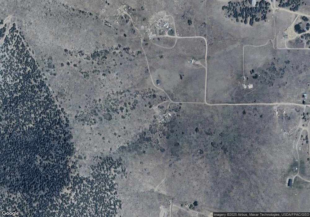
Map
Nearby Homes
- 763 17th Trail
- 1012 17th Trail
- 763 15th Trail
- 639 15th Trail
- 1839 15th Trail
- 863 15th Trail
- 739 17th Trail
- 000 K Path
- TBD G Path
- 0 G Path
- 0 Tbd Vacant Land Unit 2517535
- xx 22nd Trail
- 2125 J Path
- TBD 25th Trail
- 474 Deer Run Dr
- TBD 24th Trail
- 0 27th Trail
- TBD 27th Trail
- 395 Gibbons Trailway
- 1971 County Road 27a
- 1925 H Path
- 1876 H Path
- TR 107 H Path
- 1976 H Path
- 839 19th Trail
- 000 18th Trail
- 863 19th Trail
- 888 18th Trail
- TBD Tr-158 159 I Path
- 1726 H Path
- TR-158 & 159 I Path
- 1875 G Path
- 99925144 I Path
- TBD I Path Unit 21
- TBDTR58A I Path
- TBD MB I Path
- TBD I Path
- 11th Trail I Path
- 44 I Path
- TR-44 I Path Unit 44
Your Personal Tour Guide
Ask me questions while you tour the home.