1925 Hardin Ln Powell, OH 43065
Estimated Value: $569,839 - $642,000
3
Beds
2
Baths
2,173
Sq Ft
$272/Sq Ft
Est. Value
About This Home
This home is located at 1925 Hardin Ln, Powell, OH 43065 and is currently estimated at $591,710, approximately $272 per square foot. 1925 Hardin Ln is a home located in Delaware County with nearby schools including Liberty Tree Elementary School, Hyatts Middle School, and Olentangy Berlin High School.
Ownership History
Date
Name
Owned For
Owner Type
Purchase Details
Closed on
Aug 21, 2000
Sold by
Meridian Homes Inc
Bought by
Showalter George W and Showalter Paula J
Current Estimated Value
Home Financials for this Owner
Home Financials are based on the most recent Mortgage that was taken out on this home.
Original Mortgage
$8,160
Interest Rate
8.16%
Mortgage Type
New Conventional
Create a Home Valuation Report for This Property
The Home Valuation Report is an in-depth analysis detailing your home's value as well as a comparison with similar homes in the area
Home Values in the Area
Average Home Value in this Area
Purchase History
| Date | Buyer | Sale Price | Title Company |
|---|---|---|---|
| Showalter George W | $49,000 | -- |
Source: Public Records
Mortgage History
| Date | Status | Borrower | Loan Amount |
|---|---|---|---|
| Closed | Showalter George W | $8,160 |
Source: Public Records
Tax History
| Year | Tax Paid | Tax Assessment Tax Assessment Total Assessment is a certain percentage of the fair market value that is determined by local assessors to be the total taxable value of land and additions on the property. | Land | Improvement |
|---|---|---|---|---|
| 2024 | $9,201 | $175,420 | $43,120 | $132,300 |
| 2023 | $9,237 | $175,420 | $43,120 | $132,300 |
| 2022 | $7,587 | $114,240 | $30,870 | $83,370 |
| 2021 | $7,634 | $114,240 | $30,870 | $83,370 |
| 2020 | $7,671 | $114,240 | $30,870 | $83,370 |
| 2019 | $6,538 | $101,510 | $25,730 | $75,780 |
| 2018 | $6,569 | $101,510 | $25,730 | $75,780 |
| 2017 | $7,069 | $95,170 | $19,600 | $75,570 |
| 2016 | $6,555 | $95,170 | $19,600 | $75,570 |
| 2015 | $5,928 | $95,170 | $19,600 | $75,570 |
| 2014 | $6,010 | $95,170 | $19,600 | $75,570 |
| 2013 | $6,149 | $95,170 | $19,600 | $75,570 |
Source: Public Records
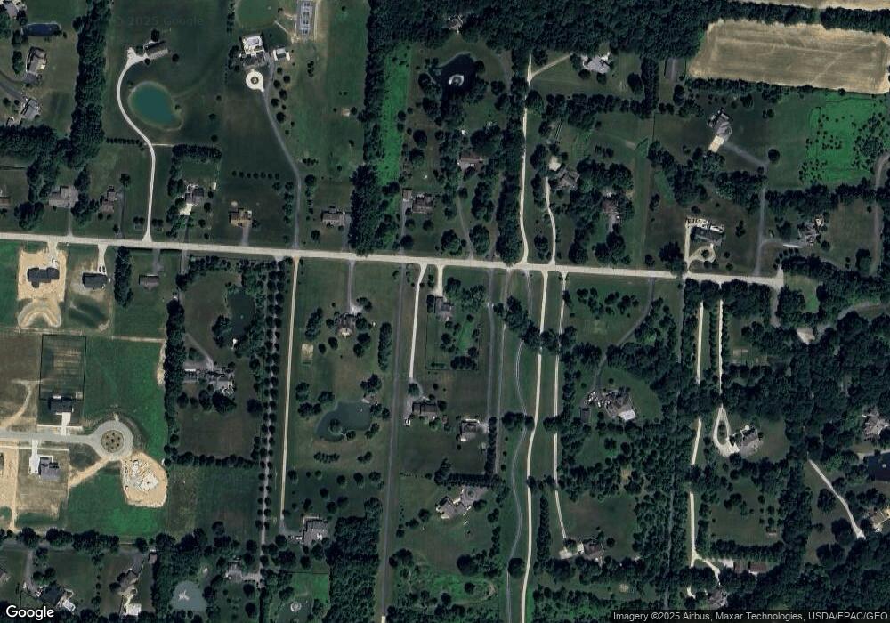
Map
Nearby Homes
- 2481 Clark Shaw Rd
- 5507 Fawnsbury Ct
- 5503 Fawnsbury Ct
- 5519 Fawnsbury Ct
- 5618 Dutch Ln
- 5614 Dutch Ln
- 5626 Dutch Ln
- 5502 Dutch Ln
- 5640 Dutch Ln
- 5636 Dutch Ln
- 5644 Dutch Ln
- 5662 Dutch Ln
- 2513 Clark Shaw Rd
- 5666 Dutch Ln
- 5516 Fawnsbury Ct
- 5512 Fawnsbury Ct
- 5680 Dutch Ln
- 5684 Dutch Ln
- 5688 Dutch Ln
- 5692 Dutch Ln
- 1935 Hardin Ln
- 1991 Hardin Ln
- 1891 Hardin Ln
- 1930 Hardin Ln
- 2000 Hardin Ln
- 1910 Hardin Ln
- 1840 Hardin Ln
- 1783 Hardin Ln
- 1877 Hardin Ln
- 1800 Hardin Ln
- 2020 Hardin Ln
- 2190 Thea Ln N Unit Tract 6
- 2246 Thea Ln N Unit Tract 4
- 2272 Thea Ln N Unit Tract 3
- 2330 Thea Ln N Unit Tract 1
- 2015 Hardin Ln
- 2085 Hardin Ln
- 1740 Hardin Ln
- 1839 Hardin Ln
- 2082 Hardin Ln
Your Personal Tour Guide
Ask me questions while you tour the home.