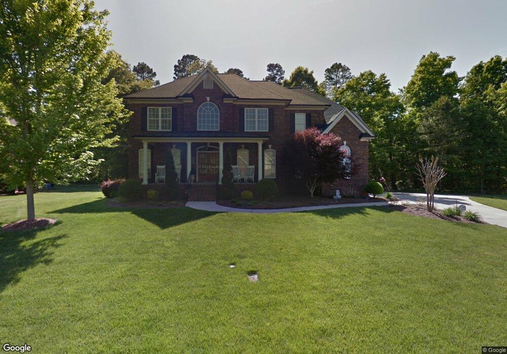
1925 Links Ln Matthews, NC 28104
Estimated Value: $785,924 - $870,000
5
Beds
3
Baths
3,440
Sq Ft
$238/Sq Ft
Est. Value
About This Home
This home is located at 1925 Links Ln, Matthews, NC 28104 and is currently estimated at $817,481, approximately $237 per square foot. 1925 Links Ln is a home located in Union County with nearby schools including Stallings Elementary School, Porter Ridge Middle School, and Porter Ridge High School.
Ownership History
Date
Name
Owned For
Owner Type
Purchase Details
Closed on
Dec 16, 2004
Sold by
The Dublin Building Group Ltd
Bought by
Wilber James A and Wilber Donna Y
Current Estimated Value
Home Financials for this Owner
Home Financials are based on the most recent Mortgage that was taken out on this home.
Original Mortgage
$304,375
Outstanding Balance
$149,730
Interest Rate
5.67%
Mortgage Type
Unknown
Estimated Equity
$667,751
Purchase Details
Closed on
Aug 30, 2004
Sold by
Ty Par Realty Inc
Bought by
The Dublin Building Group Ltd
Create a Home Valuation Report for This Property
The Home Valuation Report is an in-depth analysis detailing your home's value as well as a comparison with similar homes in the area
Purchase History
| Date | Buyer | Sale Price | Title Company |
|---|---|---|---|
| Wilber James A | $380,500 | -- | |
| The Dublin Building Group Ltd | $65,000 | -- |
Source: Public Records
Mortgage History
| Date | Status | Borrower | Loan Amount |
|---|---|---|---|
| Open | Wilber James A | $304,375 | |
| Closed | Wilber James A | $57,070 |
Source: Public Records
Tax History
| Year | Tax Paid | Tax Assessment Tax Assessment Total Assessment is a certain percentage of the fair market value that is determined by local assessors to be the total taxable value of land and additions on the property. | Land | Improvement |
|---|---|---|---|---|
| 2025 | $5,362 | $795,100 | $0 | $0 |
| 2024 | $4,049 | $465,600 | $79,700 | $385,900 |
| 2023 | $3,876 | $465,600 | $79,700 | $385,900 |
| 2022 | $3,855 | $465,600 | $79,700 | $385,900 |
| 2021 | $3,855 | $465,600 | $79,700 | $385,900 |
| 2020 | $3,711 | $368,500 | $58,000 | $310,500 |
| 2019 | $3,711 | $368,500 | $58,000 | $310,500 |
| 2018 | $0 | $368,500 | $58,000 | $310,500 |
| 2017 | $3,856 | $368,500 | $58,000 | $310,500 |
| 2016 | $3,842 | $368,500 | $58,000 | $310,500 |
| 2015 | $3,888 | $368,500 | $58,000 | $310,500 |
| 2014 | $2,640 | $369,530 | $55,000 | $314,530 |
Source: Public Records
Map
Nearby Homes
- 1151 Avalon Place
- 1344 Garden Vista Dr
- 1318 Poppy Way
- 9008 Birch Ct
- 1915 Millbrook Ln
- 607 Southstone Dr
- 1330 Millview Ln
- 1022 Galloway Dr
- 1026 Galloway Dr
- 8106 Castlemaine Dr
- 8056 Hunley Ridge Rd
- 14404 Lawyers Rd
- 5020 Scaleybark Ct
- 5518 Two Iron Dr
- 0 Union Rd Unit CAR4114099
- 15927 Lawyers Rd
- 650 Union Rd
- 6111 Dovetail Ct
- 14300 Lawyers Rd
- 6300 Allen Black Rd
- 1100 Avalon Place Unit 12
- 1108 Avalon Place Unit 14
- 1917 Links Ln
- 1112 Avalon Place
- 1916 Links Ln
- 1924 Links Ln
- 1036 Avalon Place Unit 10
- 1932 Links Ln
- 1116 Avalon Place Unit 16
- 1032 Avalon Place Unit 9
- 1032 Avalon Place
- 1908 Links Ln
- 1909 Links Ln
- 1120 Avalon Place Unit 17
- 1120 Avalon Place
- 1028 Avalon Place Unit 8
- 1940 Links Ln
- 1111 Avalon Place Unit 93
- 1124 Avalon Place Unit 18
- 1024 Avalon Place Unit 7
Your Personal Tour Guide
Ask me questions while you tour the home.