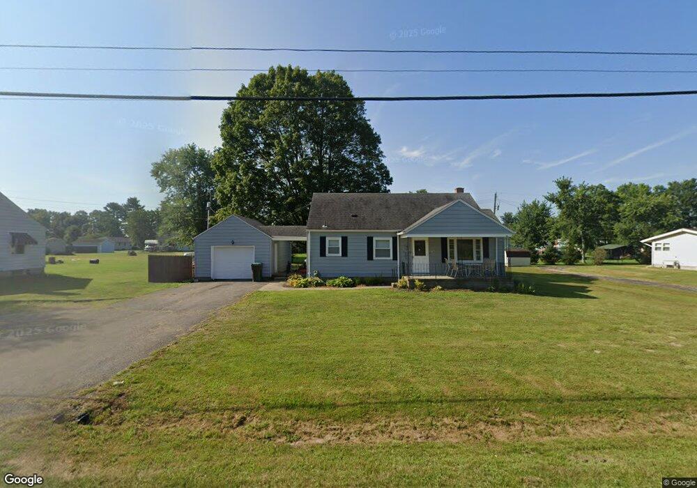
1925 Main St NE Thurston, OH 43157
Estimated Value: $167,000 - $227,586
2
Beds
1
Bath
1,450
Sq Ft
$135/Sq Ft
Est. Value
About This Home
This home is located at 1925 Main St NE, Thurston, OH 43157 and is currently estimated at $195,397, approximately $134 per square foot. 1925 Main St NE is a home with nearby schools including Liberty Union Elementary School, Liberty Union Middle School, and Liberty Union High School.
Ownership History
Date
Name
Owned For
Owner Type
Purchase Details
Closed on
Jan 3, 2023
Sold by
Bader Randy Lynn and Bader Tamara Ann
Bought by
Bader Rentals Llc
Current Estimated Value
Purchase Details
Closed on
Dec 31, 2013
Sold by
Federal National Mortgage Association
Bought by
Bader Randy Lynn and Bader Tamara Ann
Purchase Details
Closed on
Aug 27, 2013
Sold by
Harter Ernest H
Bought by
Federal National Mortgage Association
Create a Home Valuation Report for This Property
The Home Valuation Report is an in-depth analysis detailing your home's value as well as a comparison with similar homes in the area
Home Values in the Area
Average Home Value in this Area
Purchase History
| Date | Buyer | Sale Price | Title Company |
|---|---|---|---|
| Bader Rentals Llc | -- | -- | |
| Bader Randy Lynn | $70,000 | None Available | |
| Federal National Mortgage Association | -- | None Available |
Source: Public Records
Tax History
| Year | Tax Paid | Tax Assessment Tax Assessment Total Assessment is a certain percentage of the fair market value that is determined by local assessors to be the total taxable value of land and additions on the property. | Land | Improvement |
|---|---|---|---|---|
| 2025 | $3,626 | $62,270 | $20,560 | $41,710 |
| 2024 | $3,626 | $53,800 | $10,180 | $43,620 |
| 2023 | $2,026 | $53,800 | $10,180 | $43,620 |
| 2022 | $2,011 | $53,800 | $10,180 | $43,620 |
| 2021 | $1,568 | $38,220 | $8,480 | $29,740 |
| 2020 | $1,605 | $38,220 | $8,480 | $29,740 |
| 2019 | $1,633 | $38,220 | $8,480 | $29,740 |
| 2018 | $1,444 | $29,810 | $7,710 | $22,100 |
| 2017 | $1,451 | $31,100 | $9,000 | $22,100 |
| 2016 | $1,399 | $31,100 | $9,000 | $22,100 |
| 2015 | $1,378 | $30,090 | $9,000 | $21,090 |
| 2014 | $1,323 | $30,090 | $9,000 | $21,090 |
| 2013 | $1,323 | $30,090 | $9,000 | $21,090 |
Source: Public Records
Map
Nearby Homes
- 2500 Main St
- 0 Lancaster-Newark Rd NE Unit Lot A
- 0 Lancaster-Newark Rd NE
- 2985 Baltimore Somerset Rd NE
- 8011 Ruffner Rd NE
- 570 Baltimore Somerset Rd NE Unit Lot 1
- 6781 Thoreau Ln NE
- 445 Baltimore Somerset Rd NE
- 9915 Lancaster-Newark Rd NE
- 220 N Wagner Ave
- 301 N Main St
- 207 N Main St
- 111 W Columbus St
- 112 W Walnut St
- 113 Pearl St
- 211 N Main St
- 216 E Mulberry St
- 5505 Tschopp Rd NE
- 0 Lake Rd NE
- 10159 Lake Rd NE
- 3596 Ohio 256
- 1925 Baltimore-Somerset Rd NE
- 1930 Baltimore Somerset Rd NE
- 1930 Baltimore-Somerset Rd NE
- 1885 Baltimore Somerset Rd NE
- 1960 Main St
- 1924 Holt St
- 1950 Holt St
- 1935 Main St
- 1906 Holt St
- 188 Holt St
- 1835 Baltimore Somerset Rd NE
- 7979 Old Millersport Rd NE
- 1001 E Main St Unit 1001
- 0 Baltimore-Somerset Rd Unit 9907204
- 0 Baltimore-Somerset Rd Unit 215008303
- 1880 Holt St
- 1955 Holt St
- 2018 Main St
- 7941 Old Millersport Rd NE
Your Personal Tour Guide
Ask me questions while you tour the home.