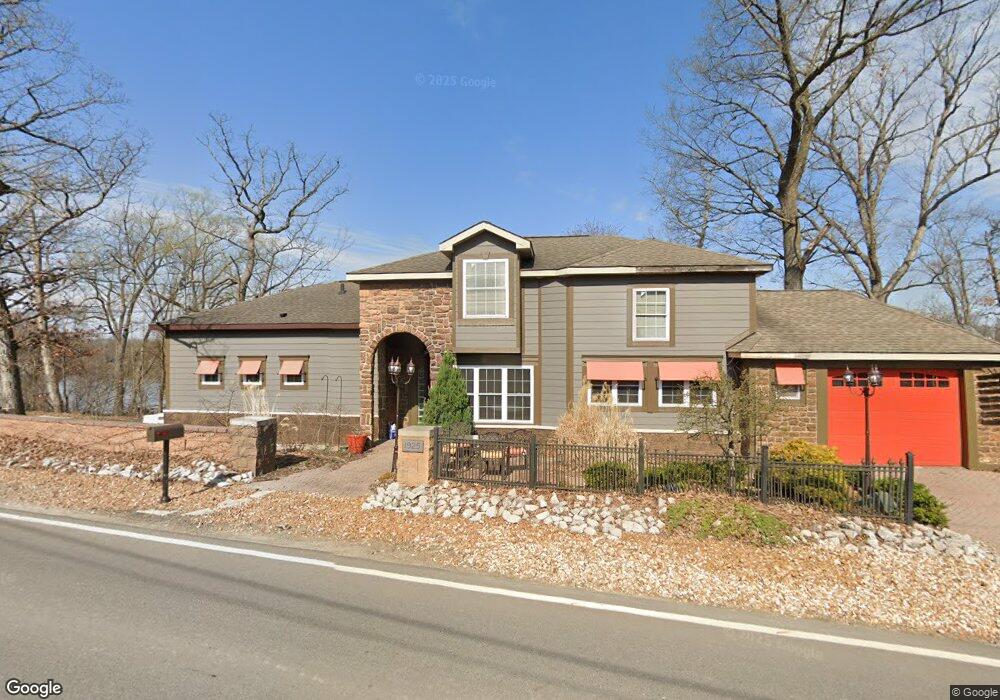
1925 Maxfield Rd Hartland, MI 48353
Estimated Value: $395,000 - $594,593
3
Beds
2
Baths
2,066
Sq Ft
$244/Sq Ft
Est. Value
About This Home
This home is located at 1925 Maxfield Rd, Hartland, MI 48353 and is currently estimated at $503,898, approximately $243 per square foot. 1925 Maxfield Rd is a home located in Livingston County with nearby schools including Hartland High School, Charyl Stockwell Academy, and Our Savior Evangelical Lutheran School.
Ownership History
Date
Name
Owned For
Owner Type
Purchase Details
Closed on
Jul 26, 2002
Sold by
Serridge Nicole B and Kish Nicole B
Bought by
Deangelis Mary
Current Estimated Value
Home Financials for this Owner
Home Financials are based on the most recent Mortgage that was taken out on this home.
Original Mortgage
$130,500
Outstanding Balance
$69,505
Interest Rate
10.3%
Estimated Equity
$434,393
Create a Home Valuation Report for This Property
The Home Valuation Report is an in-depth analysis detailing your home's value as well as a comparison with similar homes in the area
Home Values in the Area
Average Home Value in this Area
Purchase History
| Date | Buyer | Sale Price | Title Company |
|---|---|---|---|
| Deangelis Mary | $174,000 | Cislo Title Company |
Source: Public Records
Mortgage History
| Date | Status | Borrower | Loan Amount |
|---|---|---|---|
| Open | Deangelis Mary | $130,500 |
Source: Public Records
Tax History Compared to Growth
Tax History
| Year | Tax Paid | Tax Assessment Tax Assessment Total Assessment is a certain percentage of the fair market value that is determined by local assessors to be the total taxable value of land and additions on the property. | Land | Improvement |
|---|---|---|---|---|
| 2025 | $7,077 | $318,500 | $0 | $0 |
| 2024 | $2,601 | $297,400 | $0 | $0 |
| 2023 | $2,486 | $279,700 | $0 | $0 |
| 2022 | $6,169 | $232,900 | $0 | $0 |
| 2021 | $6,011 | $238,600 | $0 | $0 |
| 2020 | $5,994 | $237,000 | $0 | $0 |
| 2019 | $5,673 | $232,900 | $0 | $0 |
| 2018 | $5,522 | $187,500 | $0 | $0 |
| 2017 | $5,409 | $187,500 | $0 | $0 |
| 2016 | $5,037 | $185,300 | $0 | $0 |
| 2014 | $3,830 | $165,400 | $0 | $0 |
| 2012 | $3,830 | $134,100 | $0 | $0 |
Source: Public Records
Map
Nearby Homes
- 11639 Island Ct
- 2.03 Acres Highland Rd
- 12071 Highland Rd
- 12002 Renfrew Ct
- 1441 Remsing St Unit 4
- 2581 Pepper Ct
- 1020 Woods Edge Dr
- V/L Highland Rd
- 2255 Clark Rd
- 2933 Bullard Rd
- 1163 Long Lake Dr
- 1412 North Ct
- 000 Highland Rd
- V/L Parcels C & D Old Us-23 Hwy
- V/L Parcel D Old Us-23 Hwy
- V/L Parcel C Old Us-23 Hwy
- 10456 Viewtop Ct
- 10484 Northvalley Ct Unit 14
- V/L Old Us 23 Hwy
- Chase Plan at Hunters Ridge - Landings 5
- 1930 Maxfield Lake Rd
- 1930 Maxfield Rd
- 1945 Maxfield Rd
- 1895 Maxfield Rd
- 1955 Maxfield Rd
- 1886 Maxfield Rd
- 1881 Maxfield Rd
- 1873 Maxfield Rd
- 1968 Maxfield Rd
- 1983 Maxfield Rd
- 1861 Maxfield Rd
- 1990 Maxfield Rd
- 1855 Maxfield Rd
- 1860 Maxfield Rd
- 11933 Clair St
- 11943 Clair St
- 11905 Clair St
- 11947 Clair St
- 11889 Clair St
- 11920 Cundy Rd