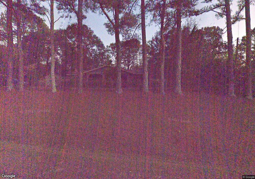
1925 Ms-30 Myrtle, MI 38650
Estimated Value: $138,084 - $259,000
3
Beds
2
Baths
1,700
Sq Ft
$121/Sq Ft
Est. Value
About This Home
This home is located at 1925 Ms-30, Myrtle, MI 38650 and is currently estimated at $205,021, approximately $120 per square foot. 1925 Ms-30 is a home located in Union County with nearby schools including West Union Attendance Center.
Ownership History
Date
Name
Owned For
Owner Type
Purchase Details
Closed on
Apr 22, 2019
Sold by
Myers Curtis and Myers Neva
Bought by
Senseman Susan Bagent and Senseman Paul Allen
Current Estimated Value
Home Financials for this Owner
Home Financials are based on the most recent Mortgage that was taken out on this home.
Original Mortgage
$109,750
Outstanding Balance
$96,094
Interest Rate
4.2%
Mortgage Type
New Conventional
Estimated Equity
$108,927
Purchase Details
Closed on
Sep 2, 2008
Sold by
Schmitt Glen and Dougherty Barbara
Bought by
Myers Curtis and Myers Neva
Create a Home Valuation Report for This Property
The Home Valuation Report is an in-depth analysis detailing your home's value as well as a comparison with similar homes in the area
Purchase History
| Date | Buyer | Sale Price | Title Company |
|---|---|---|---|
| Senseman Susan Bagent | -- | None Available | |
| Myers Curtis | -- | -- |
Source: Public Records
Mortgage History
| Date | Status | Borrower | Loan Amount |
|---|---|---|---|
| Open | Senseman Susan Bagent | $109,750 |
Source: Public Records
Tax History
| Year | Tax Paid | Tax Assessment Tax Assessment Total Assessment is a certain percentage of the fair market value that is determined by local assessors to be the total taxable value of land and additions on the property. | Land | Improvement |
|---|---|---|---|---|
| 2025 | -- | $7,132 | $0 | $0 |
| 2024 | -- | $8,200 | $0 | $0 |
| 2023 | -- | $8,200 | $0 | $0 |
| 2022 | $0 | $6,690 | $0 | $0 |
| 2021 | $0 | $6,690 | $0 | $0 |
| 2020 | $506 | $6,680 | $0 | $0 |
| 2019 | $0 | $6,680 | $0 | $0 |
| 2018 | $0 | $6,789 | $0 | $0 |
| 2017 | $0 | $6,789 | $0 | $0 |
| 2016 | $0 | $6,789 | $0 | $0 |
| 2015 | -- | $6,789 | $0 | $0 |
| 2014 | -- | $6,258 | $0 | $0 |
Source: Public Records
Map
Nearby Homes
- 0 Hwy 349 Unit 25-1934
- 1656 Mississippi 355
- 0 County Road 39
- 27 Cr 256
- 1197 County Road 515
- 1503 Mississippi 355
- 0 Cr7
- 0 Lynnlee Ln Unit 24-4389
- 1534 County Road 515
- 420 Cr 244
- 0 County Road 7
- TBD County Road 47
- 0 County Road 267
- 0 6 1 Acres Cr 59
- 0 5 8 Acres Cr 59
- 0 9 2 Acres Cr 59 Unit 25-4269
- 1268 County Road 59
- 22 County Road 255
- 1231 Lake Arrowhead Dr
- 1204 Lake Breeze Dr
- 1925 Hwy 30 W
- 1925 State Road 30 W
- 1925 Highway 30 W
- 1919 State Road 30 W
- 1933 State Road 30 W
- 1935 Mississippi 30
- 1936 State Road 30 W
- 1936 Hwy 30
- 1936 State Road Hwy 30 W
- 1917 State Road 30 W
- 1935 State Road 30 W
- 1909 State Road 30 W
- 1909 Mississippi 30
- 1016 County Road 25
- 1008 Cr 25
- 1003 State Road 349
- 1003 Highway 349
- 1014 County Road 25
- 1899 Highway Unit 30
- 1899 State Road 30 W
Your Personal Tour Guide
Ask me questions while you tour the home.